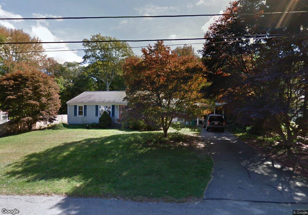
20 Patterson St Attleboro, MA 02703
Estimated Value: $344,000 - $526,000
3
Beds
1
Bath
1,040
Sq Ft
$427/Sq Ft
Est. Value
About This Home
This home is located at 20 Patterson St, Attleboro, MA 02703 and is currently estimated at $444,574, approximately $427 per square foot. 20 Patterson St is a home located in Bristol County with nearby schools including A. Irvin Studley Elementary School, Cyril K. Brennan Middle School, and Attleboro High School.
Ownership History
Date
Name
Owned For
Owner Type
Purchase Details
Closed on
Feb 4, 2016
Sold by
Fhlmc
Bought by
Bennett Linda J
Current Estimated Value
Home Financials for this Owner
Home Financials are based on the most recent Mortgage that was taken out on this home.
Original Mortgage
$193,431
Outstanding Balance
$153,191
Interest Rate
3.75%
Mortgage Type
FHA
Estimated Equity
$291,383
Purchase Details
Closed on
Mar 29, 2006
Sold by
Giannetti Nancy K and Hafner Susan
Bought by
Ahlouche Reda
Home Financials for this Owner
Home Financials are based on the most recent Mortgage that was taken out on this home.
Original Mortgage
$232,000
Interest Rate
6.32%
Mortgage Type
Purchase Money Mortgage
Purchase Details
Closed on
Jul 8, 1993
Sold by
Giannetti Nancy K and Jette Lillian
Bought by
Giannetti Mancy K
Create a Home Valuation Report for This Property
The Home Valuation Report is an in-depth analysis detailing your home's value as well as a comparison with similar homes in the area
Home Values in the Area
Average Home Value in this Area
Purchase History
| Date | Buyer | Sale Price | Title Company |
|---|---|---|---|
| Bennett Linda J | $197,000 | -- | |
| Ahlouche Reda | $290,000 | -- | |
| Giannetti Mancy K | $55,000 | -- |
Source: Public Records
Mortgage History
| Date | Status | Borrower | Loan Amount |
|---|---|---|---|
| Open | Bennett Linda J | $193,431 | |
| Previous Owner | Ahlouche Reda | $232,000 | |
| Previous Owner | Giannetti Mancy K | $50,000 | |
| Previous Owner | Giannetti Mancy K | $50,000 |
Source: Public Records
Tax History Compared to Growth
Tax History
| Year | Tax Paid | Tax Assessment Tax Assessment Total Assessment is a certain percentage of the fair market value that is determined by local assessors to be the total taxable value of land and additions on the property. | Land | Improvement |
|---|---|---|---|---|
| 2025 | $4,971 | $396,100 | $169,200 | $226,900 |
| 2024 | $4,620 | $362,900 | $152,400 | $210,500 |
| 2023 | $4,603 | $336,200 | $154,000 | $182,200 |
| 2022 | $4,448 | $307,800 | $146,700 | $161,100 |
| 2021 | $4,150 | $280,400 | $141,200 | $139,200 |
| 2020 | $3,989 | $274,000 | $134,900 | $139,100 |
| 2019 | $3,813 | $269,300 | $132,500 | $136,800 |
| 2018 | $3,748 | $252,900 | $128,500 | $124,400 |
| 2017 | $3,461 | $237,900 | $125,200 | $112,700 |
| 2016 | $3,123 | $210,700 | $116,900 | $93,800 |
| 2015 | $3,120 | $212,100 | $116,900 | $95,200 |
| 2014 | $2,933 | $197,500 | $111,900 | $85,600 |
Source: Public Records
Map
Nearby Homes
- 660 Thacher St Unit 1402
- 101 South Ave Unit 803
- 31 Verndale Ave
- 52 Hawthorne St
- 49 Bushee St
- 17 Jewel Ave
- 804 County St
- 22 Oakland Ave Unit 1
- 24 Oakland Ave Unit 1
- 309 Thacher St
- 0 Tulip Unit 73410552
- 0 Tulip Unit 73407296
- 46 Berwick Rd
- 49 Dennis St
- 6 Perez St
- 0 Woodside Ave
- 124 Tiffany St
- 75 Grant St
- 3 Grant St
- 8 Whineys Way