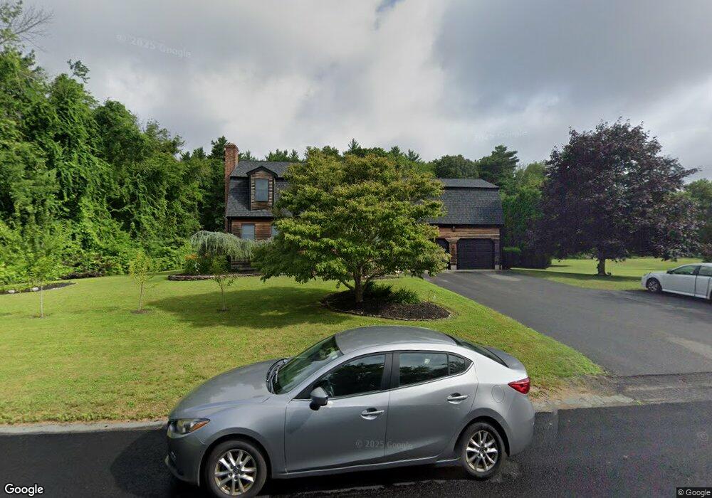
20 Pauline Way Rochester, MA 02770
Estimated Value: $640,978 - $705,000
3
Beds
2
Baths
1,825
Sq Ft
$368/Sq Ft
Est. Value
About This Home
This home is located at 20 Pauline Way, Rochester, MA 02770 and is currently estimated at $671,495, approximately $367 per square foot. 20 Pauline Way is a home located in Plymouth County with nearby schools including Rochester Memorial School and Old Rochester Regional High School.
Ownership History
Date
Name
Owned For
Owner Type
Purchase Details
Closed on
Sep 25, 2006
Sold by
Giberti Mary C
Bought by
Leonard Anthony
Current Estimated Value
Home Financials for this Owner
Home Financials are based on the most recent Mortgage that was taken out on this home.
Original Mortgage
$310,000
Interest Rate
6.59%
Mortgage Type
Purchase Money Mortgage
Create a Home Valuation Report for This Property
The Home Valuation Report is an in-depth analysis detailing your home's value as well as a comparison with similar homes in the area
Home Values in the Area
Average Home Value in this Area
Purchase History
| Date | Buyer | Sale Price | Title Company |
|---|---|---|---|
| Leonard Anthony | $450,000 | -- | |
| Giberti Mary | -- | -- |
Source: Public Records
Mortgage History
| Date | Status | Borrower | Loan Amount |
|---|---|---|---|
| Open | Giberti Mary | $316,000 | |
| Closed | Giberti Mary | $310,000 | |
| Previous Owner | Giberti Mary | $120,000 |
Source: Public Records
Tax History Compared to Growth
Tax History
| Year | Tax Paid | Tax Assessment Tax Assessment Total Assessment is a certain percentage of the fair market value that is determined by local assessors to be the total taxable value of land and additions on the property. | Land | Improvement |
|---|---|---|---|---|
| 2025 | $5,888 | $544,200 | $193,500 | $350,700 |
| 2024 | $5,752 | $520,100 | $184,300 | $335,800 |
| 2023 | $5,442 | $458,500 | $184,300 | $274,200 |
| 2022 | $5,423 | $425,700 | $221,000 | $204,700 |
| 2021 | $5,286 | $395,400 | $208,700 | $186,700 |
| 2020 | $5,179 | $384,200 | $202,300 | $181,900 |
| 2019 | $4,829 | $344,900 | $190,000 | $154,900 |
| 2018 | $4,673 | $331,200 | $171,400 | $159,800 |
| 2017 | $4,789 | $332,800 | $171,400 | $161,400 |
| 2016 | $4,649 | $331,800 | $172,700 | $159,100 |
| 2015 | $4,550 | $323,400 | $172,700 | $150,700 |
| 2014 | $4,460 | $322,000 | $167,500 | $154,500 |
Source: Public Records
Map
Nearby Homes
- 135 Pine St
- 714 Snipatuit Rd
- 86 Pine St
- 43 Hartley Rd
- 21 Bennett Rd
- 2413 Main St
- 247 Braley Hill Rd
- 562 North Ave
- 21 Robinson Rd
- 282 Cushman Rd
- 1-3 Doctor Hickey Ln
- 290 Mendell Rd
- 0 Rounseville Rd
- 2 Hayes St
- 32 Morton Rd
- 36 Winfield St
- 709 Walnut Plain Rd
- 871 Walnut Plain Rd
- 219 Leonard St
- 0 Confidential Way Unit 73340085
- 8 Pauline Way
- 17 Pauline Way
- 25 Pauline Way
- 5 Pauline Way
- 491 Snipatuit Rd
- 497 Snipatuit Rd
- 479 Snipatuit Rd
- 3 Pauline Way
- 452 Snipatuit Rd
- 469 Snipatuit Rd
- 507 Snipatuit Rd
- 500 Snipatuit Rd
- 476 Snipatuit Rd
- 453 Snipatuit Rd
- 515 Snipatuit Rd
- 478 Snipatuit Rd
- 523 Snipatuit Rd
- 516 Snipatuit Rd
- 524 Snipatuit Rd
- 529 Snipatuit Rd