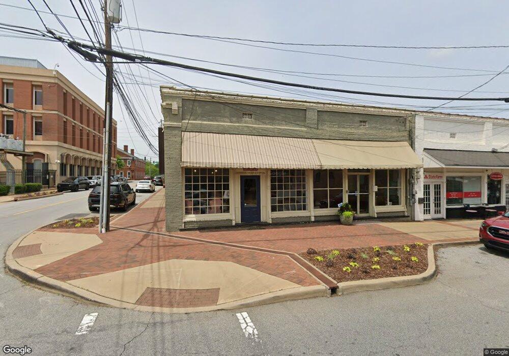
20 Perry St Newnan, GA 30263
Estimated Value: $290,000
--
Bed
--
Bath
2,255
Sq Ft
$129/Sq Ft
Est. Value
About This Home
This home is located at 20 Perry St, Newnan, GA 30263 and is currently priced at $290,000, approximately $128 per square foot. 20 Perry St is a home located in Coweta County with nearby schools including Elm Street Elementary School, Evans Middle School, and Newnan High School.
Ownership History
Date
Name
Owned For
Owner Type
Purchase Details
Closed on
Jun 15, 2001
Sold by
Logan Susan G
Bought by
Longstraw Inv Llc
Current Estimated Value
Home Financials for this Owner
Home Financials are based on the most recent Mortgage that was taken out on this home.
Original Mortgage
$12,000
Interest Rate
7.06%
Mortgage Type
Commercial
Purchase Details
Closed on
May 25, 2000
Sold by
Mullally Jones G
Bought by
Mullally James C and Fortson Holly M
Purchase Details
Closed on
Jun 12, 1997
Bought by
Logan Susan G Truste
Purchase Details
Closed on
Dec 31, 1992
Bought by
Logan Susan G and Logan Jone
Create a Home Valuation Report for This Property
The Home Valuation Report is an in-depth analysis detailing your home's value as well as a comparison with similar homes in the area
Home Values in the Area
Average Home Value in this Area
Purchase History
| Date | Buyer | Sale Price | Title Company |
|---|---|---|---|
| Longstraw Inv Llc | -- | -- | |
| Mullally James C | -- | -- | |
| Logan Susan G Truste | -- | -- | |
| Logan Susan G | -- | -- |
Source: Public Records
Mortgage History
| Date | Status | Borrower | Loan Amount |
|---|---|---|---|
| Closed | Longstraw Inv Llc | $12,000 |
Source: Public Records
Tax History Compared to Growth
Tax History
| Year | Tax Paid | Tax Assessment Tax Assessment Total Assessment is a certain percentage of the fair market value that is determined by local assessors to be the total taxable value of land and additions on the property. | Land | Improvement |
|---|---|---|---|---|
| 2024 | $1,410 | $61,720 | $7,014 | $54,706 |
| 2023 | $1,410 | $61,720 | $7,014 | $54,706 |
| 2022 | $1,502 | $61,720 | $7,014 | $54,706 |
| 2021 | $1,572 | $58,502 | $7,014 | $51,488 |
| 2020 | $1,608 | $58,502 | $7,014 | $51,488 |
| 2019 | $1,757 | $58,502 | $7,014 | $51,488 |
| 2018 | $1,768 | $58,502 | $7,014 | $51,488 |
| 2017 | $1,760 | $58,502 | $7,014 | $51,488 |
| 2016 | $1,761 | $58,502 | $7,014 | $51,488 |
| 2015 | $1,764 | $58,502 | $7,014 | $51,488 |
| 2014 | $1,972 | $58,502 | $7,014 | $51,488 |
Source: Public Records
Map
Nearby Homes
- 0 Highway 29 N Unit 14.41+/- AC 10432364
- 0 N Highway 29 Unit 20115352
- 55A Perry St
- 20 Salbide Ave
- 5 Casey Rd
- 43 Jackson St
- 42 W Washington St
- 71 Spring St
- 15 Casey St
- 1 Newnan Views Cir
- 10 Burch Ave
- 12 Burch Ave
- 0 Davis St Unit 10606043
- 0 Georgia 34 Unit 7614778
- 30 Pinson St
- 61 Clark St
- 25 5th St
- 40 Wilcoxon St
- 23 Dewey St
- 3 Northside Dr
- 18 Perry St
- 1 Spring St
- 24 & 26 Perry St
- 22 Perry St
- 5 Spring St Unit 7
- 5 Spring St Unit 5-7
- 7 Spring St
- 30 Perry St
- 19 Perry St Unit SUITE 205
- 19 Perry St Unit SUITE 201
- 19 Perry St Unit 211
- 19 Perry St
- 19 Perry St Unit SUITE 104
- 16 Greenville St
- 10 Greenville St Unit 12
- 10 Greenville St
- 23 Perry St
- 9 E Broad St
- 11 E Broad St
- 3 E Broad St