20 Pheasant Ln Scotch Plains, NJ 07076
Estimated Value: $1,312,314 - $2,371,000
--
Bed
--
Bath
5,214
Sq Ft
$368/Sq Ft
Est. Value
About This Home
This home is located at 20 Pheasant Ln, Scotch Plains, NJ 07076 and is currently estimated at $1,919,579, approximately $368 per square foot. 20 Pheasant Ln is a home located in Union County with nearby schools including J. Ackerman Coles Elementary School, Terrill Middle School, and Scotch Plains-Fanwood High School.
Ownership History
Date
Name
Owned For
Owner Type
Purchase Details
Closed on
Mar 26, 2015
Sold by
Stein Andrew and Stein Robyn
Bought by
20 Pheasant Lane Llc
Current Estimated Value
Home Financials for this Owner
Home Financials are based on the most recent Mortgage that was taken out on this home.
Original Mortgage
$820,000
Interest Rate
3.69%
Mortgage Type
New Conventional
Purchase Details
Closed on
Jan 22, 2007
Sold by
Needlepoint Homes Llc
Bought by
Stein Andrew and Stein Robyn
Home Financials for this Owner
Home Financials are based on the most recent Mortgage that was taken out on this home.
Original Mortgage
$990,000
Interest Rate
6.12%
Mortgage Type
Adjustable Rate Mortgage/ARM
Create a Home Valuation Report for This Property
The Home Valuation Report is an in-depth analysis detailing your home's value as well as a comparison with similar homes in the area
Home Values in the Area
Average Home Value in this Area
Purchase History
| Date | Buyer | Sale Price | Title Company |
|---|---|---|---|
| 20 Pheasant Lane Llc | $1,475,000 | Anchor Title Agency | |
| Stein Andrew | $1,450,000 | -- |
Source: Public Records
Mortgage History
| Date | Status | Borrower | Loan Amount |
|---|---|---|---|
| Previous Owner | 20 Pheasant Lane Llc | $820,000 | |
| Previous Owner | Stein Andrew | $990,000 |
Source: Public Records
Tax History Compared to Growth
Tax History
| Year | Tax Paid | Tax Assessment Tax Assessment Total Assessment is a certain percentage of the fair market value that is determined by local assessors to be the total taxable value of land and additions on the property. | Land | Improvement |
|---|---|---|---|---|
| 2025 | $45,154 | $383,700 | $56,700 | $327,000 |
| 2024 | $43,822 | $383,700 | $56,700 | $327,000 |
| 2023 | $43,822 | $383,700 | $56,700 | $327,000 |
| 2022 | $43,301 | $383,700 | $56,700 | $327,000 |
| 2021 | $43,228 | $383,700 | $56,700 | $327,000 |
| 2020 | $43,020 | $383,700 | $56,700 | $327,000 |
| 2019 | $39,786 | $357,500 | $56,700 | $300,800 |
| 2018 | $39,118 | $357,500 | $56,700 | $300,800 |
| 2017 | $38,249 | $357,500 | $56,700 | $300,800 |
| 2016 | $35,361 | $337,000 | $56,700 | $280,300 |
| 2015 | $34,782 | $337,000 | $56,700 | $280,300 |
| 2014 | $33,636 | $337,000 | $56,700 | $280,300 |
Source: Public Records
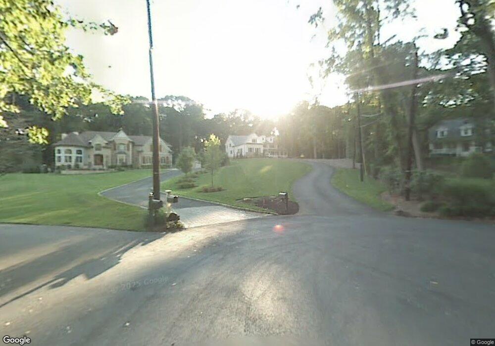
Map
Nearby Homes
- 1231 Rahway Rd
- 1627 Prospect Ave Unit 47
- 1009 Mayfair Way
- 1232 Sunnyfield Ln
- 1224 Sunnyfield Ln
- 19 Ravenswood Ln
- 771 Ravine Rd
- 767 Ravine Rd Unit 73
- 49 Highlander Dr
- 714 Dixie Ln
- 1158 Woodmere Place
- 1505 Charlotte Rd
- 1354 Chetwynd Ave Unit 58
- 1342 Lake St
- 1191 Cooper Rd
- 1358 Marlborough Ave Unit 60
- 1343 Putnam Ave Unit 45
- 19 Highlander Dr
- 1215 Prospect Ave Unit 19
- 939-45 Post Dr
- 16 Pheasant Ln
- 25 Pheasant Ln
- 1011 Locust Ave
- 1015 Locust Ave
- 1007 Locust Ave
- 1007 Locust Ave
- 1005 Locust Ave
- 1656 Prospect Ave Unit 62
- 1664 Prospect Ave Unit 72
- 1666 Prospect Ave
- 1638 Prospect Ave Unit 44
- 1650 Prospect Ave Unit 54
- 1000 Locust Ave
- 17 Pheasant Ln
- 21 Pheasant Ln
- 1648 Prospect Ave
- 1630 Prospect Ave Unit 36
- R1673-77 Prospect Ave
- 8 Pheasant Ln
- 1677 Prospect Ave Unit 1