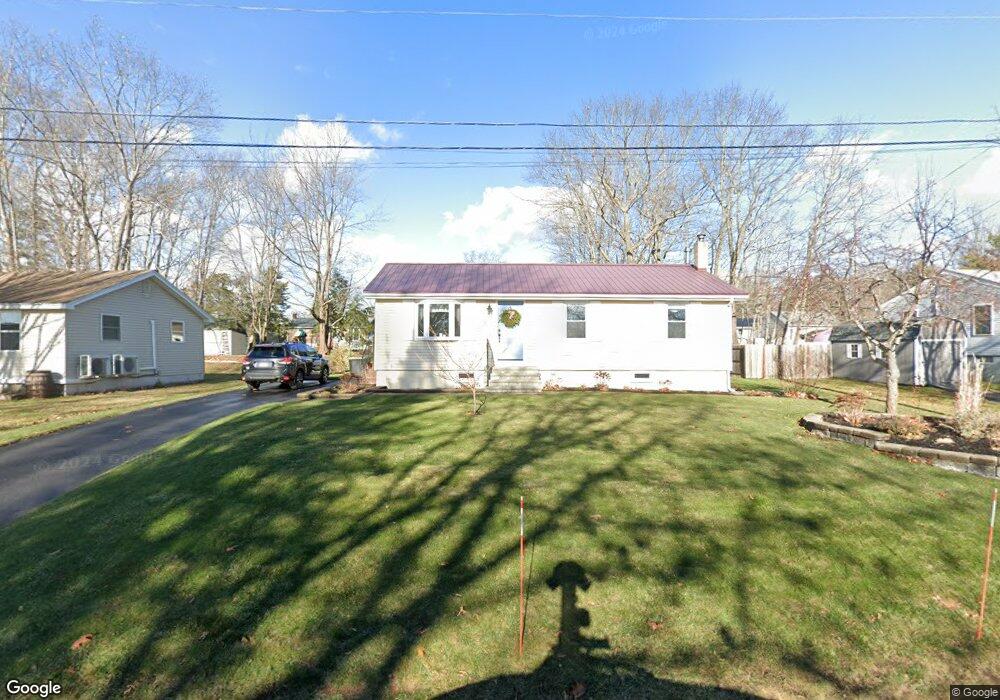
20 Phillip St Scarborough, ME 04074
Estimated Value: $432,905 - $517,000
3
Beds
1
Bath
1,152
Sq Ft
$419/Sq Ft
Est. Value
About This Home
This home is located at 20 Phillip St, Scarborough, ME 04074 and is currently estimated at $482,976, approximately $419 per square foot. 20 Phillip St is a home with nearby schools including Scarborough High School and Cornerstone Baptist Academy.
Create a Home Valuation Report for This Property
The Home Valuation Report is an in-depth analysis detailing your home's value as well as a comparison with similar homes in the area
Home Values in the Area
Average Home Value in this Area
Tax History Compared to Growth
Tax History
| Year | Tax Paid | Tax Assessment Tax Assessment Total Assessment is a certain percentage of the fair market value that is determined by local assessors to be the total taxable value of land and additions on the property. | Land | Improvement |
|---|---|---|---|---|
| 2024 | $4,194 | $383,700 | $139,600 | $244,100 |
| 2023 | $4,080 | $255,500 | $99,300 | $156,200 |
| 2022 | $3,769 | $244,900 | $99,300 | $145,600 |
| 2021 | $3,678 | $244,900 | $99,300 | $145,600 |
| 2020 | $3,639 | $244,900 | $99,300 | $145,600 |
| 2019 | $3,600 | $244,900 | $99,300 | $145,600 |
| 2017 | $3,074 | $186,400 | $102,300 | $84,100 |
| 2016 | $2,967 | $186,400 | $102,300 | $84,100 |
| 2015 | $2,887 | $186,400 | $102,300 | $84,100 |
| 2014 | $2,664 | $186,400 | $102,300 | $84,100 |
| 2013 | -- | $186,400 | $102,300 | $84,100 |
Source: Public Records
Map
Nearby Homes
- 14 Herbert Dr
- 14 Oakdale Dr Unit 14
- 19 Millbrook Rd
- 18 Millbrook Rd
- 11 Westwood Ave
- 46 Pacer Way
- 32 Pacer Way Unit 336
- 8 Ballantyne Dr
- 5 Estate Dr
- 5 Traditional St
- 14 Holbrook Farms Way Unit 1
- 30 Stratton Rd Unit 30
- 29 Stratton Rd
- 9 Evergreen Farms Rd
- 11 Vista Dr
- 1 Cross St Unit 212
- 1 Cross St Unit 213
- 1 Cross St Unit 220
- 1 Cross St Unit 437
- 1 Cross St Unit 445