Estimated Value: $254,000 - $274,000
3
Beds
2
Baths
1,574
Sq Ft
$165/Sq Ft
Est. Value
About This Home
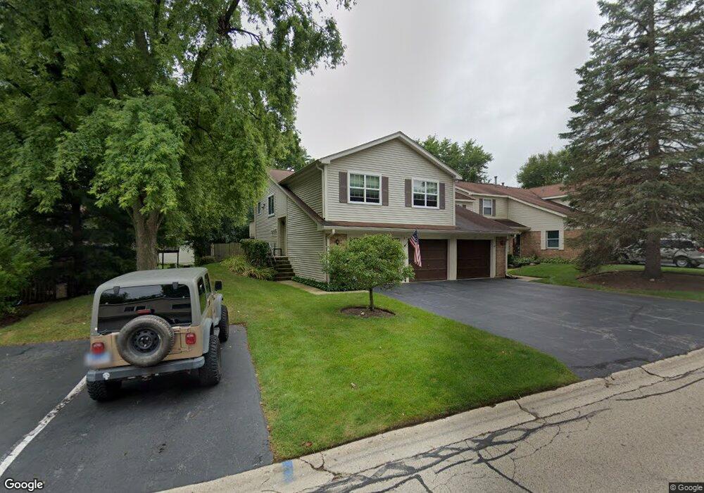
This home is located at 20 Pine Cir Unit 3, Cary, IL 60013 and is currently estimated at $260,197, approximately $165 per square foot. 20 Pine Cir Unit 3 is a home located in McHenry County with nearby schools including Deer Path Elementary School, Cary Jr High School, and Cary-Grove High School.
Ownership History
Date
Name
Owned For
Owner Type
Purchase Details
Closed on
Jun 15, 2004
Sold by
Sutton Vivienne J
Bought by
Rosinski Donna J
Current Estimated Value
Home Financials for this Owner
Home Financials are based on the most recent Mortgage that was taken out on this home.
Original Mortgage
$154,350
Outstanding Balance
$76,311
Interest Rate
6.17%
Mortgage Type
Unknown
Estimated Equity
$183,886
Purchase Details
Closed on
Sep 24, 1999
Sold by
Molitor Margaret Ann
Bought by
Sutton Vivienne
Home Financials for this Owner
Home Financials are based on the most recent Mortgage that was taken out on this home.
Original Mortgage
$68,000
Interest Rate
8.21%
Mortgage Type
Stand Alone First
Purchase Details
Closed on
Sep 30, 1996
Sold by
Mchan Betty L
Bought by
Molitor Margaret Ann
Create a Home Valuation Report for This Property
The Home Valuation Report is an in-depth analysis detailing your home's value as well as a comparison with similar homes in the area
Home Values in the Area
Average Home Value in this Area
Purchase History
| Date | Buyer | Sale Price | Title Company |
|---|---|---|---|
| Rosinski Donna J | $162,500 | Universal Title Services Inc | |
| Sutton Vivienne | $113,500 | Universal Title Services Inc | |
| Molitor Margaret Ann | $111,500 | Universal Title Services Inc |
Source: Public Records
Mortgage History
| Date | Status | Borrower | Loan Amount |
|---|---|---|---|
| Open | Rosinski Donna J | $154,350 | |
| Previous Owner | Sutton Vivienne | $68,000 |
Source: Public Records
Tax History
| Year | Tax Paid | Tax Assessment Tax Assessment Total Assessment is a certain percentage of the fair market value that is determined by local assessors to be the total taxable value of land and additions on the property. | Land | Improvement |
|---|---|---|---|---|
| 2024 | $5,577 | $74,224 | $12,923 | $61,301 |
| 2023 | $5,404 | $66,384 | $11,558 | $54,826 |
| 2022 | $4,311 | $52,043 | $10,431 | $41,612 |
| 2021 | $4,088 | $48,485 | $9,718 | $38,767 |
| 2020 | $3,956 | $46,769 | $9,374 | $37,395 |
| 2019 | $3,864 | $44,764 | $8,972 | $35,792 |
| 2018 | $3,706 | $42,225 | $8,288 | $33,937 |
| 2017 | $3,615 | $39,779 | $7,808 | $31,971 |
| 2016 | $3,565 | $37,309 | $7,323 | $29,986 |
| 2013 | -- | $39,950 | $6,831 | $33,119 |
Source: Public Records
Map
Nearby Homes
- 717 Wellington Ln
- 1161 Amber Dr
- 134 Bright Oaks Cir
- 12 Oak Valley Dr
- 317 Sterling Cir
- 0 Kaper Dr
- 2819 Sun Valley Dr
- 3005 Green Meadow Ln
- 3712 3 Oaks Rd
- 1163 E Danbury Dr
- 349 Park Ave
- LOT 02 Three Oaks Rd
- 6418 Carrie Ct
- 6305 Robert Rd
- Lots 2,3,4 Northwest Hwy
- 508 Crest Dr
- 709 Hillcrest Ln
- 324 New Haven Dr
- 3408 Royal Woods Dr
- 258 Stonegate Rd
Your Personal Tour Guide
Ask me questions while you tour the home.