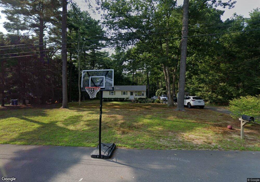
20 Pinecrest Dr Danielson, CT 06239
Estimated Value: $280,000 - $315,000
3
Beds
1
Bath
960
Sq Ft
$311/Sq Ft
Est. Value
About This Home
This home is located at 20 Pinecrest Dr, Danielson, CT 06239 and is currently estimated at $298,123, approximately $310 per square foot. 20 Pinecrest Dr is a home with nearby schools including Plainfield Memorial School, Plainfield Central Middle School, and Plainfield High School.
Ownership History
Date
Name
Owned For
Owner Type
Purchase Details
Closed on
May 24, 2023
Sold by
Plainfield Town Of
Bought by
Equity Tco Cust
Current Estimated Value
Purchase Details
Closed on
Oct 29, 1991
Sold by
C & G Inv
Bought by
Smith Richard S and Smith Beverly A
Home Financials for this Owner
Home Financials are based on the most recent Mortgage that was taken out on this home.
Original Mortgage
$94,000
Interest Rate
8.75%
Mortgage Type
Purchase Money Mortgage
Create a Home Valuation Report for This Property
The Home Valuation Report is an in-depth analysis detailing your home's value as well as a comparison with similar homes in the area
Home Values in the Area
Average Home Value in this Area
Purchase History
| Date | Buyer | Sale Price | Title Company |
|---|---|---|---|
| Equity Tco Cust | $142,000 | None Available | |
| Equity Tco Cust | $142,000 | None Available | |
| Equity Tco Cust | $142,000 | None Available | |
| Smith Richard S | $94,000 | -- | |
| Smith Richard S | $94,000 | -- |
Source: Public Records
Mortgage History
| Date | Status | Borrower | Loan Amount |
|---|---|---|---|
| Previous Owner | Smith Richard S | $94,000 | |
| Previous Owner | Smith Richard S | $88,000 |
Source: Public Records
Tax History
| Year | Tax Paid | Tax Assessment Tax Assessment Total Assessment is a certain percentage of the fair market value that is determined by local assessors to be the total taxable value of land and additions on the property. | Land | Improvement |
|---|---|---|---|---|
| 2025 | $3,417 | $143,230 | $32,550 | $110,680 |
| 2024 | $3,352 | $143,230 | $32,550 | $110,680 |
| 2023 | $3,264 | $143,230 | $32,550 | $110,680 |
| 2022 | $4,045 | $87,870 | $28,140 | $59,730 |
| 2021 | $2,691 | $87,870 | $28,140 | $59,730 |
| 2020 | $2,691 | $87,870 | $28,140 | $59,730 |
| 2019 | $2,691 | $87,870 | $28,140 | $59,730 |
| 2018 | $2,659 | $87,870 | $28,140 | $59,730 |
| 2017 | $2,697 | $83,700 | $23,700 | $60,000 |
| 2016 | $2,624 | $83,700 | $23,700 | $60,000 |
| 2015 | $2,566 | $83,700 | $23,700 | $60,000 |
| 2014 | $2,566 | $83,700 | $23,700 | $60,000 |
Source: Public Records
Map
Nearby Homes
- 22 Jolley Rd
- 33 Junior Ave
- 365-367 Putnam Rd
- 0 Wauregan Rd NE Unit 24143170
- 46-52 Wauregan Rd
- 101 All Hallows Rd
- 30 S Walnut St
- 79 All Hallows Rd
- 44-46 S Chestnut St
- 263 Christian Hill Rd
- 193 Christian Hill Rd
- 247 Green Hollow Rd
- 169 Moosup Pond Rd
- 170 Putnam Rd
- 277 Moosup Pond Rd
- 0 Green Hollow Rd
- 251 Wauregan Rd
- 15 Salmon Dr
- 279 Gorman Rd
- 18 Bob White Way
Your Personal Tour Guide
Ask me questions while you tour the home.