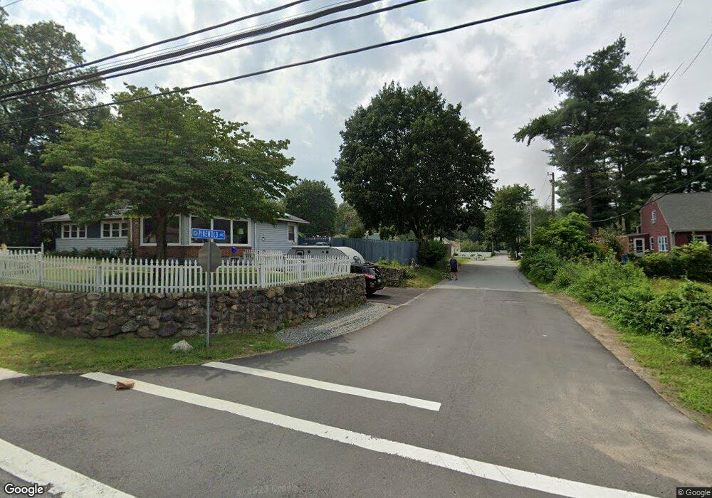
20 Pinewold Ave Tewksbury, MA 01876
Estimated Value: $577,730 - $649,000
3
Beds
1
Bath
1,304
Sq Ft
$466/Sq Ft
Est. Value
About This Home
This home is located at 20 Pinewold Ave, Tewksbury, MA 01876 and is currently estimated at $607,683, approximately $466 per square foot. 20 Pinewold Ave is a home located in Middlesex County with nearby schools including Heath-Brook Elementary School, John W. Wynn Middle School, and John F. Ryan Elementary School.
Ownership History
Date
Name
Owned For
Owner Type
Purchase Details
Closed on
May 31, 2000
Sold by
Killion Joseph T and Killion Mary Jo A
Bought by
Trulli William J and Landry Karen
Current Estimated Value
Home Financials for this Owner
Home Financials are based on the most recent Mortgage that was taken out on this home.
Original Mortgage
$160,000
Interest Rate
8.14%
Mortgage Type
Purchase Money Mortgage
Create a Home Valuation Report for This Property
The Home Valuation Report is an in-depth analysis detailing your home's value as well as a comparison with similar homes in the area
Home Values in the Area
Average Home Value in this Area
Purchase History
| Date | Buyer | Sale Price | Title Company |
|---|---|---|---|
| Trulli William J | $188,450 | -- |
Source: Public Records
Mortgage History
| Date | Status | Borrower | Loan Amount |
|---|---|---|---|
| Open | Trulli William J | $30,860 | |
| Open | Trulli William J | $160,000 | |
| Closed | Trulli William J | $160,000 |
Source: Public Records
Tax History Compared to Growth
Tax History
| Year | Tax Paid | Tax Assessment Tax Assessment Total Assessment is a certain percentage of the fair market value that is determined by local assessors to be the total taxable value of land and additions on the property. | Land | Improvement |
|---|---|---|---|---|
| 2025 | $5,819 | $440,200 | $269,500 | $170,700 |
| 2024 | $5,537 | $413,500 | $256,700 | $156,800 |
| 2023 | $5,420 | $384,400 | $233,400 | $151,000 |
| 2022 | $5,188 | $341,300 | $203,000 | $138,300 |
| 2021 | $8,654 | $311,200 | $184,500 | $126,700 |
| 2020 | $4,714 | $295,200 | $175,700 | $119,500 |
| 2019 | $4,426 | $279,400 | $167,300 | $112,100 |
| 2018 | $7,374 | $256,900 | $167,300 | $89,600 |
| 2017 | $3,975 | $243,700 | $167,300 | $76,400 |
| 2016 | $3,870 | $236,700 | $167,300 | $69,400 |
| 2015 | $3,680 | $224,800 | $162,300 | $62,500 |
| 2014 | $3,525 | $218,800 | $162,300 | $56,500 |
Source: Public Records
Map
Nearby Homes
- 7 Wamesit Rd
- 16 Eagle Dr
- 107 Eagle Dr Unit 107
- 93 Fairway Dr
- 127 Caddy Ct
- 640 South St
- 610 South St
- 261 Apache Way
- 32 Decarolis Dr
- 71 Apache Way Unit 71
- 14 Hinckley Rd
- 40 Nichols St
- 20 Oakland Ave
- 22 Carleton Rd
- 109 Apache Way
- 6 Stonebury Way Unit 6
- 70 Ronald Dr
- 142 Patrick Rd
- 29 Oregon Rd
- 111 Patrick Rd Unit 111
- 756 Shawsheen St
- 28 Pinewold Ave
- 15 Pinewold Ave
- 11 Pinewold Ave
- 732 Shawsheen St
- 10 Wamesit Rd
- 760 Shawsheen St
- 27 Pinewold Ave
- 32 Pinewold Ave
- 1 Brookfield Rd
- 724 Shawsheen St
- 29 Pinewold Ave
- 745 Shawsheen St
- 737 Shawsheen St
- 5 Brookfield Rd
- 43 Wamesit Rd
- 753 Shawsheen St
- 770 Shawsheen St
- 729 Shawsheen St
- 3 Brookfield Rd