Estimated Value: $375,000 - $384,000
--
Bed
--
Bath
1,375
Sq Ft
$276/Sq Ft
Est. Value
About This Home
This home is located at 20 Pioneer Ct, Ewing, NJ 08628 and is currently estimated at $379,271, approximately $275 per square foot. 20 Pioneer Ct is a home located in Mercer County with nearby schools including Ewing High School, Trenton Stem-To-Civics Charter School, and Christina Seix Academy.
Ownership History
Date
Name
Owned For
Owner Type
Purchase Details
Closed on
Nov 15, 2006
Sold by
Smith Richard
Bought by
Gilliard Colleen
Current Estimated Value
Home Financials for this Owner
Home Financials are based on the most recent Mortgage that was taken out on this home.
Original Mortgage
$205,600
Outstanding Balance
$122,433
Interest Rate
6.33%
Estimated Equity
$256,838
Purchase Details
Closed on
Sep 28, 2001
Sold by
Sgro Hiseog
Bought by
Smith Richard and Smith Virginia
Home Financials for this Owner
Home Financials are based on the most recent Mortgage that was taken out on this home.
Original Mortgage
$132,000
Interest Rate
6.93%
Purchase Details
Closed on
Jun 27, 1988
Sold by
South Fork At Ewing
Bought by
Sgro Joseph C and Sgro Frances E
Create a Home Valuation Report for This Property
The Home Valuation Report is an in-depth analysis detailing your home's value as well as a comparison with similar homes in the area
Home Values in the Area
Average Home Value in this Area
Purchase History
| Date | Buyer | Sale Price | Title Company |
|---|---|---|---|
| Gilliard Colleen | $257,000 | -- | |
| Smith Richard | $175,000 | -- | |
| Sgro Joseph C | $158,400 | -- | |
| Sgro Hiseog C | $158,400 | -- |
Source: Public Records
Mortgage History
| Date | Status | Borrower | Loan Amount |
|---|---|---|---|
| Open | Gilliard Colleen | $205,600 | |
| Previous Owner | Smith Richard | $132,000 |
Source: Public Records
Tax History Compared to Growth
Tax History
| Year | Tax Paid | Tax Assessment Tax Assessment Total Assessment is a certain percentage of the fair market value that is determined by local assessors to be the total taxable value of land and additions on the property. | Land | Improvement |
|---|---|---|---|---|
| 2025 | $9,270 | $235,700 | $55,000 | $180,700 |
| 2024 | $8,714 | $235,700 | $55,000 | $180,700 |
| 2023 | $8,714 | $235,700 | $55,000 | $180,700 |
| 2022 | $8,478 | $235,700 | $55,000 | $180,700 |
| 2021 | $8,271 | $235,700 | $55,000 | $180,700 |
| 2020 | $7,167 | $207,200 | $55,000 | $152,200 |
| 2019 | $6,981 | $207,200 | $55,000 | $152,200 |
| 2018 | $6,523 | $123,500 | $36,500 | $87,000 |
| 2017 | $6,675 | $123,500 | $36,500 | $87,000 |
| 2016 | $6,585 | $123,500 | $36,500 | $87,000 |
| 2015 | $1,920 | $36,500 | $36,500 | $0 |
| 2014 | $1,915 | $36,500 | $36,500 | $0 |
Source: Public Records
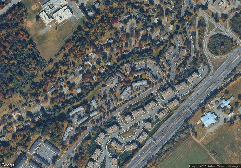
Map
Nearby Homes
- 18 Pioneer Ct
- 14 Revere Ct
- 2 Devonshire Ct
- 8 Beckett Ct
- 28 Delaware Ave
- 20 Delaware Ave
- 8 High Acres Dr
- 86 Jacobs Creek Rd
- 182 W Upper Ferry Rd
- 202 W Upper Ferry Rd
- 1048 River Rd
- 18 Forrest Blend Dr
- 18 Todd Ridge Rd
- 6 Michelle Ct
- 15 Decou Ave
- 21 Decou Ave
- 230 Jacobs Creek Rd
- 1155 Mount Eyre Rd
- 928 Taylorsville Rd
- 4 Riverview Dr