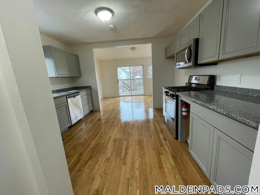
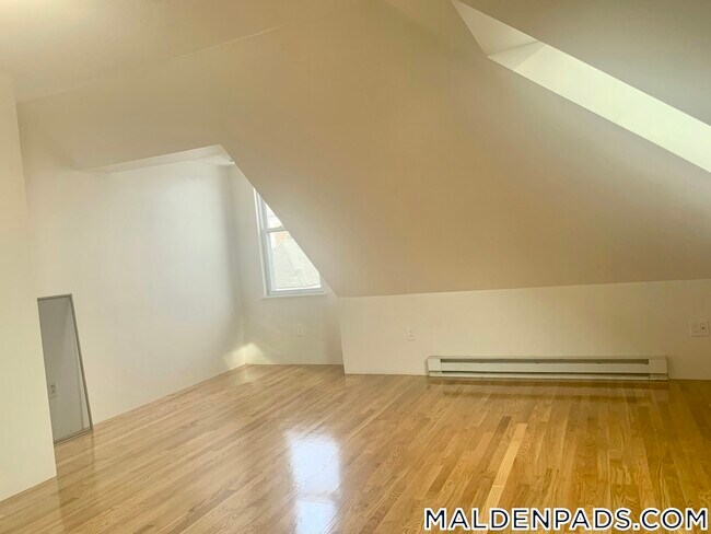
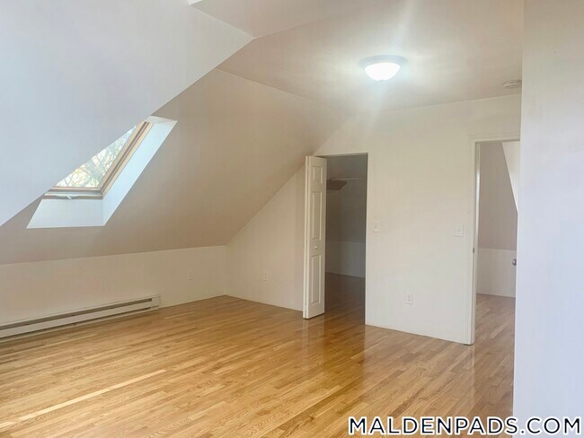
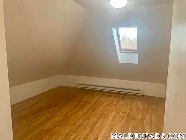
20 Porter St Unit 2 Malden, MA 02148
North Faulkner Neighborhood
4
Beds
1
Bath
--
Sq Ft
5,009
Sq Ft Lot
About This Home
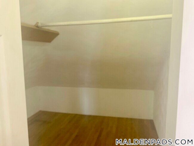
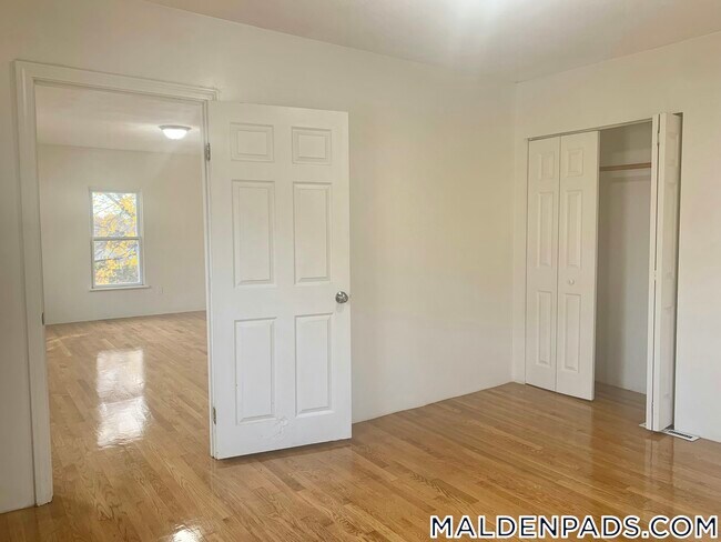
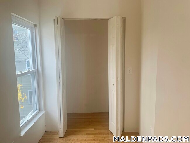
4 Bed 1 Bath on Porter Street Malden
Boston Pads is not responsible for any errors, omissions and change in price, prior sale, rent and withdrawal without notice. All information from sources reliable but not guaranteed. Photographs, videos, description and information about the properties reflect conditions at the time the information was obtained. We are pledged to this letter and spirit of U.S. policy for the achievement of equal housing opportunity throughout the Nation. We encourage and support an affirmative advertising and marketing program in which there are no barriers to obtaining housing because of race, color, religion, sex, handicap, familial status, or national origin. ListingID = 3828893
Listing Provided By

Map
Nearby Homes
- 19-21 Wolcott St
- 58 Clark St
- 11 Starbird St
- 30-32 Starbird St
- 30 Franklin St Unit 105
- 94 Mount Vernon St Unit 94
- 241 Mountain Ave
- 90 Pierce St
- 45 Richardson St
- 30 Wallace Cir
- 3 Nira St
- 58 Almont St Unit 3
- 141 Pierce St Unit 25
- 11-13 Hudson St
- 43 Park St
- 37-39 Park St
- 56 Rocky Nook Unit 56
- 47 Rocky Nook Unit 47
- 23 Orient St
- 452 Salem St
- 51 Clark St Unit 2
- 18 Kenilworth St Unit 1
- 34 Page St Unit 1
- 9 Knollin St Unit 1
- 11 Knollin St Unit 2
- 11 Knollin St Unit 2
- 55 Bryant St
- 102 Salem St Unit 2R
- 200 Mountain Ave Unit 52
- 200 Mountain Ave
- 1015 Eastern Unit 2
- 16 Holden St
- 45 Almont St Unit 2
- 16 Hazelwood St Unit 1
- 428 Salem St Unit 1
- 46 Crestview Dr Unit 46
- 52 Crescent Ave Unit 2
- 76 Granville Ave Unit A
- 180 Eastern Ave
- 690-692 Main St Unit 4