Estimated Value: $272,000 - $330,000
2
Beds
1
Bath
1,304
Sq Ft
$228/Sq Ft
Est. Value
About This Home
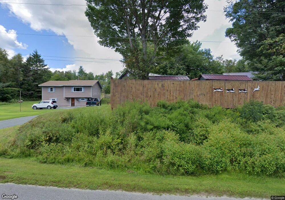
This home is located at 20 Potter Rd, Stark, NH 03582 and is currently estimated at $297,771, approximately $228 per square foot. 20 Potter Rd is a home located in Coos County.
Create a Home Valuation Report for This Property
The Home Valuation Report is an in-depth analysis detailing your home's value as well as a comparison with similar homes in the area
Tax History
| Year | Tax Paid | Tax Assessment Tax Assessment Total Assessment is a certain percentage of the fair market value that is determined by local assessors to be the total taxable value of land and additions on the property. | Land | Improvement |
|---|---|---|---|---|
| 2025 | $3,617 | $306,300 | $94,300 | $212,000 |
| 2024 | $3,326 | $306,300 | $94,300 | $212,000 |
| 2023 | $2,731 | $131,800 | $39,100 | $92,700 |
| 2022 | $2,156 | $131,800 | $39,100 | $92,700 |
| 2021 | $2,625 | $131,800 | $39,100 | $92,700 |
| 2020 | $2,372 | $131,800 | $39,100 | $92,700 |
| 2019 | $2,382 | $131,800 | $39,100 | $92,700 |
| 2018 | $2,170 | $120,800 | $28,500 | $92,300 |
| 2017 | $2,197 | $120,800 | $28,500 | $92,300 |
| 2016 | $2,104 | $120,800 | $28,500 | $92,300 |
| 2015 | $2,055 | $120,800 | $28,500 | $92,300 |
| 2014 | $2,112 | $120,800 | $28,500 | $92,300 |
| 2013 | $2,171 | $124,200 | $28,900 | $95,300 |
Source: Public Records
Map
Nearby Homes
- 238 Northside Rd
- 388 Percy Rd
- 338 Percy Rd
- 13 Hillside Ave
- 84 Hillside Ave
- 15 Rich St
- 14 Odell Park
- 0 Bell Hill Rd Unit 29.22
- 0 Town Line Rd Unit 1 and 33 4953131
- Lot 10 US Rte 3
- 131 Mountain View Rd
- 553 Lancaster Rd
- 114 US Route 3
- 7680 Vermont 102
- 147 U S 3
- 3 Chellie Ln
- 25 Sullivan Rd
- 58 Hollow Rd Unit M239 L021
- 441 Bog Rd
- 36 Longview Dr
Your Personal Tour Guide
Ask me questions while you tour the home.