20 Preservation Way Westford, MA 01886
Estimated Value: $1,451,000 - $1,528,000
4
Beds
5
Baths
4,231
Sq Ft
$354/Sq Ft
Est. Value
About This Home
This home is located at 20 Preservation Way, Westford, MA 01886 and is currently estimated at $1,499,205, approximately $354 per square foot. 20 Preservation Way is a home located in Middlesex County with nearby schools including Col John Robinson, John A. Crisafulli Elementary School, and Blanchard Middle School.
Ownership History
Date
Name
Owned For
Owner Type
Purchase Details
Closed on
Jan 11, 2005
Sold by
Mk Rt and Scarano Robert G
Bought by
Preservation Grp Llc
Current Estimated Value
Purchase Details
Closed on
Mar 5, 1996
Sold by
Sullivan Barry J and Sullivan Kathleen
Bought by
Nicoletta Rt and Nicoletta Stephen
Home Financials for this Owner
Home Financials are based on the most recent Mortgage that was taken out on this home.
Original Mortgage
$25,000
Interest Rate
7.02%
Mortgage Type
Purchase Money Mortgage
Create a Home Valuation Report for This Property
The Home Valuation Report is an in-depth analysis detailing your home's value as well as a comparison with similar homes in the area
Home Values in the Area
Average Home Value in this Area
Purchase History
| Date | Buyer | Sale Price | Title Company |
|---|---|---|---|
| Preservation Grp Llc | $100,000 | -- | |
| Nicoletta Rt | $175,000 | -- |
Source: Public Records
Mortgage History
| Date | Status | Borrower | Loan Amount |
|---|---|---|---|
| Previous Owner | Nicoletta Rt | $25,000 |
Source: Public Records
Tax History Compared to Growth
Tax History
| Year | Tax Paid | Tax Assessment Tax Assessment Total Assessment is a certain percentage of the fair market value that is determined by local assessors to be the total taxable value of land and additions on the property. | Land | Improvement |
|---|---|---|---|---|
| 2025 | $21,079 | $1,530,800 | $392,800 | $1,138,000 |
| 2024 | $21,079 | $1,530,800 | $392,800 | $1,138,000 |
| 2023 | $19,403 | $1,314,600 | $375,900 | $938,700 |
| 2022 | $19,963 | $1,238,400 | $332,900 | $905,500 |
| 2021 | $18,176 | $1,092,300 | $332,900 | $759,400 |
| 2020 | $17,899 | $1,096,100 | $332,900 | $763,200 |
| 2019 | $21,362 | $1,043,500 | $332,900 | $710,600 |
| 2018 | $16,664 | $1,029,900 | $322,900 | $707,000 |
| 2017 | $15,517 | $945,600 | $322,900 | $622,700 |
| 2016 | $16,202 | $994,000 | $309,500 | $684,500 |
| 2015 | $16,031 | $987,100 | $299,400 | $687,700 |
| 2014 | $15,851 | $954,900 | $290,200 | $664,700 |
Source: Public Records
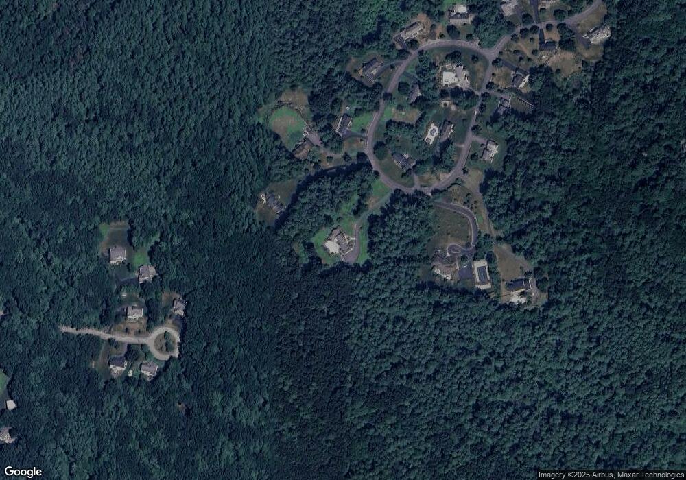
Map
Nearby Homes
- 14 Banbury Dr
- 22 Carlisle Rd
- 17 Carlisle Rd
- 122 Carlisle Rd
- 4 Powers Rd
- 14 Fieldstone Dr
- 92 Jimney Dr
- 1 Fieldstone Dr
- 1 Courtney Ln
- 7 Little Bear Hill Rd
- 20 Dean Ln Unit 20
- 25 Laurel Rd
- 601 Old Stone Brook
- 511 Tumbling Hawk Unit 511
- 522 Tumbling Hawk
- 1 Thistle Ln
- 422 Great Elm Way
- 4 Casie Ln
- 150 Goldsmith St
- 445 Old Stone Brook
- 24 Preservation Way
- 15 Preservation Way
- 16 Preservation Way
- 26 Preservation Way
- 17 Preservation Way
- 13 Preservation Way
- 12 Trailside Way
- 28 Preservation Way
- 12 Preservation Way
- 14 Preservation Way
- 10 Trailside Way
- 10 Preservation Way
- 8 Trailside Way
- 11 Preservation Way
- 30 Preservation Way
- 6 Trailside Way
- 7 Trailside Way
- 7 Trailside Way Unit lot 7
- 5 Trailside Way
- 32 Preservation Way