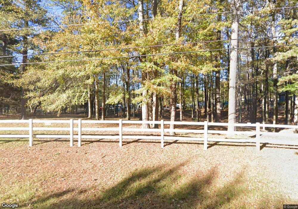
20 Price Dr W Locust Grove, GA 30248
Estimated Value: $124,000 - $478,000
4
Beds
3
Baths
2,292
Sq Ft
$106/Sq Ft
Est. Value
About This Home
This home is located at 20 Price Dr W, Locust Grove, GA 30248 and is currently estimated at $242,333, approximately $105 per square foot. 20 Price Dr W is a home located in Henry County with nearby schools including Unity Grove Elementary School, Locust Grove Middle School, and Locust Grove High School.
Ownership History
Date
Name
Owned For
Owner Type
Purchase Details
Closed on
Feb 15, 2024
Sold by
Flynn Justin L
Bought by
Flynn Estate Llc
Current Estimated Value
Purchase Details
Closed on
Jun 30, 2021
Sold by
Flynn Justin
Bought by
Flynn Justin Liegh and Flynn Misty Michelle
Purchase Details
Closed on
Mar 4, 2020
Sold by
Mcmickle Louise F
Bought by
Flynn Justin
Home Financials for this Owner
Home Financials are based on the most recent Mortgage that was taken out on this home.
Original Mortgage
$284,750
Interest Rate
3.4%
Mortgage Type
New Conventional
Purchase Details
Closed on
Dec 6, 2019
Sold by
Mcmickle Wayne L
Bought by
Mcmickle Louise F
Create a Home Valuation Report for This Property
The Home Valuation Report is an in-depth analysis detailing your home's value as well as a comparison with similar homes in the area
Home Values in the Area
Average Home Value in this Area
Purchase History
| Date | Buyer | Sale Price | Title Company |
|---|---|---|---|
| Flynn Estate Llc | -- | -- | |
| Flynn Justin Liegh | -- | -- | |
| Flynn Justin | $335,000 | -- | |
| Mcmickle Louise F | -- | -- |
Source: Public Records
Mortgage History
| Date | Status | Borrower | Loan Amount |
|---|---|---|---|
| Previous Owner | Flynn Justin | $284,750 |
Source: Public Records
Tax History Compared to Growth
Tax History
| Year | Tax Paid | Tax Assessment Tax Assessment Total Assessment is a certain percentage of the fair market value that is determined by local assessors to be the total taxable value of land and additions on the property. | Land | Improvement |
|---|---|---|---|---|
| 2025 | $5,770 | $206,776 | $23,560 | $183,216 |
| 2024 | -- | $179,480 | $21,360 | $158,120 |
| 2023 | $5,353 | $177,480 | $20,600 | $156,880 |
| 2022 | $5,471 | $162,600 | $19,120 | $143,480 |
| 2021 | $4,641 | $131,360 | $16,560 | $114,800 |
| 2020 | $4,519 | $116,760 | $15,680 | $101,080 |
| 2019 | $3,904 | $100,720 | $14,920 | $85,800 |
| 2018 | $0 | $96,560 | $13,880 | $82,680 |
| 2016 | $1,137 | $95,840 | $12,400 | $83,440 |
Source: Public Records
Map
Nearby Homes
- 75 Price Dr W
- 104 Waratah Dr
- 390 Coan Dr
- 1579 S Bethany Rd
- 825 S Bethany Rd
- 560 Coan Dr
- 943 Colvin Dr
- 678 Seabolt Rd
- 705 Seabolt Rd
- 340 Colvin Dr
- 435 Rabbit Run
- 201 Nina Cir
- 3305 Hancock Point
- 3227 Puritan Way
- 1000 Coan Dr
- 5009 Yankee Doodle Dr
- 8008 Revere Dr Unit 1
- 604 Onieda Dr
- 521 Deadwood Trail
- 167 Classica Dr
- 20 Price Dr E
- 1277 S Bethany Rd
- 30 Price Dr W
- 8 Price Dr E
- 1151 S Bethany Rd
- 25 Price Dr W
- 0 Price Dr E Unit 7162951
- 0 Price Dr E Unit 7103524
- 0 Price Dr E Unit 8310346
- 0 Price Dr E Unit 8189760
- 0 Price Dr E Unit 8527849
- 54 Price Dr E
- 64 Price Dr E
- 24 Price Dr E Unit 1
- 44 Price Dr E Unit 2
- 54 Price Dr E Unit 3
- 1216 S Bethany Rd
- 1196 S Bethany Rd
- 10 Price Dr E
- 40 Price Dr W
