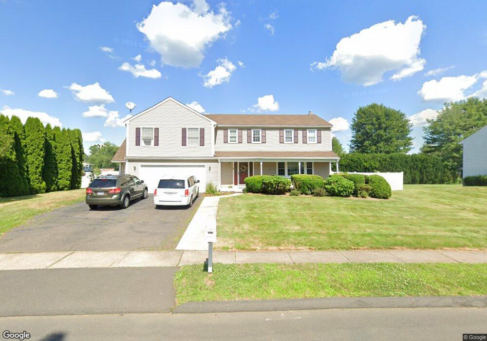
20 Quail Dr Rocky Hill, CT 06067
Estimated Value: $567,000 - $735,000
5
Beds
4
Baths
2,729
Sq Ft
$238/Sq Ft
Est. Value
About This Home
This home is located at 20 Quail Dr, Rocky Hill, CT 06067 and is currently estimated at $649,140, approximately $237 per square foot. 20 Quail Dr is a home located in Hartford County with nearby schools including Albert D. Griswold Middle School, Rocky Hill High School, and Corpus Christi School.
Ownership History
Date
Name
Owned For
Owner Type
Purchase Details
Closed on
Jul 29, 1998
Sold by
Ecker Eunice F
Bought by
Destefanis Kenneth A and Destefanis Linda B
Current Estimated Value
Home Financials for this Owner
Home Financials are based on the most recent Mortgage that was taken out on this home.
Original Mortgage
$176,600
Interest Rate
6.92%
Mortgage Type
Unknown
Create a Home Valuation Report for This Property
The Home Valuation Report is an in-depth analysis detailing your home's value as well as a comparison with similar homes in the area
Home Values in the Area
Average Home Value in this Area
Purchase History
| Date | Buyer | Sale Price | Title Company |
|---|---|---|---|
| Destefanis Kenneth A | $220,750 | -- | |
| Destefanis Kenneth A | $220,750 | -- |
Source: Public Records
Mortgage History
| Date | Status | Borrower | Loan Amount |
|---|---|---|---|
| Closed | Destefanis Kenneth A | $200,000 | |
| Closed | Destefanis Kenneth A | $205,000 | |
| Closed | Destefanis Kenneth A | $176,600 |
Source: Public Records
Tax History Compared to Growth
Tax History
| Year | Tax Paid | Tax Assessment Tax Assessment Total Assessment is a certain percentage of the fair market value that is determined by local assessors to be the total taxable value of land and additions on the property. | Land | Improvement |
|---|---|---|---|---|
| 2025 | $11,016 | $364,280 | $86,520 | $277,760 |
| 2024 | $10,626 | $364,280 | $86,520 | $277,760 |
| 2023 | $9,293 | $258,720 | $73,710 | $185,010 |
| 2022 | $8,931 | $258,720 | $73,710 | $185,010 |
| 2021 | $8,822 | $258,720 | $73,710 | $185,010 |
| 2020 | $8,693 | $258,720 | $73,710 | $185,010 |
| 2019 | $8,408 | $258,720 | $73,710 | $185,010 |
| 2018 | $7,974 | $246,120 | $66,360 | $179,760 |
| 2017 | $7,777 | $246,120 | $66,360 | $179,760 |
| 2016 | $7,630 | $246,120 | $66,360 | $179,760 |
| 2015 | $7,310 | $246,120 | $66,360 | $179,760 |
| 2014 | $7,310 | $246,120 | $66,360 | $179,760 |
Source: Public Records
Map
Nearby Homes
- 4 Lexington Ct
- 37 Deming Rd
- 1610 Silas Deane Hwy
- 32 Wright Rd
- 59 Chapin Ave
- 89 Gilbert Ave
- 28 Colonial Dr Unit D
- 12 Colonial Dr Unit C
- 18 Colonial Dr Unit A
- 211 Fairlane Dr
- 650 Maple St
- 34 Clayton Dr
- 887 Cloverdale Cir
- 71 Joiners Rd
- 45 Sandy Dr
- 52 Sandy Dr
- 40 Grimes Rd
- 41 Maxwell Dr
- 268 Fox Hill Rd
- 36 Copper Beech Dr