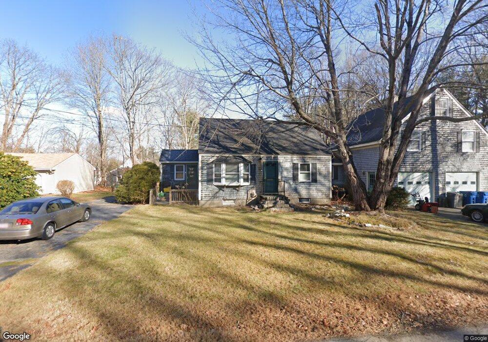
20 Range St Portland, ME 04103
Riverton NeighborhoodEstimated Value: $544,605 - $689,000
4
Beds
2
Baths
1,629
Sq Ft
$372/Sq Ft
Est. Value
About This Home
This home is located at 20 Range St, Portland, ME 04103 and is currently estimated at $605,651, approximately $371 per square foot. 20 Range St is a home located in Cumberland County with nearby schools including Gerald E. Talbot Community School, Lincoln Middle School, and St. Brigid School.
Create a Home Valuation Report for This Property
The Home Valuation Report is an in-depth analysis detailing your home's value as well as a comparison with similar homes in the area
Home Values in the Area
Average Home Value in this Area
Tax History Compared to Growth
Tax History
| Year | Tax Paid | Tax Assessment Tax Assessment Total Assessment is a certain percentage of the fair market value that is determined by local assessors to be the total taxable value of land and additions on the property. | Land | Improvement |
|---|---|---|---|---|
| 2024 | $5,819 | $387,700 | $67,500 | $320,200 |
| 2023 | $5,587 | $387,700 | $67,500 | $320,200 |
| 2022 | $5,277 | $387,700 | $67,500 | $320,200 |
| 2021 | $5,036 | $387,700 | $67,500 | $320,200 |
| 2020 | $4,981 | $213,700 | $67,500 | $146,200 |
| 2019 | $4,981 | $213,700 | $67,500 | $146,200 |
| 2018 | $4,804 | $213,700 | $67,500 | $146,200 |
| 2017 | $4,627 | $213,700 | $67,500 | $146,200 |
| 2016 | $4,511 | $213,700 | $67,500 | $146,200 |
| 2015 | $4,409 | $213,700 | $67,500 | $146,200 |
| 2014 | $4,274 | $213,700 | $67,500 | $146,200 |
Source: Public Records
Map
Nearby Homes
- 1435 Forest Ave
- 88 Verrill St
- 40 Belfort St
- 49 Belfort St
- 97 Warren Ave
- 90 Farragut St
- 1638 Forest Ave
- 95 Lane Ave
- 74 Chesley Ave
- 1 Farnham St
- Lot TBD Epping St
- 106 Euclid Ave
- 75 Mcauley Way Unit 307
- 75 Mcauley Way Unit 405
- 75 Mcauley Way Unit 206
- 75 Mcauley Way Unit 401
- 75 Mcauley Way Unit 207
- 75 Mcauley Way Unit 502
- 75 Mcauley Way Unit 304
- 75 Mcauley Way Unit 301