20 Red Rim Rd Unit Squaw Creek Lander, WY 82520
Estimated Value: $622,893 - $754,000
3
Beds
2
Baths
1,585
Sq Ft
$436/Sq Ft
Est. Value
About This Home
This home is located at 20 Red Rim Rd Unit Squaw Creek, Lander, WY 82520 and is currently estimated at $690,298, approximately $435 per square foot. 20 Red Rim Rd Unit Squaw Creek is a home located in Fremont County with nearby schools including Lander Valley High School.
Ownership History
Date
Name
Owned For
Owner Type
Purchase Details
Closed on
Mar 8, 2016
Sold by
Peters Joan A
Bought by
Lunchsinger James C and Lunchsinger Sharon E
Current Estimated Value
Home Financials for this Owner
Home Financials are based on the most recent Mortgage that was taken out on this home.
Original Mortgage
$164,250
Outstanding Balance
$130,003
Interest Rate
3.65%
Mortgage Type
New Conventional
Estimated Equity
$560,295
Create a Home Valuation Report for This Property
The Home Valuation Report is an in-depth analysis detailing your home's value as well as a comparison with similar homes in the area
Home Values in the Area
Average Home Value in this Area
Purchase History
| Date | Buyer | Sale Price | Title Company |
|---|---|---|---|
| Lunchsinger James C | -- | First American Title Ins Co |
Source: Public Records
Mortgage History
| Date | Status | Borrower | Loan Amount |
|---|---|---|---|
| Open | Lunchsinger James C | $164,250 |
Source: Public Records
Tax History Compared to Growth
Tax History
| Year | Tax Paid | Tax Assessment Tax Assessment Total Assessment is a certain percentage of the fair market value that is determined by local assessors to be the total taxable value of land and additions on the property. | Land | Improvement |
|---|---|---|---|---|
| 2025 | $3,113 | $33,713 | $6,014 | $27,699 |
| 2024 | $3,113 | $43,119 | $8,018 | $35,101 |
| 2023 | $2,972 | $41,526 | $8,018 | $33,508 |
| 2022 | $2,519 | $36,023 | $8,018 | $28,005 |
| 2021 | $2,190 | $30,246 | $8,018 | $22,228 |
| 2020 | $2,374 | $32,857 | $7,888 | $24,969 |
| 2019 | $2,295 | $31,215 | $7,888 | $23,327 |
| 2018 | $2,326 | $31,274 | $7,888 | $23,386 |
| 2017 | $2,285 | $30,646 | $7,888 | $22,758 |
| 2016 | $1,820 | $27,446 | $7,070 | $20,376 |
| 2015 | $1,739 | $26,634 | $8,315 | $18,319 |
| 2014 | $1,939 | $29,411 | $8,315 | $21,096 |
Source: Public Records
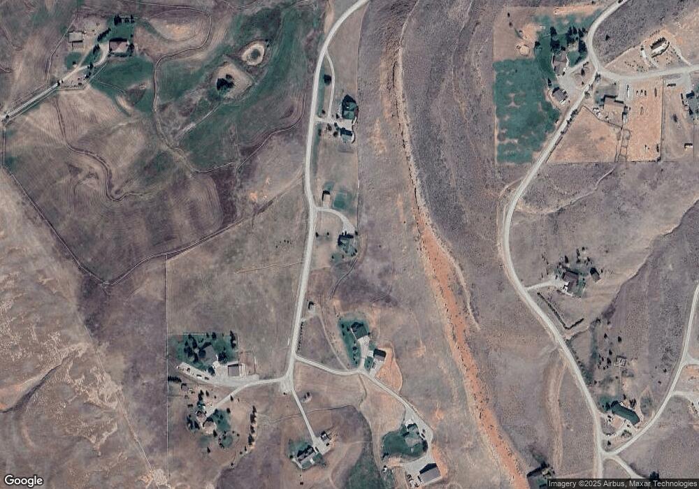
Map
Nearby Homes
- 18 Lewis Dr
- 2241 Squaw Creek Rd
- 41 Moss Rock Rd
- 2377 Baldwin Creek Rd
- 7 Raschell Ct
- 0000 Baldwin Creek Rd
- 2067 Baldwin Creek Rd
- 0 Baldwin Creek Rd Unit 24005149
- 0 Baldwin Creek Rd Unit 11520931
- 200 Irwin Ln
- 120 Roaring Fork Ct
- 796 Welch Blvd
- 824 Vance Dr
- 791 Garner Dr
- 960 Dabich Ave
- 180 S 10th St
- 167 Western Ave
- 605 Cliff St
- 835 Garfield St
- 55 Western Ave
- 26 Red Rim Rd
- 10 Red Rim Rd
- 29 Red Rim Rd
- 30 Red Rim Rd
- 34 Red Rim Rd
- 16 Sacajawea Ave
- 16 Sacajawea Ave Unit Squaw Creek Rd
- 33 Red Rim Rd Unit Squaw Creek Road
- 28 Boulder Loop
- 24 Boulder Loop Unit Squaw Creek
- 43 Sacajawea Ave
- 30 Sacajawea Ave
- 00 Lewis Dr
- 20 Boulder Loop
- 4 Lewis Dr
- 10 Lewis Dr
- 55 Sacajawea Ave
- 55 Sacajawea Ave Unit Boulder Loop
- 15 Boulder Loop Unit Squaw Creek Rd.
- 15 Boulder Loop