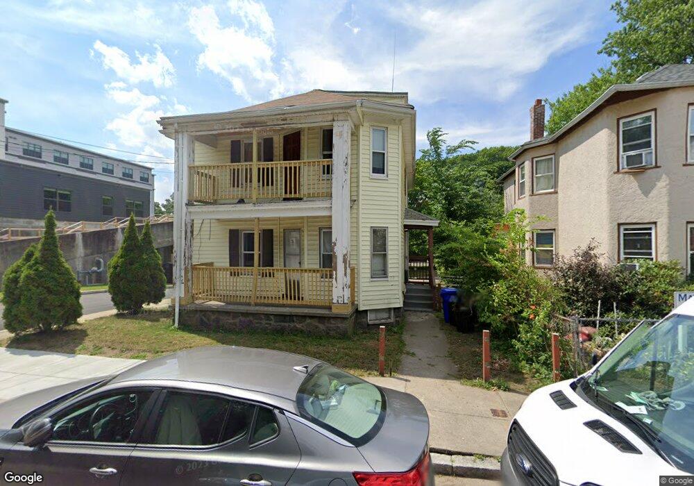
20 Regis Rd Unit 22 Mattapan, MA 02126
Mattapan Square NeighborhoodEstimated Value: $642,313 - $824,000
4
Beds
2
Baths
2,208
Sq Ft
$331/Sq Ft
Est. Value
About This Home
This home is located at 20 Regis Rd Unit 22, Mattapan, MA 02126 and is currently estimated at $730,578, approximately $330 per square foot. 20 Regis Rd Unit 22 is a home located in Suffolk County with nearby schools including KIPP Academy Boston Charter School, Berea Seventh-day Adventist Academy, and St. Mary of the Hills School.
Ownership History
Date
Name
Owned For
Owner Type
Purchase Details
Closed on
Apr 6, 1995
Sold by
Royal Funding Corp
Bought by
Wilson James E
Current Estimated Value
Create a Home Valuation Report for This Property
The Home Valuation Report is an in-depth analysis detailing your home's value as well as a comparison with similar homes in the area
Home Values in the Area
Average Home Value in this Area
Purchase History
| Date | Buyer | Sale Price | Title Company |
|---|---|---|---|
| Wilson James E | $5,000 | -- |
Source: Public Records
Mortgage History
| Date | Status | Borrower | Loan Amount |
|---|---|---|---|
| Open | Wilson James E | $25,000 | |
| Open | Wilson James E | $262,400 |
Source: Public Records
Tax History Compared to Growth
Tax History
| Year | Tax Paid | Tax Assessment Tax Assessment Total Assessment is a certain percentage of the fair market value that is determined by local assessors to be the total taxable value of land and additions on the property. | Land | Improvement |
|---|---|---|---|---|
| 2025 | $6,379 | $550,900 | $186,200 | $364,700 |
| 2024 | $5,814 | $533,400 | $167,000 | $366,400 |
| 2023 | $5,403 | $503,100 | $157,500 | $345,600 |
| 2022 | $5,474 | $503,100 | $157,500 | $345,600 |
| 2021 | $4,880 | $457,400 | $143,200 | $314,200 |
| 2020 | $4,478 | $424,100 | $149,100 | $275,000 |
| 2019 | $4,138 | $392,600 | $107,800 | $284,800 |
| 2018 | $3,674 | $350,600 | $107,800 | $242,800 |
| 2017 | $3,571 | $337,200 | $107,800 | $229,400 |
| 2016 | $3,372 | $306,500 | $107,800 | $198,700 |
| 2015 | $2,744 | $226,600 | $86,000 | $140,600 |
| 2014 | $2,639 | $209,800 | $86,000 | $123,800 |
Source: Public Records
Map
Nearby Homes
- 95 Woodhaven St
- 10 Brockton St
- 770 Cummins Hwy Unit 1
- 770 Cummins Hwy Unit 22
- 48-50 Rockdale St
- 90 Hollingsworth St
- 1465 Blue Hill Ave
- 839-843 Cummins Hwy
- 4 Crossman St Unit 4
- 23 Caton St
- 20 Monterey Ave
- 231 Itasca St
- 645 River St
- 11 French St
- 100 Itasca St
- 60 and 64 Monterey Ave
- 84 Blue Hills Pkwy
- 24 Constitution Rd
- 16 Blue Hill Ave
- 12 Hiawatha Rd
- 24 Regis Rd Unit 26
- 23 Regis Rd Unit 2
- 23 Regis Rd Unit 1
- 21 Regis Rd
- 25 Regis Rd
- 17 Regis Rd Unit 19
- 29 Regis Rd Unit 31
- 0 Regis Rd
- 33 Regis Rd
- 39 Regis Rd
- 51 Rexford St
- 49 Rexford St
- 864 Cummins Hwy
- 45 Rexford St
- 57 Rexford St
- 57 Rexford St Unit 1
- 57 Rexford St Unit 2
- 104 Woodhaven St
- 100 Woodhaven St
- 59 Rexford St