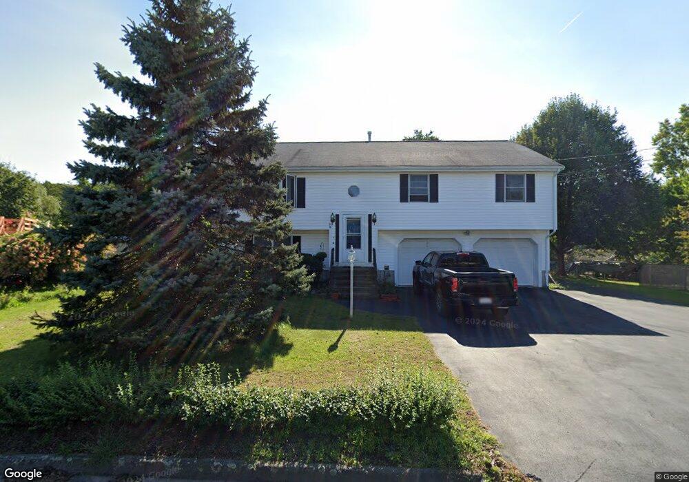
20 Reilly Dr Randolph, MA 02368
North Randolph NeighborhoodEstimated Value: $657,945 - $731,000
4
Beds
2
Baths
1,344
Sq Ft
$518/Sq Ft
Est. Value
About This Home
This home is located at 20 Reilly Dr, Randolph, MA 02368 and is currently estimated at $695,736, approximately $517 per square foot. 20 Reilly Dr is a home located in Norfolk County with nearby schools including Randolph High School, Boston Higashi School, and Lighthouse Baptist Christian Academy.
Ownership History
Date
Name
Owned For
Owner Type
Purchase Details
Closed on
May 30, 2025
Sold by
Reilly H Douglas Est and Reilly
Bought by
Bartelamia Richard and Bartelamia Sydney
Current Estimated Value
Home Financials for this Owner
Home Financials are based on the most recent Mortgage that was taken out on this home.
Original Mortgage
$715,050
Outstanding Balance
$711,985
Interest Rate
6.83%
Mortgage Type
VA
Estimated Equity
-$16,249
Create a Home Valuation Report for This Property
The Home Valuation Report is an in-depth analysis detailing your home's value as well as a comparison with similar homes in the area
Home Values in the Area
Average Home Value in this Area
Purchase History
| Date | Buyer | Sale Price | Title Company |
|---|---|---|---|
| Bartelamia Richard | $700,000 | None Available | |
| Bartelamia Richard | $700,000 | None Available |
Source: Public Records
Mortgage History
| Date | Status | Borrower | Loan Amount |
|---|---|---|---|
| Open | Bartelamia Richard | $715,050 | |
| Closed | Bartelamia Richard | $715,050 |
Source: Public Records
Tax History
| Year | Tax Paid | Tax Assessment Tax Assessment Total Assessment is a certain percentage of the fair market value that is determined by local assessors to be the total taxable value of land and additions on the property. | Land | Improvement |
|---|---|---|---|---|
| 2025 | $7,302 | $628,900 | $271,400 | $357,500 |
| 2024 | $7,156 | $625,000 | $266,000 | $359,000 |
| 2023 | $6,774 | $560,800 | $241,800 | $319,000 |
| 2022 | $6,701 | $492,700 | $201,700 | $291,000 |
| 2021 | $6,460 | $437,100 | $168,000 | $269,100 |
| 2020 | $6,276 | $420,900 | $168,000 | $252,900 |
| 2019 | $6,185 | $412,900 | $160,000 | $252,900 |
| 2018 | $5,898 | $371,400 | $145,600 | $225,800 |
| 2017 | $5,838 | $360,800 | $138,400 | $222,400 |
| 2016 | $5,666 | $325,800 | $126,000 | $199,800 |
| 2015 | $5,540 | $306,100 | $120,100 | $186,000 |
Source: Public Records
Map
Nearby Homes
- 469 North St
- 12 Brewster Rd
- 591 N Main St
- 54 Jasper Ln
- 661 North St
- 700 North St
- 43 West St Unit A2
- 16 Grove Square Unit 16
- 34 Orchard St
- 10 Alfred Terrace
- 20 Simmonds Blvd Unit 20
- 18 Simmonds Blvd Unit 18
- 8 Simmonds Blvd Unit 8
- 22 Simmonds Blvd Unit 22
- 10 Simmonds Blvd Unit 10
- 24 Simmonds Blvd Unit 24
- 6 Simmonds Blvd Unit 6
- 153 West St
- 6 Eagle Rd
- 4 Powdrell Ave
Your Personal Tour Guide
Ask me questions while you tour the home.