20 River Ct McDonough, GA 30252
Estimated Value: $319,000 - $357,308
3
Beds
2
Baths
1,632
Sq Ft
$210/Sq Ft
Est. Value
About This Home
This home is located at 20 River Ct, McDonough, GA 30252 and is currently estimated at $342,327, approximately $209 per square foot. 20 River Ct is a home located in Henry County with nearby schools including Rock Spring Elementary School, Ola Middle School, and Ola High School.
Ownership History
Date
Name
Owned For
Owner Type
Purchase Details
Closed on
May 11, 2021
Sold by
Cox Kevin Craig
Bought by
Cox Kevin Craig and Cox Belinda Deann
Current Estimated Value
Home Financials for this Owner
Home Financials are based on the most recent Mortgage that was taken out on this home.
Original Mortgage
$294,566
Outstanding Balance
$265,957
Interest Rate
3%
Mortgage Type
FHA
Estimated Equity
$76,370
Purchase Details
Closed on
Aug 8, 2014
Sold by
Dutton Albert Estate
Bought by
Coggins Andrew and Coggins Lindsay
Create a Home Valuation Report for This Property
The Home Valuation Report is an in-depth analysis detailing your home's value as well as a comparison with similar homes in the area
Home Values in the Area
Average Home Value in this Area
Purchase History
| Date | Buyer | Sale Price | Title Company |
|---|---|---|---|
| Cox Kevin Craig | -- | -- | |
| Cox Kevin Craig | $300,000 | -- | |
| Coggins Andrew | $9,000 | -- |
Source: Public Records
Mortgage History
| Date | Status | Borrower | Loan Amount |
|---|---|---|---|
| Open | Cox Kevin Craig | $294,566 | |
| Closed | Cox Kevin Craig | $294,566 |
Source: Public Records
Tax History
| Year | Tax Paid | Tax Assessment Tax Assessment Total Assessment is a certain percentage of the fair market value that is determined by local assessors to be the total taxable value of land and additions on the property. | Land | Improvement |
|---|---|---|---|---|
| 2025 | $5,609 | $140,880 | $38,600 | $102,280 |
| 2024 | $5,609 | $137,760 | $35,560 | $102,200 |
| 2023 | $5,323 | $137,720 | $34,560 | $103,160 |
| 2022 | $4,279 | $110,520 | $32,560 | $77,960 |
| 2021 | $2,991 | $76,920 | $24,800 | $52,120 |
| 2020 | $2,710 | $69,600 | $23,760 | $45,840 |
| 2019 | $2,435 | $62,440 | $22,920 | $39,520 |
| 2018 | $2,225 | $56,960 | $21,720 | $35,240 |
| 2016 | $1,488 | $37,760 | $20,000 | $17,760 |
| 2015 | $182 | $3,600 | $1,411 | $2,189 |
| 2014 | $717 | $16,920 | $8,760 | $8,160 |
Source: Public Records
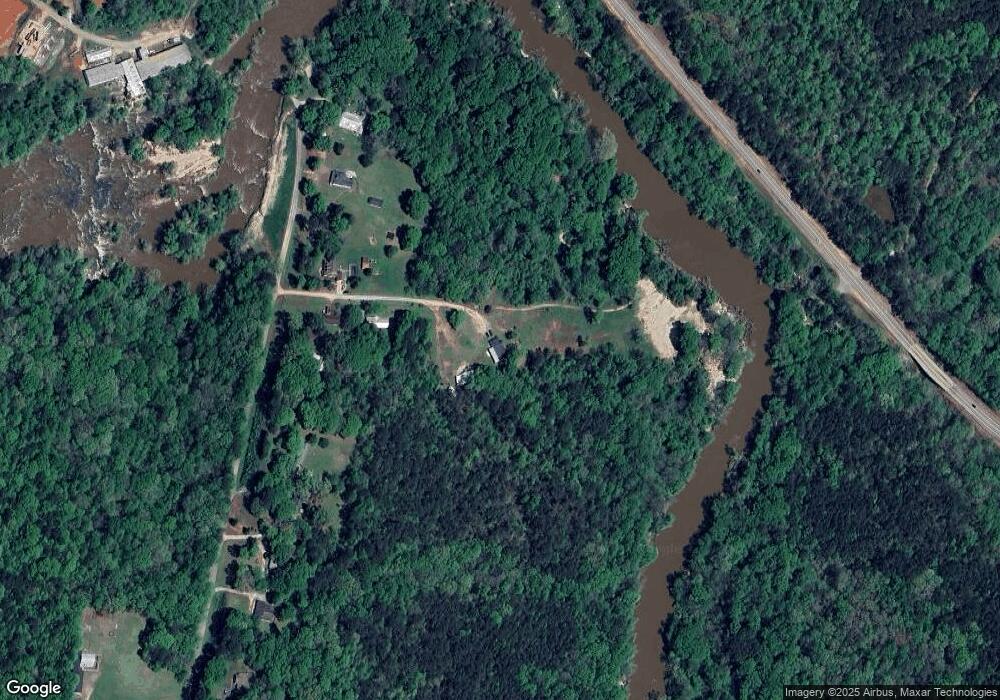
Map
Nearby Homes
- 5506 Highway 81 S
- 153 Helen Rd
- 143 Covered Bridge Rd
- 161 Covered Bridge Rd
- 6192 Highway 81 E
- 1087 Crown Landing Pkwy
- 90 Harvey Ave
- 1062 Crown Landing Pkwy
- 25 Shadowbrook Ct
- 190 Shadowbrook Trace
- 200 Shadowbrook Trace
- 444 Covered Bridge Rd
- 145 Shadowbrook Trace Unit 2
- 233 Cobblestone Ln
- 360 Chestnut Dr
- 285 Chestnut Dr
- 230 Great Gorge Pkwy
- 195 Great Gorge Pkwy
- 4627 Highway 212
- 50 Cranbrook Ct
- 50 River Ct
- 10 N River Rd
- 10 River Ct
- 3302 Old Snapping Shoals Rd
- 3332 Old Snapping Shoals Rd
- 3282 Old Snapping Shoals Rd
- 3342 Old Snapping Shoals Rd
- 3252 Old Snapping Shoals Rd
- 3364 Old Snapping Shoals Rd
- 3745 Highway 212
- 3745 Highway 212
- 3240 Old Snapping Shoals Rd
- 3238 Old Snapping Shoals Rd
- 3236 Old Snapping Shoals Rd
- 3603 Route 212
- 0 Lummus Rd Unit 2896085
- 0 Lummus Rd Unit 8299733
- 0 Lummus Rd Unit 6843405
- 0 Lummus Rd Unit 8929567
- 3480 Highway 212
Your Personal Tour Guide
Ask me questions while you tour the home.