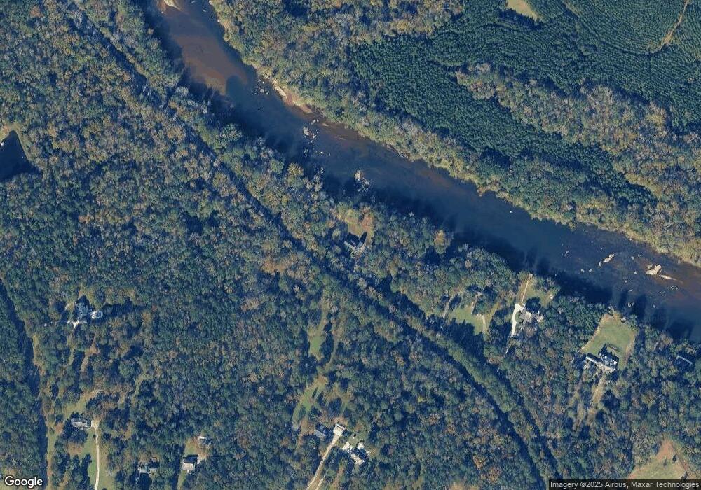
20 River Trace Macon, GA 31210
Estimated Value: $456,000 - $679,000
4
Beds
4
Baths
2,474
Sq Ft
$222/Sq Ft
Est. Value
About This Home
This home is located at 20 River Trace, Macon, GA 31210 and is currently estimated at $550,152, approximately $222 per square foot. 20 River Trace is a home with nearby schools including T.G. Scott Elementary School and Mary Persons High School.
Ownership History
Date
Name
Owned For
Owner Type
Purchase Details
Closed on
Nov 13, 2014
Sold by
Heller Robert D
Bought by
Heller Robert Daniel and Heller Kristin Anise
Current Estimated Value
Home Financials for this Owner
Home Financials are based on the most recent Mortgage that was taken out on this home.
Original Mortgage
$294,300
Outstanding Balance
$225,444
Interest Rate
4%
Mortgage Type
New Conventional
Estimated Equity
$324,708
Purchase Details
Closed on
Oct 11, 2012
Sold by
Posey Bobby J
Bought by
Heller Robert D
Purchase Details
Closed on
Sep 30, 2011
Sold by
Griner William J
Bought by
Posey Bobby J
Purchase Details
Closed on
Aug 23, 2007
Sold by
Not Provided
Bought by
Griner Bryan J and Griner William J
Purchase Details
Closed on
Aug 1, 1985
Sold by
Lowe Thomas H and Lowe Maribeth
Bought by
Ford Ford C and Ford Nancy S
Purchase Details
Closed on
Nov 20, 1984
Sold by
Forestland Properties Inc
Bought by
Lowe Thomas H and Lowe Maribeth
Create a Home Valuation Report for This Property
The Home Valuation Report is an in-depth analysis detailing your home's value as well as a comparison with similar homes in the area
Home Values in the Area
Average Home Value in this Area
Purchase History
| Date | Buyer | Sale Price | Title Company |
|---|---|---|---|
| Heller Robert Daniel | $294,300 | -- | |
| Heller Robert D | $100,000 | -- | |
| Posey Bobby J | $140,000 | -- | |
| Griner Bryan J | $80,000 | -- | |
| Ford Ford C | $50,000 | -- | |
| Lowe Thomas H | $32,000 | -- |
Source: Public Records
Mortgage History
| Date | Status | Borrower | Loan Amount |
|---|---|---|---|
| Open | Heller Robert Daniel | $294,300 |
Source: Public Records
Tax History Compared to Growth
Tax History
| Year | Tax Paid | Tax Assessment Tax Assessment Total Assessment is a certain percentage of the fair market value that is determined by local assessors to be the total taxable value of land and additions on the property. | Land | Improvement |
|---|---|---|---|---|
| 2024 | $3,439 | $134,160 | $38,240 | $95,920 |
| 2023 | $3,300 | $118,160 | $38,240 | $79,920 |
| 2022 | $2,874 | $118,160 | $38,240 | $79,920 |
| 2021 | $2,975 | $118,160 | $38,240 | $79,920 |
| 2020 | $3,050 | $118,160 | $38,240 | $79,920 |
| 2019 | $3,074 | $118,160 | $38,240 | $79,920 |
| 2018 | $3,084 | $118,160 | $38,240 | $79,920 |
| 2017 | $3,434 | $118,160 | $38,240 | $79,920 |
| 2016 | $2,933 | $118,160 | $38,240 | $79,920 |
| 2015 | $1,002 | $38,240 | $38,240 | $0 |
| 2014 | $966 | $38,240 | $38,240 | $0 |
Source: Public Records
Map
Nearby Homes
- 11 River Trace
- 118 Weatherford Place
- 5609 Taylor Terrace
- 337 Searcy Dr
- 133 Searcy Dr
- 0 Pea Ridge Rd Unit 10432504
- 0 Pea Ridge Rd Unit 177687
- 625 Rum Creek Rd
- 87 Georgia 87
- 0 Rum Creek Rd Unit 10564676
- 0 Rum Creek Rd Unit 24151025
- 4255 Upper River Rd
- 176 Tumbling Shoals Dr
- 184 Tumbling Shoals Dr
- 106 Whistler Ln
- 1301 Exchange Dr
- 1402 Cottage Hill Dr
- 376 Providence Blvd
- 19 River Trace
- 18 River Trace
- 230 Kingswood Dr
- 17 River Trace
- 250 Kingswood Dr
- 0 River Trace Unit 8449409
- 0 River Trace Unit 12,13 8997397
- 0 River Trace Unit 8912571
- 1101 Castlegate Dr
- 220 Kingswood Dr
- 260 Kingswood Dr
- 15 River Trace
- 320 Kingswood Dr
- 210 Kingswood Dr
- 224 Kingswood Dr
- 200 Kingswood Dr
- 22 River Trace
- 22 River Trace Unit 22
- 22 River Trace Unit B2A
- 14 River Trace
