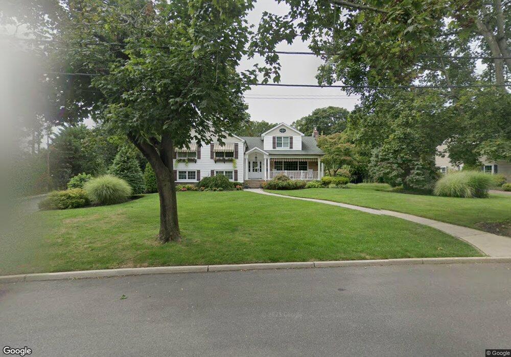
20 Rivers Edge Dr Little Silver, NJ 07739
Estimated Value: $1,699,000 - $1,918,000
4
Beds
2
Baths
3,270
Sq Ft
$549/Sq Ft
Est. Value
About This Home
This home is located at 20 Rivers Edge Dr, Little Silver, NJ 07739 and is currently estimated at $1,793,882, approximately $548 per square foot. 20 Rivers Edge Dr is a home located in Monmouth County with nearby schools including Point Road School, Markham Place School, and Red Bank Regional High School.
Ownership History
Date
Name
Owned For
Owner Type
Purchase Details
Closed on
Jan 27, 2021
Sold by
Malone Wayne N and Malone Anne R
Bought by
Manning Donald and Manning Maryann
Current Estimated Value
Purchase Details
Closed on
Jul 31, 2001
Sold by
Bender William
Bought by
Malone Anne and Malone Wayne
Home Financials for this Owner
Home Financials are based on the most recent Mortgage that was taken out on this home.
Original Mortgage
$376,550
Interest Rate
7.1%
Create a Home Valuation Report for This Property
The Home Valuation Report is an in-depth analysis detailing your home's value as well as a comparison with similar homes in the area
Home Values in the Area
Average Home Value in this Area
Purchase History
| Date | Buyer | Sale Price | Title Company |
|---|---|---|---|
| Manning Donald | $1,175,000 | Two Rivers Title Co Llc | |
| Malone Anne | $443,000 | -- |
Source: Public Records
Mortgage History
| Date | Status | Borrower | Loan Amount |
|---|---|---|---|
| Previous Owner | Malone Anne | $376,550 |
Source: Public Records
Tax History Compared to Growth
Tax History
| Year | Tax Paid | Tax Assessment Tax Assessment Total Assessment is a certain percentage of the fair market value that is determined by local assessors to be the total taxable value of land and additions on the property. | Land | Improvement |
|---|---|---|---|---|
| 2025 | $21,255 | $1,451,200 | $901,900 | $549,300 |
| 2024 | $20,311 | $1,259,200 | $668,100 | $591,100 |
| 2023 | $20,311 | $1,128,400 | $560,000 | $568,400 |
| 2022 | $19,077 | $1,026,200 | $485,000 | $541,200 |
| 2021 | $19,077 | $966,400 | $485,000 | $481,400 |
| 2020 | $19,368 | $955,500 | $485,000 | $470,500 |
| 2019 | $18,961 | $952,800 | $485,000 | $467,800 |
| 2018 | $18,553 | $928,600 | $485,000 | $443,600 |
| 2017 | $18,375 | $915,100 | $485,000 | $430,100 |
| 2016 | $17,941 | $904,300 | $485,000 | $419,300 |
| 2015 | $17,752 | $883,600 | $465,000 | $418,600 |
| 2014 | $17,720 | $824,200 | $465,000 | $359,200 |
Source: Public Records
Map
Nearby Homes
- 41 Edgewood Ave
- 3 Sandbar Alley
- 212 Willow Dr
- 35 Sunnybank Dr
- 40 Brookside Ln
- 50 Willow Dr
- 36 Maple Ave
- 33 Willow Dr
- 26 Prince Place
- 10 Asbury Ave
- 3 Foggia Way
- 16 Haskell Way
- 55 Cheshire Square
- 82 Little Silver Pkwy
- 14 Oceanport Ave
- 104 Garden Rd
- 87 Rumson Rd
- 66 Shrewsbury Ave
- 1 George St
- 32 Woodbine Ave
- 16 Rivers Edge Dr
- 35 Sunnylands Ct
- 28 Rivers Edge Dr
- 23 Sunnylands Ct
- 21 Rivers Edge Dr
- 41 Sunnylands Ct
- 15 Rivers Edge Dr
- 10 Rivers Edge Dr
- 34 Rivers Edge Dr
- 9 Rivers Edge Dr
- 30 Sunnylands Ct
- 240 Silverside Ave
- 22 Sunnylands Ct
- 32 Rivers Edge Dr
- 38 Sunnylands Ct
- 38 Rivers Edge Dr
- 3 Rivers Edge Dr
- 16 Sunnylands Ct
- 26 Edgewood Ave
- 44 Rivers Edge Dr