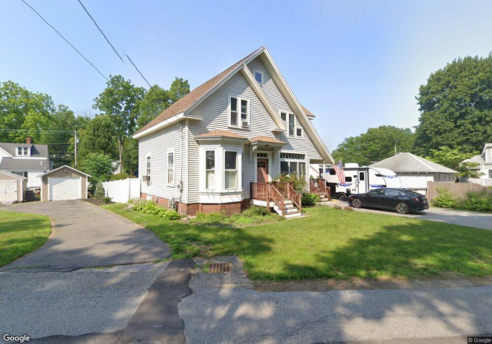
20 Riverside Ave Haverhill, MA 01830
Riverside NeighborhoodEstimated Value: $506,000 - $667,000
4
Beds
3
Baths
2,591
Sq Ft
$239/Sq Ft
Est. Value
About This Home
This home is located at 20 Riverside Ave, Haverhill, MA 01830 and is currently estimated at $618,364, approximately $238 per square foot. 20 Riverside Ave is a home located in Essex County with nearby schools including Golden Hill, Dr. Paul Nettle Middle School, and Haverhill High School.
Ownership History
Date
Name
Owned For
Owner Type
Purchase Details
Closed on
Mar 31, 2000
Sold by
Salzano Gianmarco and Salzano Patricia
Bought by
Burns Richard E
Current Estimated Value
Purchase Details
Closed on
Sep 30, 1997
Sold by
Paquet Victor L and Paquet Elaine J
Bought by
Salzano Gianmarco and Salzano Patricia
Purchase Details
Closed on
Apr 13, 1989
Sold by
Deyermond Calvin A
Bought by
Paquet Victor
Create a Home Valuation Report for This Property
The Home Valuation Report is an in-depth analysis detailing your home's value as well as a comparison with similar homes in the area
Home Values in the Area
Average Home Value in this Area
Purchase History
| Date | Buyer | Sale Price | Title Company |
|---|---|---|---|
| Burns Richard E | $187,000 | -- | |
| Salzano Gianmarco | $140,000 | -- | |
| Paquet Victor | $136,900 | -- |
Source: Public Records
Mortgage History
| Date | Status | Borrower | Loan Amount |
|---|---|---|---|
| Open | Paquet Victor | $35,100 | |
| Open | Paquet Victor | $284,000 | |
| Closed | Paquet Victor | $60,000 |
Source: Public Records
Tax History Compared to Growth
Tax History
| Year | Tax Paid | Tax Assessment Tax Assessment Total Assessment is a certain percentage of the fair market value that is determined by local assessors to be the total taxable value of land and additions on the property. | Land | Improvement |
|---|---|---|---|---|
| 2025 | $6,191 | $578,100 | $196,300 | $381,800 |
| 2024 | $5,680 | $533,800 | $196,300 | $337,500 |
| 2023 | $5,437 | $487,600 | $179,900 | $307,700 |
| 2022 | $5,166 | $406,100 | $163,600 | $242,500 |
| 2021 | $5,055 | $376,100 | $163,600 | $212,500 |
| 2020 | $5,061 | $372,100 | $163,600 | $208,500 |
| 2019 | $4,916 | $352,400 | $143,900 | $208,500 |
| 2018 | $4,757 | $333,600 | $139,000 | $194,600 |
| 2017 | $4,761 | $317,600 | $139,000 | $178,600 |
| 2016 | $4,591 | $298,900 | $124,300 | $174,600 |
| 2015 | $4,588 | $298,900 | $124,300 | $174,600 |
Source: Public Records
Map
Nearby Homes
- 54 Lincoln Ave
- 65 Madison St Unit 65
- 104 Keeley St Unit A
- 420 Water St
- 49 Douglas St
- 1 Lisa Ln
- 29 Claremont Ave
- 121 Linwood St
- 63 Old Ferry Rd
- 144 Old Ferry Rd Unit H
- 358 Main St
- 23 Orchard Ave Unit E
- 19 Orchard Ave Unit F
- 28 Coffin Ave
- 15 Overlook Cir
- 425 Main St
- 404 Main St
- 218 Old Groveland Rd
- 26 Harding Ave
- 47 Gardner St
- 25 Lincoln Ave
- 25 Lincoln Ave Unit 1
- 15 Lincoln Ave
- 16 Riverside Ave
- 29 Lincoln Ave
- 12 Riverside Ave
- 8 Adams St
- 11 Lincoln Ave
- 30 Lincoln Ave
- 9 Adams St
- 20 Lincoln Ave
- 7 Adams St
- 35 Lincoln Ave
- 35 Lincoln Ave Unit 1
- 8 Lincoln Ave
- 8 Lincoln Ave Unit 8
- 10 Lincoln Ave
- 34 Riverside Ave
- 34 Riverside Ave Unit 1
- 34 Riverside Ave Unit 2