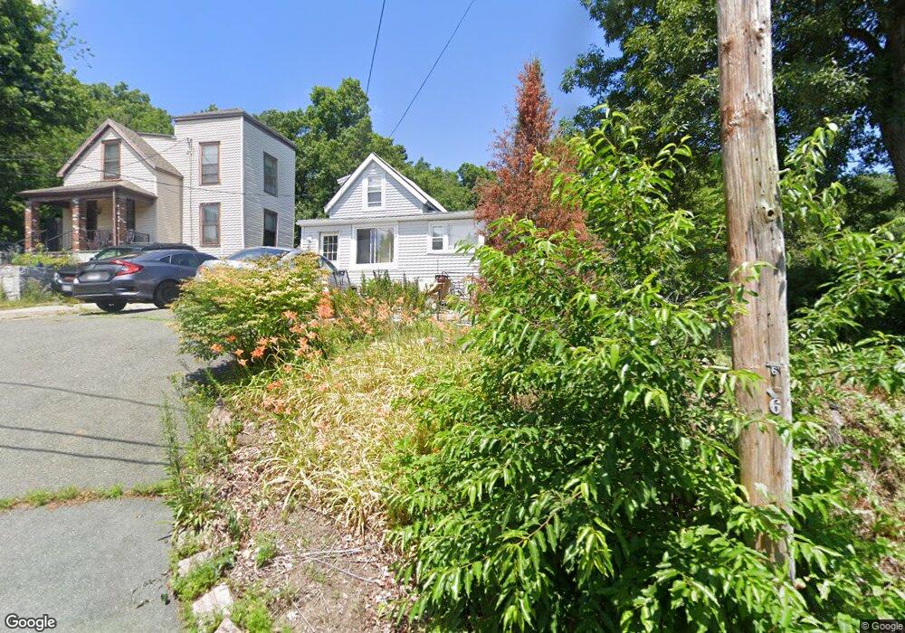
20 Riverview Ave Saugus, MA 01906
Lynnhurst NeighborhoodEstimated Value: $500,000 - $590,000
3
Beds
1
Bath
1,035
Sq Ft
$538/Sq Ft
Est. Value
About This Home
This home is located at 20 Riverview Ave, Saugus, MA 01906 and is currently estimated at $556,974, approximately $538 per square foot. 20 Riverview Ave is a home located in Essex County with nearby schools including Saugus High School, Pioneer Charter School Of Science II, and Sacred Heart School.
Ownership History
Date
Name
Owned For
Owner Type
Purchase Details
Closed on
Jul 7, 2003
Sold by
Deon Viva E and Dionne Brenda J
Bought by
Deon Viva E
Current Estimated Value
Purchase Details
Closed on
Jun 23, 1998
Sold by
Deon Donald David and Deon Viva Elizabeth
Bought by
Fitzpatrick John J and Fitzpatrick Michele E
Create a Home Valuation Report for This Property
The Home Valuation Report is an in-depth analysis detailing your home's value as well as a comparison with similar homes in the area
Home Values in the Area
Average Home Value in this Area
Purchase History
| Date | Buyer | Sale Price | Title Company |
|---|---|---|---|
| Deon Viva E | -- | -- | |
| Fitzpatrick John J | $105,000 | -- |
Source: Public Records
Mortgage History
| Date | Status | Borrower | Loan Amount |
|---|---|---|---|
| Open | Fitzpatrick John J | $225,125 | |
| Closed | Fitzpatrick John J | $41,000 |
Source: Public Records
Tax History
| Year | Tax Paid | Tax Assessment Tax Assessment Total Assessment is a certain percentage of the fair market value that is determined by local assessors to be the total taxable value of land and additions on the property. | Land | Improvement |
|---|---|---|---|---|
| 2025 | $5,289 | $495,200 | $340,400 | $154,800 |
| 2024 | $5,143 | $482,900 | $331,200 | $151,700 |
| 2023 | $4,932 | $438,000 | $289,800 | $148,200 |
| 2022 | $4,828 | $402,000 | $269,600 | $132,400 |
| 2021 | $4,273 | $346,300 | $223,600 | $122,700 |
| 2020 | $3,996 | $335,200 | $212,500 | $122,700 |
| 2019 | $3,960 | $325,100 | $202,400 | $122,700 |
| 2018 | $3,582 | $309,300 | $193,200 | $116,100 |
| 2017 | $3,416 | $283,500 | $184,000 | $99,500 |
| 2016 | $3,392 | $278,000 | $174,700 | $103,300 |
| 2015 | $3,183 | $264,800 | $166,400 | $98,400 |
| 2014 | $2,704 | $232,900 | $166,400 | $66,500 |
Source: Public Records
Map
Nearby Homes
- 4 Oneil Way
- 52 Hesper St
- 36 Jasper St
- 187 Hamilton St
- 25 Auburn St
- 1 Rhodes St
- 62 Chestnut St Unit 2
- 66 Springdale Ave
- 7 Adams Ave
- 21 Fenton Ave
- 24 Palmetto St
- 62 Main St
- 32 Birch Brook Landing Unit 25
- 32 Birch Brook Landing Unit 22
- 32 Birch Brook Rd Unit 13
- 32 Birch Brook Rd Unit 27
- 32 Birch Brook Rd Unit 26
- 32 Birch Brook Rd Unit 16
- 32 Birch Brook Rd Unit 1
- 32 Birch Brook Rd Unit 15
- 18 Riverview Ave
- 108 Hamilton St
- 110 Hamilton St
- 33 Hanson Rd
- 104 Hamilton St
- 116 Hamilton St
- 100 Hamilton St
- 16 Riverview Ave
- 35 Hanson Rd
- 105 Hamilton St
- 12 Riverview Ave
- 2 Bisbee Rd
- 4 Bisbee Rd
- 111 Hamilton St
- 1 Bisbee Rd
- 96 Hamilton St
- 101 Hamilton St
- 8 Riverview Ave
- 117 Hamilton St
- 32 Hanson Rd
Your Personal Tour Guide
Ask me questions while you tour the home.