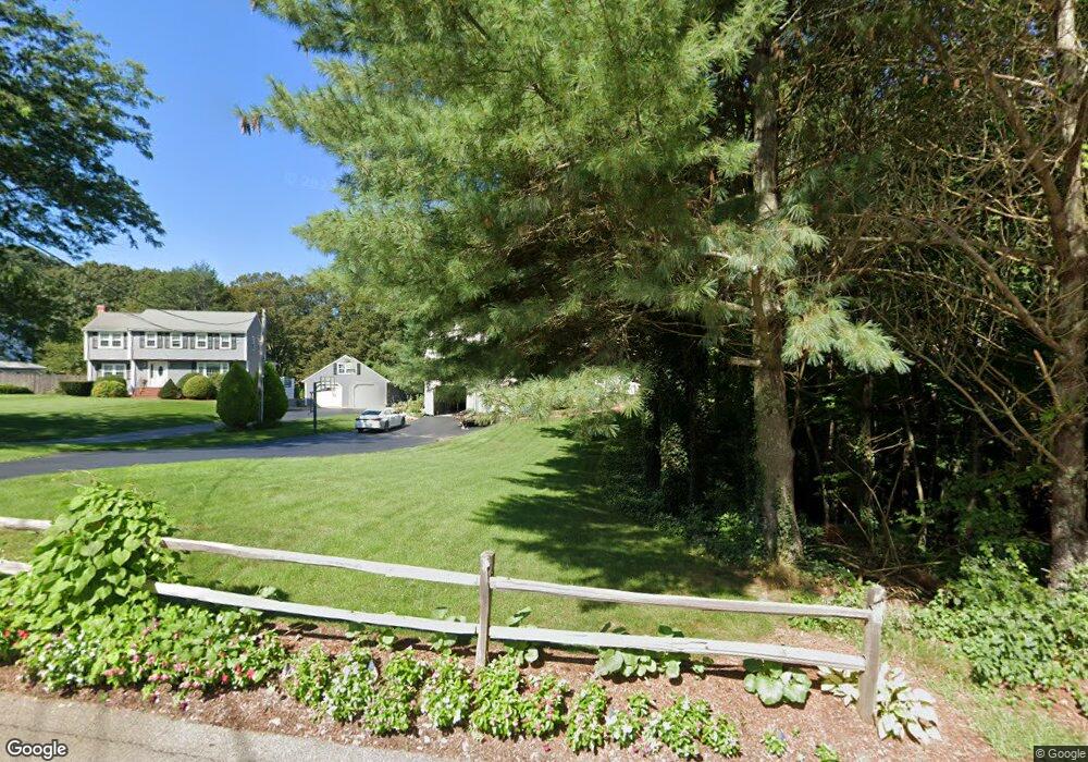
20 Robert Topham Dr Wrentham, MA 02093
Estimated Value: $879,000 - $1,264,000
4
Beds
2
Baths
2,274
Sq Ft
$482/Sq Ft
Est. Value
About This Home
This home is located at 20 Robert Topham Dr, Wrentham, MA 02093 and is currently estimated at $1,096,810, approximately $482 per square foot. 20 Robert Topham Dr is a home located in Norfolk County with nearby schools including Delaney Elementary School and Charles E Roderick.
Ownership History
Date
Name
Owned For
Owner Type
Purchase Details
Closed on
Sep 9, 2021
Sold by
Etter Timothy D and Etter Julie A
Bought by
Timothy D Etter Lt and Etter
Current Estimated Value
Purchase Details
Closed on
Jun 30, 2006
Sold by
Calhoun David C and Calhoun Helen A
Bought by
Lane Erin Lh and Lane Gregory W
Home Financials for this Owner
Home Financials are based on the most recent Mortgage that was taken out on this home.
Original Mortgage
$200,000
Interest Rate
6.58%
Mortgage Type
Purchase Money Mortgage
Purchase Details
Closed on
Mar 10, 2004
Sold by
Bowers Richard W and Bowers Sandra L
Bought by
Calhoun David C and Calhoun Helen A
Home Financials for this Owner
Home Financials are based on the most recent Mortgage that was taken out on this home.
Original Mortgage
$425,600
Interest Rate
5.67%
Mortgage Type
Purchase Money Mortgage
Create a Home Valuation Report for This Property
The Home Valuation Report is an in-depth analysis detailing your home's value as well as a comparison with similar homes in the area
Home Values in the Area
Average Home Value in this Area
Purchase History
| Date | Buyer | Sale Price | Title Company |
|---|---|---|---|
| Timothy D Etter Lt | -- | None Available | |
| Lane Erin Lh | $550,000 | -- | |
| Lane Erin Lh | $550,000 | -- | |
| Calhoun David C | $532,000 | -- | |
| Calhoun David C | $532,000 | -- |
Source: Public Records
Mortgage History
| Date | Status | Borrower | Loan Amount |
|---|---|---|---|
| Previous Owner | Lane Erin Lh | $200,000 | |
| Previous Owner | Calhoun David C | $425,600 | |
| Previous Owner | Calhoun David C | $65,000 |
Source: Public Records
Tax History Compared to Growth
Tax History
| Year | Tax Paid | Tax Assessment Tax Assessment Total Assessment is a certain percentage of the fair market value that is determined by local assessors to be the total taxable value of land and additions on the property. | Land | Improvement |
|---|---|---|---|---|
| 2025 | $10,106 | $872,000 | $557,600 | $314,400 |
| 2024 | $10,043 | $836,900 | $557,600 | $279,300 |
| 2023 | $10,083 | $799,000 | $499,700 | $299,300 |
| 2022 | $9,108 | $666,300 | $410,800 | $255,500 |
| 2021 | $9,922 | $705,200 | $454,100 | $251,100 |
| 2020 | $10,391 | $729,200 | $462,000 | $267,200 |
| 2019 | $10,296 | $729,200 | $462,000 | $267,200 |
| 2018 | $9,612 | $675,000 | $416,200 | $258,800 |
| 2017 | $9,178 | $644,100 | $408,200 | $235,900 |
| 2016 | $8,548 | $598,600 | $396,400 | $202,200 |
| 2015 | $7,951 | $530,800 | $381,000 | $149,800 |
| 2014 | $7,837 | $511,900 | $366,500 | $145,400 |
Source: Public Records
Map
Nearby Homes
- 131 Creek St Unit 7
- 11 Earle Stewart Ln
- Lot 3 - 14 Earle Stewart Ln
- Lot 1 - Blueberry 2 Car Plan at King Philip Estates
- Lot 8 - Blueberry 2 Car Plan at King Philip Estates
- Lot 6 - Blueberry 3 Car Plan at King Philip Estates
- Lot 2 - Camden 2 Car Plan at King Philip Estates
- Lot 7 - Cedar Plan at King Philip Estates
- Lot 4 - Hemingway 2 Car Plan at King Philip Estates
- Lot 3 - Blueberry 2 Car Plan at King Philip Estates
- 10 Nature View Dr
- 15 Nature View Dr
- 570 Franklin St
- 319 Taunton St
- 791 South St Unit 5
- 270 Dedham St
- 1 Lorraine Metcalf Dr
- 362 East St
- 50 Reed Fulton Ave Unit Lot 61
- 246 Forest Grove Ave
- 30 Robert Topham Dr
- 40 Robert Topham Dr
- 135 Creek St Unit 4
- 135 Creek St Unit 3
- 135 Creek St Unit 2
- 135 Creek St Unit 1
- 133 Creek St Unit 10
- 133 Creek St Unit 9
- 133 Creek St Unit 8
- 133 Creek St Unit 7
- 133 Creek St Unit 6
- 133 Creek St Unit 5
- 133 Creek St Unit 4
- 133 Creek St Unit 3
- 133 Creek St Unit 2
- 133 Creek St Unit 1
- 131 Creek St Unit 10
- 131 Creek St Unit 8
- 135 Creek St Unit 11
- 135 Creek St Unit 10