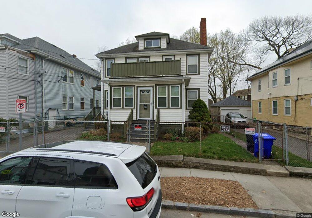
20 Rockdale St Unit 1 Mattapan, MA 02126
Mattapan Square NeighborhoodEstimated Value: $678,000 - $792,000
1
Bed
1
Bath
900
Sq Ft
$828/Sq Ft
Est. Value
About This Home
This home is located at 20 Rockdale St Unit 1, Mattapan, MA 02126 and is currently estimated at $745,391, approximately $828 per square foot. 20 Rockdale St Unit 1 is a home located in Suffolk County with nearby schools including KIPP Academy Boston Charter School, Boston Preparatory Charter Public School, and Berea Seventh-day Adventist Academy.
Ownership History
Date
Name
Owned For
Owner Type
Purchase Details
Closed on
May 5, 2023
Sold by
Whyte Joan Y
Bought by
20 Rockdale Street Rt
Current Estimated Value
Purchase Details
Closed on
Oct 13, 1989
Sold by
Herrington Stephen
Bought by
Whyte Joan Y
Create a Home Valuation Report for This Property
The Home Valuation Report is an in-depth analysis detailing your home's value as well as a comparison with similar homes in the area
Home Values in the Area
Average Home Value in this Area
Purchase History
| Date | Buyer | Sale Price | Title Company |
|---|---|---|---|
| 20 Rockdale Street Rt | -- | None Available | |
| Whyte Joan Y | $130,000 | -- |
Source: Public Records
Mortgage History
| Date | Status | Borrower | Loan Amount |
|---|---|---|---|
| Previous Owner | Whyte Joan Y | $150,000 | |
| Previous Owner | Whyte Joan Y | $25,000 |
Source: Public Records
Tax History Compared to Growth
Tax History
| Year | Tax Paid | Tax Assessment Tax Assessment Total Assessment is a certain percentage of the fair market value that is determined by local assessors to be the total taxable value of land and additions on the property. | Land | Improvement |
|---|---|---|---|---|
| 2025 | $7,110 | $614,000 | $257,800 | $356,200 |
| 2024 | $6,348 | $582,400 | $234,200 | $348,200 |
| 2023 | $5,902 | $549,500 | $221,000 | $328,500 |
| 2022 | $5,979 | $549,500 | $221,000 | $328,500 |
| 2021 | $5,330 | $499,500 | $200,900 | $298,600 |
| 2020 | $4,870 | $461,200 | $202,100 | $259,100 |
| 2019 | $4,503 | $427,200 | $146,100 | $281,100 |
| 2018 | $3,998 | $381,500 | $146,100 | $235,400 |
| 2017 | $3,884 | $366,800 | $146,100 | $220,700 |
| 2016 | $3,669 | $333,500 | $146,100 | $187,400 |
| 2015 | $3,041 | $251,100 | $113,000 | $138,100 |
| 2014 | $2,925 | $232,500 | $113,000 | $119,500 |
Source: Public Records
Map
Nearby Homes
- 48-50 Rockdale St
- 90 Hollingsworth St
- 95 Woodhaven St
- 770 Cummins Hwy Unit 1
- 770 Cummins Hwy Unit 22
- 10 Brockton St
- 16 Blue Hill Ave
- 645 River St
- 84 Blue Hills Pkwy
- 23 Caton St
- 839-843 Cummins Hwy
- 25 Alpine St Unit 7
- 27 Hawthorn Rd
- 1465 Blue Hill Ave
- 128 Blue Hills Pkwy
- 96 Brook Rd
- 20 Massasoit St
- 24 Constitution Rd
- 4 Crossman St Unit 4
- 112 Brush Hill Rd
- 20 Rockdale St
- 16 Rockdale St Unit 18
- 22 Rockdale St
- 12 Rockdale St Unit 14
- 24 Rockdale St
- 24 Rockdale St Unit B
- 19 Rockdale St
- 10 Rockdale St Unit 2
- 23 Rockdale St
- 15 Rockdale St
- 8 Rockdale St Unit 10
- 8 Rockdale St Unit 2
- 26 Rockdale St
- 33 Violante St
- 11 Rockdale St
- 25 Rockdale St Unit 27
- 871 Cummins Hwy
- 18 Marcy Rd
- 28 Rockdale St Unit 30
- 869 Cummins Hwy