20 Rolling Meadow Dr Lexington, VA 24450
Estimated Value: $392,879 - $495,000
3
Beds
2
Baths
1,980
Sq Ft
$223/Sq Ft
Est. Value
About This Home
This home is located at 20 Rolling Meadow Dr, Lexington, VA 24450 and is currently estimated at $442,470, approximately $223 per square foot. 20 Rolling Meadow Dr is a home located in Rockbridge County with nearby schools including Rockbridge County High School.
Ownership History
Date
Name
Owned For
Owner Type
Purchase Details
Closed on
May 5, 2022
Sold by
Dare Campbell Brooklyn Elizabeth
Bought by
Campbell Brooklyn Elizabeth Da
Current Estimated Value
Purchase Details
Closed on
Nov 8, 2013
Sold by
Whorley Gene W and Whorley Maxine C
Bought by
Campbell Shannon M and Campbell Brooklyn Elizabeth Dare
Purchase Details
Closed on
Nov 16, 2007
Sold by
Whorley Gene W
Bought by
Whorley Gene W and Whorley Maxine C
Home Financials for this Owner
Home Financials are based on the most recent Mortgage that was taken out on this home.
Original Mortgage
$75,000
Interest Rate
6.48%
Mortgage Type
Credit Line Revolving
Purchase Details
Closed on
Apr 19, 2005
Sold by
Wilfong Thomas M and Wilfong Tammy L
Bought by
Whorley Gene W
Home Financials for this Owner
Home Financials are based on the most recent Mortgage that was taken out on this home.
Original Mortgage
$27,000
Interest Rate
6.01%
Mortgage Type
Purchase Money Mortgage
Purchase Details
Closed on
Feb 7, 2005
Sold by
Curlis John J and Curlis Alice E
Bought by
Wilfong Thomas M and Wilfong Tammy L
Create a Home Valuation Report for This Property
The Home Valuation Report is an in-depth analysis detailing your home's value as well as a comparison with similar homes in the area
Home Values in the Area
Average Home Value in this Area
Purchase History
| Date | Buyer | Sale Price | Title Company |
|---|---|---|---|
| Campbell Brooklyn Elizabeth Da | -- | Jones James Todd | |
| Campbell Shannon M | $210,000 | None Available | |
| Whorley Gene W | -- | None Available | |
| Whorley Gene W | -- | None Available | |
| Wilfong Thomas M | -- | None Available |
Source: Public Records
Mortgage History
| Date | Status | Borrower | Loan Amount |
|---|---|---|---|
| Previous Owner | Whorley Gene W | $75,000 | |
| Previous Owner | Whorley Gene W | $27,000 |
Source: Public Records
Tax History
| Year | Tax Paid | Tax Assessment Tax Assessment Total Assessment is a certain percentage of the fair market value that is determined by local assessors to be the total taxable value of land and additions on the property. | Land | Improvement |
|---|---|---|---|---|
| 2025 | $2,026 | $316,500 | $54,700 | $261,800 |
| 2024 | $19 | $316,500 | $54,700 | $261,800 |
| 2023 | $1,931 | $316,500 | $54,700 | $261,800 |
| 2022 | $1,795 | $242,600 | $51,000 | $191,600 |
| 2021 | $1,795 | $242,600 | $51,000 | $191,600 |
| 2020 | $1,795 | $242,600 | $51,000 | $191,600 |
| 2019 | $1,771 | $242,600 | $51,000 | $191,600 |
| 2018 | $1,698 | $242,600 | $51,000 | $191,600 |
| 2017 | $1,698 | $242,600 | $51,000 | $191,600 |
| 2016 | $1,785 | $242,900 | $52,000 | $190,900 |
| 2015 | -- | $0 | $0 | $0 |
| 2014 | -- | $0 | $0 | $0 |
| 2013 | -- | $0 | $0 | $0 |
Source: Public Records
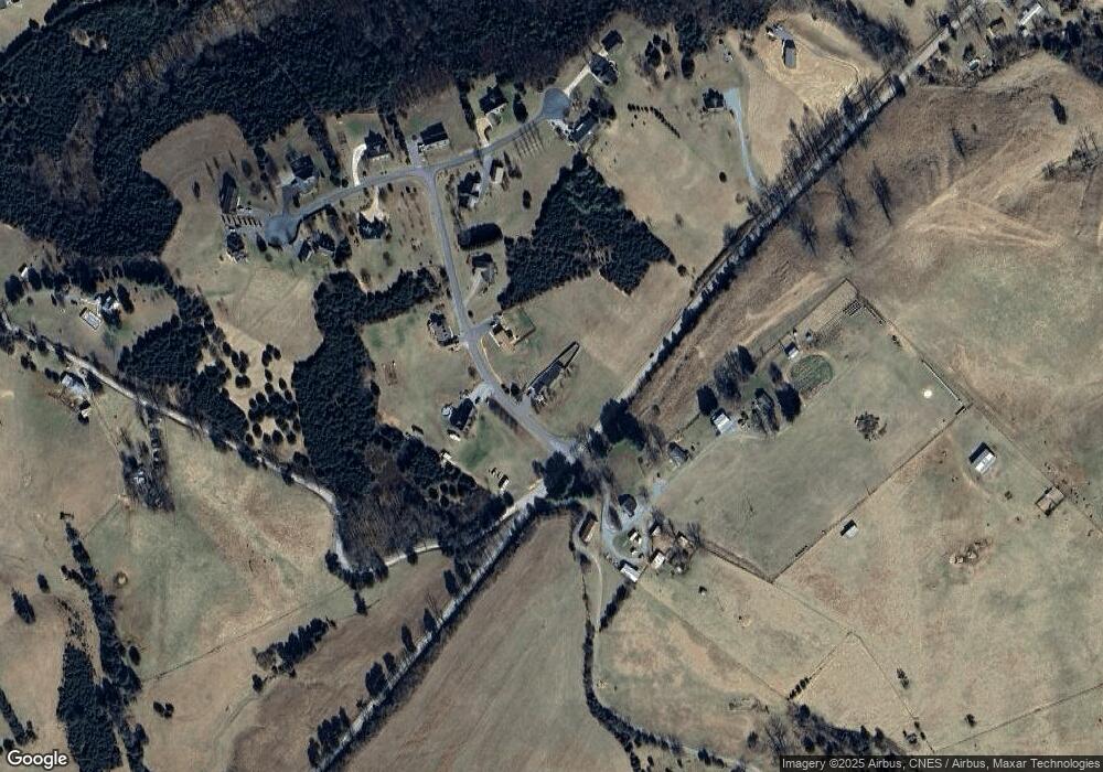
Map
Nearby Homes
- 41 Twin Rivers Ln
- 587 Bunker Hill Mill Rd
- lot 9 A Maury Ridge Dr
- 00 Bennetts Run Rd
- 364 Elm Ave
- 114 Dickinson Dr
- 301 Forge Rd
- 6.03 Acres Woodland Ave
- 61 Emerald Ln
- Lots 7-8-9 Cresthill Dr
- .785 acres Cresthill Dr
- Lot 2-3-4 Cresthill Dr
- 7 Pathfinder Dr
- Lots 3-4-5 Pathfinder Dr
- 1202 S Lee Hwy
- 1215 Oak Ave
- 1369 Maple Ave
- 1534 Maple Ave
- 1796 Forest Ave
- 0 Pear Blossom Ln Unit 9, 11, 12, 13
- 20 Rolling Meadow Dr Unit 608
- 30 Rolling Meadow Dr
- Lot 1 Rolling Meadow Dr
- 25 Rolling Meadow Dr
- 45 Rolling Meadow Dr
- 50 Rolling Meadow Dr
- 53 Breezy Ridge Ln
- 70 Meadow Heights Ln
- 78 Breezy Ridge Ln
- 80 Meadow Heights Ln
- 55 Meadow Heights Ln
- 65 Meadow Heights Ln
- 25 Meadow Heights Ln
- 90 Meadow Heights Ln
- 1880 Forge Rd
- 15 Meadow Heights Ln
- 3 Meadow Heights Ln
- 5 Meadow Heights Ln
- 1850 Forge Rd
- 156 Round Hill Rd
Your Personal Tour Guide
Ask me questions while you tour the home.