Estimated Value: $506,982 - $582,000
3
Beds
2
Baths
1,664
Sq Ft
$329/Sq Ft
Est. Value
About This Home
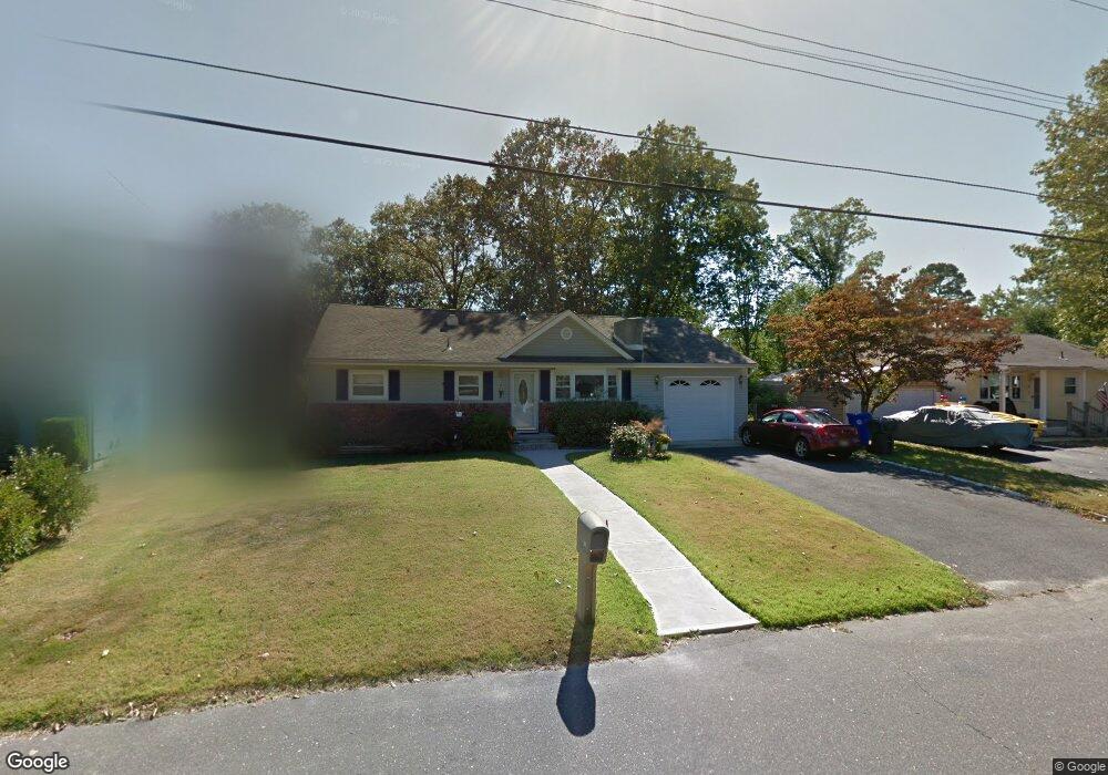
This home is located at 20 Rosalind Rd, Brick, NJ 08724 and is currently estimated at $547,746, approximately $329 per square foot. 20 Rosalind Rd is a home located in Ocean County with nearby schools including Lanes Mill Elementary School, Veterans Memorial Middle School, and Brick Township Memorial High School.
Ownership History
Date
Name
Owned For
Owner Type
Purchase Details
Closed on
Aug 27, 2014
Sold by
Mccarty Janice
Bought by
Gutierrez Fabian Rojas and Gutierrez Jennifer Rojas
Current Estimated Value
Create a Home Valuation Report for This Property
The Home Valuation Report is an in-depth analysis detailing your home's value as well as a comparison with similar homes in the area
Home Values in the Area
Average Home Value in this Area
Purchase History
| Date | Buyer | Sale Price | Title Company |
|---|---|---|---|
| Gutierrez Fabian Rojas | $250,000 | Multiple |
Source: Public Records
Tax History Compared to Growth
Tax History
| Year | Tax Paid | Tax Assessment Tax Assessment Total Assessment is a certain percentage of the fair market value that is determined by local assessors to be the total taxable value of land and additions on the property. | Land | Improvement |
|---|---|---|---|---|
| 2025 | $7,594 | $290,400 | $132,100 | $158,300 |
| 2024 | $7,219 | $290,400 | $132,100 | $158,300 |
| 2023 | $7,124 | $290,400 | $132,100 | $158,300 |
| 2022 | $6,736 | $274,600 | $132,100 | $142,500 |
| 2021 | $6,599 | $274,600 | $132,100 | $142,500 |
| 2020 | $6,508 | $274,600 | $132,100 | $142,500 |
| 2019 | $6,382 | $274,600 | $132,100 | $142,500 |
| 2018 | $6,236 | $274,600 | $132,100 | $142,500 |
| 2017 | $6,069 | $274,600 | $132,100 | $142,500 |
| 2016 | $6,025 | $274,600 | $132,100 | $142,500 |
| 2015 | $5,865 | $274,600 | $132,100 | $142,500 |
| 2014 | $5,808 | $274,600 | $132,100 | $142,500 |
Source: Public Records
Map
Nearby Homes
- 11 Sanford Rd
- 58 Belinda Ct
- 129 Camille Ct Unit 35B
- 00 Larchmont Ave
- 6 Hardy Ct
- 47 Cherrywood Cir Unit 147
- 5 Cherrywood Cir Unit 105
- 1248 Isadora Ct
- 1728 Burrsville Rd
- 173 Primrose Ln
- 120 Primrose Ln
- 1722 Burrsville Rd
- 28 Roberta Dr
- 20 Netty St
- 802 Sandra Place
- 51 Alan Terrace
- 21 Shelley Rd
- 39 Oak Terrace
- 12 Lamb Rd
- 201 Blake Cir
- 22 Rosalind Rd
- 18 Rosalind Rd
- 57 Burnt Tavern Rd
- 24 Rosalind Rd
- 16 Rosalind Rd
- 55 Burnt Tavern Rd
- 59 Burnt Tavern Rd
- 19 Rosalind Rd
- 21 Rosalind Rd
- 17 Rosalind Rd
- 61 Burnt Tavern Rd
- 26 Rosalind Rd
- 14 Rosalind Rd
- 23 Rosalind Rd
- 51 Burnt Tavern Rd
- 10 Jeffery Ln
- 63 Burnt Tavern Rd
- 25 Rosalind Rd
- 28 Rosalind Rd
- 12 Rosalind Rd