20 S 2500 W Fillmore, UT 84631
Estimated Value: $173,000
--
Bed
--
Bath
--
Sq Ft
10.06
Acres
About This Home
This home is located at 20 S 2500 W, Fillmore, UT 84631 and is currently estimated at $173,000. 20 S 2500 W is a home located in Millard County.
Ownership History
Date
Name
Owned For
Owner Type
Purchase Details
Closed on
Jan 25, 2024
Sold by
Corah Kent
Bought by
True North Investments Llc
Current Estimated Value
Purchase Details
Closed on
Mar 6, 2023
Sold by
Connor Kent
Bought by
Corah Kent
Purchase Details
Closed on
Feb 10, 2017
Sold by
Hansen Dena W
Bought by
Kent Connor
Home Financials for this Owner
Home Financials are based on the most recent Mortgage that was taken out on this home.
Original Mortgage
$220,000
Interest Rate
4.12%
Mortgage Type
New Conventional
Purchase Details
Closed on
Feb 13, 2006
Sold by
Crawford Richard S and Crawford Ruby N
Bought by
Hansen Dena W
Create a Home Valuation Report for This Property
The Home Valuation Report is an in-depth analysis detailing your home's value as well as a comparison with similar homes in the area
Home Values in the Area
Average Home Value in this Area
Purchase History
| Date | Buyer | Sale Price | Title Company |
|---|---|---|---|
| True North Investments Llc | -- | First American Title Insurance | |
| Corah Kent | -- | -- | |
| Kent Connor | -- | First American Title | |
| Hansen Dena W | -- | -- |
Source: Public Records
Mortgage History
| Date | Status | Borrower | Loan Amount |
|---|---|---|---|
| Previous Owner | Kent Connor | $220,000 |
Source: Public Records
Tax History Compared to Growth
Tax History
| Year | Tax Paid | Tax Assessment Tax Assessment Total Assessment is a certain percentage of the fair market value that is determined by local assessors to be the total taxable value of land and additions on the property. | Land | Improvement |
|---|---|---|---|---|
| 2025 | $2,827 | $376,285 | $52,280 | $324,005 |
| 2024 | $2,827 | $299,632 | $38,500 | $261,132 |
| 2023 | $3,046 | $299,632 | $38,500 | $261,132 |
| 2022 | $2,322 | $222,305 | $38,500 | $183,805 |
| 2021 | $1,889 | $174,715 | $27,850 | $146,865 |
| 2020 | $1,817 | $170,206 | $27,850 | $142,356 |
| 2019 | $1,663 | $156,974 | $27,850 | $129,124 |
| 2018 | $1,593 | $154,274 | $25,150 | $129,124 |
| 2017 | $38 | $3,500 | $3,500 | $0 |
| 2016 | $36 | $3,500 | $3,500 | $0 |
| 2015 | $36 | $3,500 | $3,500 | $0 |
| 2014 | -- | $2,500 | $2,500 | $0 |
| 2013 | -- | $2,500 | $2,500 | $0 |
Source: Public Records
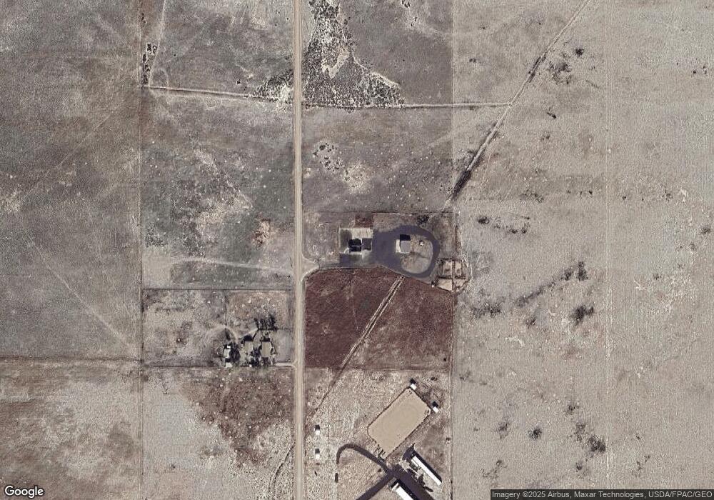
Map
Nearby Homes
- 2000 N West Frontage I-15
- 1565 W Sunflower Ln Unit 3
- 1615 W Sunflower Ln
- 1615 W Sunflower Ln Unit 4
- 1565 W Sunflower Ln
- 1360 N 3900 West Rd
- 410 W 400 N
- 7500 N 3900 Rd W
- 310 S 500 West Rd
- 1100 S 725 Rd W
- 335 W 400 North St
- 225 W 200 St N
- 380 N 200 St W
- 190 W 400 St S
- 75 N 100 West St
- 165 N 100 W
- 295 N 100 West St
- 390 N 100 W
- 3700 W 5800 N
- 205 N 100 E