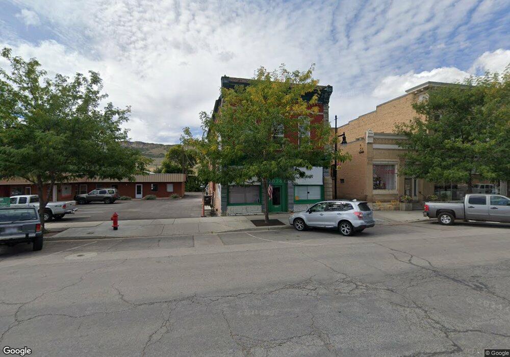
20 S Main St Coalville, UT 84017
Estimated Value: $286,223
Studio
--
Bath
3,000
Sq Ft
$95/Sq Ft
Est. Value
About This Home
This home is located at 20 S Main St, Coalville, UT 84017 and is currently estimated at $286,223, approximately $95 per square foot. 20 S Main St is a home located in Summit County with nearby schools including North Summit Middle School, North Summit Elementary School, and North Summit High School.
Ownership History
Date
Name
Owned For
Owner Type
Purchase Details
Closed on
Aug 25, 2022
Sold by
Blonquist Chester E and Blonquist Lynette
Bought by
Chester And Lynette Blonquist Family Trust and Blonquist
Current Estimated Value
Purchase Details
Closed on
Mar 18, 2015
Sold by
Kobler Amanda
Bought by
20 S Main Llc
Purchase Details
Closed on
May 24, 2006
Sold by
Wood Virgil Jay
Bought by
Kobler Amanda Tiffany
Home Financials for this Owner
Home Financials are based on the most recent Mortgage that was taken out on this home.
Original Mortgage
$133,400
Interest Rate
6.56%
Mortgage Type
Commercial
Create a Home Valuation Report for This Property
The Home Valuation Report is an in-depth analysis detailing your home's value as well as a comparison with similar homes in the area
Purchase History
| Date | Buyer | Sale Price | Title Company |
|---|---|---|---|
| Chester And Lynette Blonquist Family Trust | -- | Unlimited Title | |
| 20 S Main Llc | -- | First American Title | |
| Kobler Amanda Tiffany | -- | Mountain View Title |
Source: Public Records
Mortgage History
| Date | Status | Borrower | Loan Amount |
|---|---|---|---|
| Previous Owner | Kobler Amanda Tiffany | $133,400 |
Source: Public Records
Tax History
| Year | Tax Paid | Tax Assessment Tax Assessment Total Assessment is a certain percentage of the fair market value that is determined by local assessors to be the total taxable value of land and additions on the property. | Land | Improvement |
|---|---|---|---|---|
| 2025 | $2,214 | $352,235 | $26,136 | $326,099 |
| 2024 | $2,279 | $338,145 | $26,136 | $312,009 |
| 2023 | $2,279 | $352,235 | $26,136 | $326,099 |
| 2022 | $916 | $140,000 | $20,900 | $119,100 |
| 2021 | $1,222 | $140,000 | $20,900 | $119,100 |
| 2020 | $1,276 | $140,000 | $20,900 | $119,100 |
| 2019 | $1,469 | $140,000 | $20,900 | $119,100 |
| 2018 | $1,469 | $140,000 | $20,900 | $119,100 |
| 2017 | $1,477 | $140,000 | $20,900 | $119,100 |
| 2016 | $1,353 | $122,150 | $20,900 | $101,250 |
| 2015 | $1,396 | $122,150 | $0 | $0 |
| 2013 | $1,441 | $122,150 | $0 | $0 |
Source: Public Records
Map
Nearby Homes
- 82 S Main St
- 1 150 S Unit 1-2
- 16 W 200 N
- 246 E 100 N
- 265 S Old Farm Ln E Unit 18
- 296 Mackenzie Ln Unit 20
- 489 Border Station Rd
- 0 N Industrial Park Rd Unit 12504107
- 749 Village View Dr Unit 65
- 574 Village View Dr Unit 7
- 267 Mackenzie Ln Unit 17
- 283 Mackenzie Ln Unit 15
- 791 S West Hoytsville Rd
- 364 N Cedar Point Ln Unit CHOL-1
- 874 S West Hoytsville Rd
- 878 S West Hoytsville Rd
- 275 Creamery Ln Unit 16
- 1255 W Hoytsville Rd
- 1282 Pearl Ct
- 1275 Pearl Ct
Your Personal Tour Guide
Ask me questions while you tour the home.