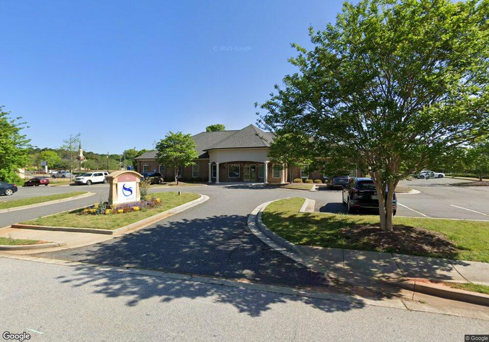
20 Satellite Dr Unit 300 Winder, GA 30680
Estimated Value: $1,190,049
--
Bed
--
Bath
6,359
Sq Ft
$187/Sq Ft
Est. Value
About This Home
This home is located at 20 Satellite Dr Unit 300, Winder, GA 30680 and is currently estimated at $1,190,049, approximately $187 per square foot. 20 Satellite Dr Unit 300 is a home located in Barrow County with nearby schools including County Line Elementary School, Russell Middle School, and Winder-Barrow High School.
Ownership History
Date
Name
Owned For
Owner Type
Purchase Details
Closed on
Feb 29, 2024
Sold by
Global Servants Inc
Bought by
Accorsi Holdings Llc
Current Estimated Value
Purchase Details
Closed on
Feb 24, 2020
Sold by
Hardman Properties Llc
Bought by
Global Servants
Purchase Details
Closed on
Dec 30, 2011
Sold by
Combs
Bought by
Hardman Properties Llc
Purchase Details
Closed on
Dec 3, 2009
Sold by
North Broad Business Park Llc
Bought by
Combs & Bartlett Llc
Home Financials for this Owner
Home Financials are based on the most recent Mortgage that was taken out on this home.
Original Mortgage
$137,500
Interest Rate
4.98%
Mortgage Type
Commercial
Purchase Details
Closed on
Mar 15, 2005
Sold by
Lanthier L W Llp
Bought by
North Broad Business Park Llc
Purchase Details
Closed on
Dec 30, 1998
Bought by
Lanthier L W Llp
Create a Home Valuation Report for This Property
The Home Valuation Report is an in-depth analysis detailing your home's value as well as a comparison with similar homes in the area
Home Values in the Area
Average Home Value in this Area
Purchase History
| Date | Buyer | Sale Price | Title Company |
|---|---|---|---|
| Accorsi Holdings Llc | $1,100,000 | -- | |
| Global Servants | $750,000 | -- | |
| Hardman Properties Llc | $890,000 | -- | |
| Combs & Bartlett Llc | $275,000 | -- | |
| North Broad Business Park Llc | -- | -- | |
| Lanthier L W Llp | -- | -- |
Source: Public Records
Mortgage History
| Date | Status | Borrower | Loan Amount |
|---|---|---|---|
| Previous Owner | Combs & Bartlett Llc | $137,500 |
Source: Public Records
Tax History Compared to Growth
Tax History
| Year | Tax Paid | Tax Assessment Tax Assessment Total Assessment is a certain percentage of the fair market value that is determined by local assessors to be the total taxable value of land and additions on the property. | Land | Improvement |
|---|---|---|---|---|
| 2024 | -- | $363,042 | $35,200 | $327,842 |
| 2023 | $39 | $363,042 | $35,200 | $327,842 |
| 2022 | $269 | $365,382 | $35,200 | $330,182 |
| 2021 | $269 | $269,397 | $50,000 | $219,397 |
| 2020 | $9,033 | $269,397 | $50,000 | $219,397 |
| 2019 | $9,162 | $269,397 | $50,000 | $219,397 |
| 2018 | $8,938 | $263,265 | $50,000 | $213,265 |
| 2017 | $7,397 | $247,917 | $50,000 | $197,917 |
| 2016 | $7,238 | $217,548 | $50,000 | $167,548 |
| 2015 | $7,372 | $221,370 | $50,000 | $171,370 |
| 2014 | $6,550 | $195,358 | $22,000 | $173,358 |
| 2013 | -- | $191,178 | $19,250 | $171,928 |
Source: Public Records
Map
Nearby Homes
- 323 Lumpkin St
- 273 Nancy St
- 131 Pinehurst Dr
- 0 W Williams St Unit 10464682
- 317 Georgia Ave
- 311 N Broad St
- 52 Saint Ives Cir
- 270 Griffith St
- 336 Shenandoah Cir
- 154 Blake Ln
- 62 Saint Ives Cir
- 69 Wisteria Way
- 17 W Wright St
- 66 Wisteria Way
- 816 Ideal Place
- 311 2nd Ave
- 598 Calgary Downs Dr
- 352 3rd Ave
- 165 Shields St
- 0 Jerome St Unit 7439149
- 20 Satellite Dr
- 20 Satellite Dr Unit 100
- 15 Satellite Dr
- 15 Satellite Dr Unit 15-50
- 30 Satellite Dr
- 10 Satellite Dr
- 15 Satellite Dr
- 35 Satellite Dr
- 271 N Broad St
- 25 Satellite Dr
- 14 Mimosa St
- 40 Satellite Dr
- 18 Mimosa St
- 55 Satellite Dr
- 20 Mimosa St
- 45 Satellite Dr
- 24 Mimosa St
- 50 Satellite Dr
- 0 Mimosa St Unit 8485263
- 0 Mimosa St