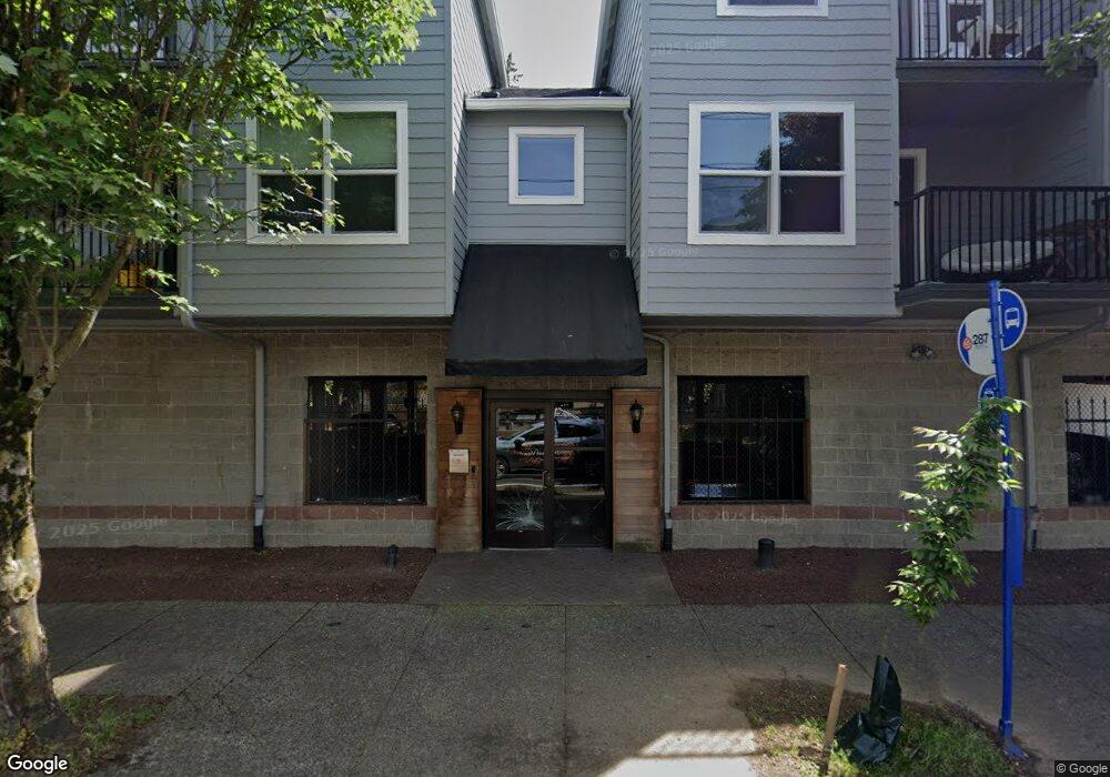
20 SE 172nd Ave Unit 112 Portland, OR 97233
Rockwood NeighborhoodEstimated Value: $158,000 - $241,000
2
Beds
2
Baths
880
Sq Ft
$228/Sq Ft
Est. Value
About This Home
This home is located at 20 SE 172nd Ave Unit 112, Portland, OR 97233 and is currently estimated at $200,945, approximately $228 per square foot. 20 SE 172nd Ave Unit 112 is a home located in Multnomah County with nearby schools including Hartley Elementary School, Reynolds Middle School, and Reynolds High School.
Ownership History
Date
Name
Owned For
Owner Type
Purchase Details
Closed on
Dec 1, 2010
Sold by
Wells Fargo Bank N A
Bought by
Ermakova Natalia
Current Estimated Value
Purchase Details
Closed on
Dec 8, 2008
Sold by
Cunningham Beth B
Bought by
Wells Fargo Bank Na
Purchase Details
Closed on
Dec 15, 2005
Sold by
Se 172Nd Avenue Partners Llc
Bought by
Cunningham Beth B
Home Financials for this Owner
Home Financials are based on the most recent Mortgage that was taken out on this home.
Original Mortgage
$123,520
Interest Rate
8.17%
Mortgage Type
Fannie Mae Freddie Mac
Create a Home Valuation Report for This Property
The Home Valuation Report is an in-depth analysis detailing your home's value as well as a comparison with similar homes in the area
Home Values in the Area
Average Home Value in this Area
Purchase History
| Date | Buyer | Sale Price | Title Company |
|---|---|---|---|
| Ermakova Natalia | $54,900 | Fidelity Natl Title Co Of Or | |
| Wells Fargo Bank Na | $140,846 | Fidelity National Title Co | |
| Cunningham Beth B | $154,400 | Fidelity National Title Co |
Source: Public Records
Mortgage History
| Date | Status | Borrower | Loan Amount |
|---|---|---|---|
| Previous Owner | Cunningham Beth B | $30,880 | |
| Previous Owner | Cunningham Beth B | $123,520 |
Source: Public Records
Tax History Compared to Growth
Tax History
| Year | Tax Paid | Tax Assessment Tax Assessment Total Assessment is a certain percentage of the fair market value that is determined by local assessors to be the total taxable value of land and additions on the property. | Land | Improvement |
|---|---|---|---|---|
| 2025 | $2,619 | $136,500 | -- | $136,500 |
| 2024 | $2,478 | $132,530 | -- | $132,530 |
| 2023 | $2,478 | $128,670 | $0 | $128,670 |
| 2022 | $2,187 | $124,930 | $0 | $0 |
| 2021 | $2,133 | $121,300 | $0 | $0 |
| 2020 | $1,996 | $117,770 | $0 | $0 |
| 2019 | $1,913 | $114,340 | $0 | $0 |
| 2018 | $1,894 | $111,010 | $0 | $0 |
| 2017 | $1,833 | $107,780 | $0 | $0 |
| 2016 | $1,753 | $104,650 | $0 | $0 |
| 2015 | $1,682 | $101,610 | $0 | $0 |
| 2014 | $1,413 | $85,790 | $0 | $0 |
Source: Public Records
Map
Nearby Homes
- 20 SE 172nd Ave Unit 118
- 17310 E Burnside St
- 16950 SE Ankeny St
- 16646 SE Ankeny St
- 165 NE 167th Place
- 17442 SE Washington Ct
- 121 SE 166th Ave
- 17909 NE Everett Ct
- 850 SE 169th Dr
- 16550 SE Alder Ct
- 17821 SE Morrison Ct
- 18149 SE Pine St
- 830 NE 172nd Ave
- 202 NE 162nd Ave
- 275 SE 162nd Ave Unit 309
- 281 SE 162nd Ave Unit 105
- 16230 NE Hoyt St
- 1124 NE 172nd Ave
- 1210 SE 179th Ave
- 18503 NE Couch St
- 20 SE 172nd Ave Unit 122
- 20 SE 172nd Ave Unit 121
- 20 SE 172nd Ave Unit 120
- 20 SE 172nd Ave Unit 119
- 20 SE 172nd Ave Unit 117
- 20 SE 172nd Ave Unit 116
- 20 SE 172nd Ave Unit 115
- 20 SE 172nd Ave Unit 114
- 20 SE 172nd Ave Unit 113
- 20 SE 172nd Ave Unit 111
- 20 SE 172nd Ave Unit 110
- 20 SE 172nd Ave Unit 109
- 20 SE 172nd Ave Unit 108
- 20 SE 172nd Ave Unit 106
- 20 SE 172nd Ave Unit 105
- 20 SE 172nd Ave Unit 103
- 20 SE 172nd Ave Unit 102
- 20 SE 172nd Ave Unit 101
- 40 SE 172nd Ave
- 17245 E Burnside St