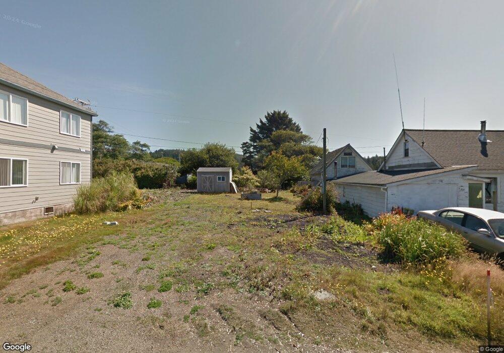
20 SE Conway Ave Depoe Bay, OR 97341
Estimated Value: $358,000 - $478,000
1
Bed
1
Bath
621
Sq Ft
$684/Sq Ft
Est. Value
About This Home
This home is located at 20 SE Conway Ave, Depoe Bay, OR 97341 and is currently estimated at $425,035, approximately $684 per square foot. 20 SE Conway Ave is a home located in Lincoln County with nearby schools including Taft Elementary School, Oceanlake Elementary School, and Taft High School.
Ownership History
Date
Name
Owned For
Owner Type
Purchase Details
Closed on
Feb 13, 2013
Sold by
Federal National Mortgage Association
Bought by
Bates Charles L and Bates Gwenetta L
Current Estimated Value
Purchase Details
Closed on
Apr 6, 2012
Sold by
Generation Mortgage Company
Bought by
Federal National Mortgage Association
Create a Home Valuation Report for This Property
The Home Valuation Report is an in-depth analysis detailing your home's value as well as a comparison with similar homes in the area
Home Values in the Area
Average Home Value in this Area
Purchase History
| Date | Buyer | Sale Price | Title Company |
|---|---|---|---|
| Bates Charles L | $72,000 | Premier Title Of Oregon | |
| Federal National Mortgage Association | -- | Wte |
Source: Public Records
Tax History Compared to Growth
Tax History
| Year | Tax Paid | Tax Assessment Tax Assessment Total Assessment is a certain percentage of the fair market value that is determined by local assessors to be the total taxable value of land and additions on the property. | Land | Improvement |
|---|---|---|---|---|
| 2024 | $3,634 | $279,640 | -- | -- |
| 2023 | $3,472 | $271,500 | $0 | $0 |
| 2022 | $3,371 | $263,600 | $0 | $0 |
| 2021 | $3,402 | $255,930 | $0 | $0 |
| 2020 | $3,327 | $248,480 | $0 | $0 |
| 2019 | $3,131 | $241,250 | $0 | $0 |
| 2018 | $3,040 | $234,230 | $0 | $0 |
| 2017 | $2,936 | $227,410 | $0 | $0 |
| 2016 | $2,892 | $222,850 | $0 | $0 |
| 2015 | $2,363 | $193,990 | $0 | $0 |
| 2014 | $1,644 | $143,200 | $0 | $0 |
| 2013 | -- | $112,920 | $0 | $0 |
Source: Public Records
Map
Nearby Homes
- 34 NE Williams Ave
- 60 SE Cook Ave
- 25 Clarke St
- 25 NE Clarke St
- 250 SE Coast Guard Dr Unit 2
- 0 SE Elsie St
- Lot 5 SE Elsie St
- 140 Bayview Ave
- 340 NE Harbor View Place
- 200 Blk SE Bayview Tl 600 699 700 800
- 350 NE Harbor View Place
- 200 Blk Se Bayview Tl600-944
- 200
- 427 SE Winchell St
- 8900 NE Harbor View Place
- 443 SE Winchell St
- Lot 19 NE Spring Ave
- 200 Blk Bayview Tl944
- 318 U S 101
- 500 E
- 30 SE Conway Ave
- 40 E Collins St
- - - Dr
- 0 Tl 3600 E Collins St Unit 22-2224
- 0 Tl 3500 E Collins St Unit 22-2223
- 40 SW Conway Ave
- 50 E Collins St
- 45 SW Conway Ave
- 35 SE Williams Ave
- 55 Collins St
- 5 Collins (Lt)
- 500 Collins (Blk)
- 5 Collins (Lot)
- 0 E Collins St NE Unit 737318
- 0 E Collins St NE Unit 12239625
- 65 Collins St
- 50 SE Conway Ave
- 100 Collins Block of
- 75 SE Bay St
- 17 NE Williams Ave