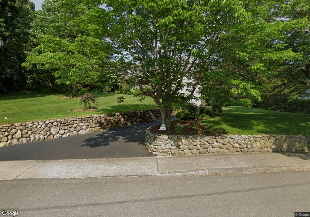
20 Seaver St North Easton, MA 02356
Estimated Value: $825,000 - $973,000
4
Beds
2
Baths
2,344
Sq Ft
$390/Sq Ft
Est. Value
About This Home
This home is located at 20 Seaver St, North Easton, MA 02356 and is currently estimated at $913,827, approximately $389 per square foot. 20 Seaver St is a home located in Bristol County with nearby schools including Easton Middle School and Dovecrest Montessori Academy.
Ownership History
Date
Name
Owned For
Owner Type
Purchase Details
Closed on
Sep 27, 2016
Sold by
Halvorsen Mark and Halvorsen Juliet M
Bought by
Mark R Halvorsen Lt and Halvorsen
Current Estimated Value
Purchase Details
Closed on
Nov 10, 2005
Sold by
Grinder Ann Marie and Fredericksen Anna Marie
Bought by
Halvorsen Juliet M and Halvorsen Mark
Purchase Details
Closed on
Apr 26, 2001
Sold by
Anderson Lambert M and Anderson Rosemary A
Bought by
Fredericksen Peter J and Fredericksen Ann Marie
Create a Home Valuation Report for This Property
The Home Valuation Report is an in-depth analysis detailing your home's value as well as a comparison with similar homes in the area
Home Values in the Area
Average Home Value in this Area
Purchase History
| Date | Buyer | Sale Price | Title Company |
|---|---|---|---|
| Mark R Halvorsen Lt | -- | -- | |
| Mark R Halvorsen Lt | -- | -- | |
| Halvorsen Juliet M | $550,000 | -- | |
| Halvorsen Juliet M | $550,000 | -- | |
| Fredericksen Peter J | $308,000 | -- | |
| Fredericksen Peter J | $308,000 | -- |
Source: Public Records
Mortgage History
| Date | Status | Borrower | Loan Amount |
|---|---|---|---|
| Previous Owner | Fredericksen Peter J | $560,000 | |
| Previous Owner | Fredericksen Peter J | $58,600 |
Source: Public Records
Tax History Compared to Growth
Tax History
| Year | Tax Paid | Tax Assessment Tax Assessment Total Assessment is a certain percentage of the fair market value that is determined by local assessors to be the total taxable value of land and additions on the property. | Land | Improvement |
|---|---|---|---|---|
| 2025 | $9,860 | $790,100 | $361,700 | $428,400 |
| 2024 | $9,796 | $733,800 | $306,200 | $427,600 |
| 2023 | $9,031 | $619,000 | $306,200 | $312,800 |
| 2022 | $8,838 | $574,300 | $266,800 | $307,500 |
| 2021 | $8,677 | $560,500 | $253,000 | $307,500 |
| 2020 | $8,470 | $550,700 | $243,200 | $307,500 |
| 2019 | $9,388 | $588,200 | $226,100 | $362,100 |
| 2018 | $9,170 | $565,700 | $226,100 | $339,600 |
| 2017 | $9,148 | $564,000 | $226,100 | $337,900 |
| 2016 | $8,320 | $513,900 | $226,100 | $287,800 |
| 2015 | $8,006 | $477,100 | $192,300 | $284,800 |
| 2014 | $7,799 | $468,400 | $186,700 | $281,700 |
Source: Public Records
Map
Nearby Homes
- 225 Main St
- 224 Main St
- 56 Williams St
- 67 Center St
- 334-336 Main St
- 280 Washington St
- 32 Spooner St
- 11 Olde Stable Ln
- 8 Hobart Way
- 15 King Ave
- Lot 8 Cooper Ln
- 12 Holmes St
- 7 Coolidge Cir
- 18 Prudence Crandall Ln Unit 18
- 24 Eisenhower Dr
- 221 Center St
- 1 Whittier Ln Unit 1
- 15 Scotch Dam Rd
- 21 Scotch Dam Rd
- 45 Randall St