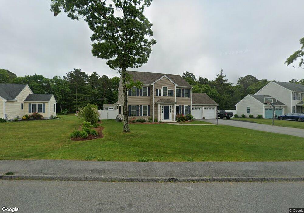
20 Settlers Way Bourne, MA 2532
Estimated Value: $743,000 - $850,000
4
Beds
4
Baths
2,288
Sq Ft
$346/Sq Ft
Est. Value
About This Home
This home is located at 20 Settlers Way, Bourne, MA 2532 and is currently estimated at $791,376, approximately $345 per square foot. 20 Settlers Way is a home located in Barnstable County with nearby schools including Bourne High School and St Margaret Regional School.
Ownership History
Date
Name
Owned For
Owner Type
Purchase Details
Closed on
Sep 5, 2014
Sold by
Pilgrim Pines Ld Llc and Hebb
Bought by
Johannessen Stephen and Johannessen Catherine
Current Estimated Value
Create a Home Valuation Report for This Property
The Home Valuation Report is an in-depth analysis detailing your home's value as well as a comparison with similar homes in the area
Home Values in the Area
Average Home Value in this Area
Purchase History
| Date | Buyer | Sale Price | Title Company |
|---|---|---|---|
| Johannessen Stephen | $432,500 | -- | |
| Johannessen Stephen | $432,500 | -- | |
| Pilgrim Pines Ld Llc | $15,459 | -- | |
| Johannessen Stephen | $432,500 | -- | |
| Johannessen Stephen | $432,500 | -- | |
| Pilgrim Pines Ld Llc | $15,459 | -- |
Source: Public Records
Tax History Compared to Growth
Tax History
| Year | Tax Paid | Tax Assessment Tax Assessment Total Assessment is a certain percentage of the fair market value that is determined by local assessors to be the total taxable value of land and additions on the property. | Land | Improvement |
|---|---|---|---|---|
| 2025 | $6,432 | $823,600 | $217,500 | $606,100 |
| 2024 | $6,290 | $784,300 | $207,100 | $577,200 |
| 2023 | $6,530 | $741,200 | $200,000 | $541,200 |
| 2022 | $5,804 | $575,200 | $177,000 | $398,200 |
| 2021 | $5,678 | $527,200 | $161,100 | $366,100 |
| 2020 | $5,532 | $515,100 | $159,500 | $355,600 |
| 2019 | $5,238 | $498,400 | $159,500 | $338,900 |
| 2018 | $4,704 | $446,300 | $152,000 | $294,300 |
| 2017 | $4,488 | $435,700 | $144,300 | $291,400 |
| 2016 | $4,160 | $409,400 | $131,700 | $277,700 |
| 2015 | $4,059 | $403,100 | $125,400 | $277,700 |
Source: Public Records
Map
Nearby Homes
- 23 Settlers Way
- 4 Knob Ln
- 18 Heather Hill Rd
- 171 Puritan Rd
- 162 Puritan Rd
- 304 Main St
- 17 Maple St
- 41 Lewis Point Rd
- 4 Mainstay Ln
- 0 Lewis Point Rd
- 38 Old Bridge Rd
- 90-92 Sandwich Rd Unit 9C
- 65 Lewis Point Rd
- 73 Lewis Point Rd
- 24 Ships View Terrace
- 27 Ships View Terrace
- 29 Weather Deck Rd
- 810 Head of The Bay Rd
- 90-92 Sandwich Rd Unit 2
- 60 Sandwich Rd
- 20 Settlers Way
- lot75/20 Settlers Way
- 18 Settlers Way
- 22 Settlers Way
- 18 Settlers Way
- 19 Settlers Way
- 19 Settlers Way
- 16 Settlers Way
- 24 Settlers Way
- 16 Settlers Way
- 24 Settlers Way
- 17 Settlers Way
- 17 Settlers Way
- 21 Settlers Way
- 21 Settlers Way
- 57 Deseret Dr
- 55 Deseret Dr
- 55 Deseret Dr
- 57 Deseret Dr
- 14 Settlers Way