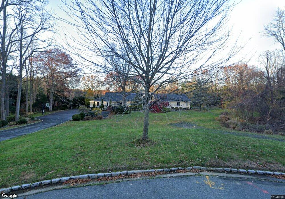
20 Shamrock Ct Syosset, NY 11791
Estimated Value: $2,500,115 - $3,038,000
--
Bed
4
Baths
5,913
Sq Ft
$468/Sq Ft
Est. Value
About This Home
This home is located at 20 Shamrock Ct, Syosset, NY 11791 and is currently estimated at $2,769,058, approximately $468 per square foot. 20 Shamrock Ct is a home located in Nassau County with nearby schools including Syosset Senior High School, St Edward Confessor School, and Our Lady of Mercy Academy.
Ownership History
Date
Name
Owned For
Owner Type
Purchase Details
Closed on
Mar 11, 2025
Sold by
Alyeshmerni Gita
Bought by
Alyeshmerni Khosrow and Alyeshmerni Gita
Current Estimated Value
Purchase Details
Closed on
Jun 1, 2013
Sold by
Alyeshmerni Khosrow and Alyeshmerni Gita
Bought by
Alyeshmerni Gita
Purchase Details
Closed on
Mar 5, 1997
Sold by
Dickson Marianne J
Bought by
Alyeshmerni Hosrow Gita
Create a Home Valuation Report for This Property
The Home Valuation Report is an in-depth analysis detailing your home's value as well as a comparison with similar homes in the area
Home Values in the Area
Average Home Value in this Area
Purchase History
| Date | Buyer | Sale Price | Title Company |
|---|---|---|---|
| Alyeshmerni Khosrow | -- | Fidelity National Ttl Ins Co | |
| Alyeshmerni Khosrow | -- | Fidelity National Ttl Ins Co | |
| Alyeshmerni Khosrow | -- | Fidelity National Ttl Ins Co | |
| Alyeshmerni Gita | -- | -- | |
| Alyeshmerni Gita | -- | -- | |
| Alyeshmerni Gita | -- | -- | |
| Alyeshmerni Hosrow Gita | $770,000 | -- | |
| Alyeshmerni Hosrow Gita | $770,000 | -- |
Source: Public Records
Tax History Compared to Growth
Tax History
| Year | Tax Paid | Tax Assessment Tax Assessment Total Assessment is a certain percentage of the fair market value that is determined by local assessors to be the total taxable value of land and additions on the property. | Land | Improvement |
|---|---|---|---|---|
| 2025 | $45,139 | $1,728 | $701 | $1,027 |
| 2024 | $5,779 | $1,820 | $738 | $1,082 |
| 2023 | $40,183 | $1,877 | $761 | $1,116 |
| 2022 | $40,183 | $2,123 | $861 | $1,262 |
| 2021 | $44,065 | $2,269 | $828 | $1,441 |
| 2020 | $46,051 | $2,862 | $1,508 | $1,354 |
| 2019 | $44,644 | $3,066 | $1,514 | $1,552 |
| 2018 | $43,337 | $3,271 | $0 | $0 |
| 2017 | $37,251 | $3,475 | $1,335 | $2,140 |
| 2016 | $44,208 | $3,344 | $1,969 | $1,375 |
| 2015 | $5,746 | $3,344 | $1,436 | $1,908 |
| 2014 | $5,746 | $3,344 | $1,436 | $1,908 |
| 2013 | $6,062 | $3,763 | $1,615 | $2,148 |
Source: Public Records
Map
Nearby Homes
- 300 Circle Rd
- 320 Circle Rd
- 353 Split Rock Rd
- 96 Calvin Ave
- 40 Somerset Place
- 69 Calvin Ave
- 541 Split Rock Rd
- 539 Split Rock Rd
- 527 Split Rock Rd
- 45 Hickman St
- 63 Church St
- 37 Church St
- 12 School House Ln
- 55 Coves Run
- 236 Berry Hill Rd
- 182 Berry Hill Rd
- 6820 N Hempstead Turnpike
- 23 Arizona Ave
- 1101 Jericho Oyster Road
- 8 Lucille Dr