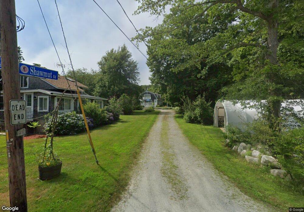
20 Shawmut Rd Mattapoisett, MA 02739
Estimated Value: $952,000 - $1,103,000
4
Beds
3
Baths
2,924
Sq Ft
$346/Sq Ft
Est. Value
About This Home
This home is located at 20 Shawmut Rd, Mattapoisett, MA 02739 and is currently estimated at $1,012,446, approximately $346 per square foot. 20 Shawmut Rd is a home located in Plymouth County with nearby schools including Center School, Old Hammondtown Elementary, and Old Rochester Regional High School.
Ownership History
Date
Name
Owned For
Owner Type
Purchase Details
Closed on
Apr 22, 2014
Sold by
Dawson John and Dawson Elizabeth A
Bought by
20 Shawmut Road Rt and Dawson
Current Estimated Value
Purchase Details
Closed on
Aug 17, 1998
Sold by
Olliff Thomas E and Olliff Edna J
Bought by
Dawson John and Dawson Elizabeth A
Home Financials for this Owner
Home Financials are based on the most recent Mortgage that was taken out on this home.
Original Mortgage
$200,000
Interest Rate
6.94%
Mortgage Type
Purchase Money Mortgage
Create a Home Valuation Report for This Property
The Home Valuation Report is an in-depth analysis detailing your home's value as well as a comparison with similar homes in the area
Home Values in the Area
Average Home Value in this Area
Purchase History
| Date | Buyer | Sale Price | Title Company |
|---|---|---|---|
| 20 Shawmut Road Rt | -- | -- | |
| 20 Shawmut Road Rt | -- | -- | |
| Dawson John | $273,100 | -- | |
| Dawson John | $273,100 | -- |
Source: Public Records
Mortgage History
| Date | Status | Borrower | Loan Amount |
|---|---|---|---|
| Previous Owner | Dawson John | $60,000 | |
| Previous Owner | Dawson John | $192,000 | |
| Previous Owner | Dawson John | $200,000 |
Source: Public Records
Tax History Compared to Growth
Tax History
| Year | Tax Paid | Tax Assessment Tax Assessment Total Assessment is a certain percentage of the fair market value that is determined by local assessors to be the total taxable value of land and additions on the property. | Land | Improvement |
|---|---|---|---|---|
| 2025 | $8,362 | $777,100 | $277,900 | $499,200 |
| 2024 | $8,167 | $777,100 | $277,900 | $499,200 |
| 2023 | $8,132 | $722,873 | $248,273 | $474,600 |
| 2022 | $8,518 | $686,929 | $206,929 | $480,000 |
| 2021 | $7,995 | $616,900 | $229,100 | $387,800 |
| 2020 | $7,409 | $549,256 | $196,956 | $352,300 |
| 2019 | $7,199 | $545,000 | $199,800 | $345,200 |
| 2018 | $7,507 | $576,600 | $217,900 | $358,700 |
| 2017 | $6,953 | $532,000 | $205,400 | $326,600 |
| 2016 | $6,927 | $524,800 | $205,400 | $319,400 |
| 2015 | $6,813 | $524,100 | $215,400 | $308,700 |
| 2014 | $6,309 | $496,000 | $205,600 | $290,400 |
Source: Public Records
Map
Nearby Homes
- 7 Mattakiset Rd
- 0 Marina Dr Unit 72497908
- 0 Marina Dr Unit 72497877
- 0 Harbor Acres Ln - Lot B
- 6 Meadowbrook Ln
- 41 Starboard Way
- 28 Brandt Beach Ave
- 1 Starboard Way
- 0 Whalers Way
- 15 Ned's Point Rd
- 6 Ocean Breeze Ln
- 1 Angelica Ave
- 7 Pearl St
- 12 Cannon St
- 11 Captains Ln
- 8 Captains Ln
- 3 Rock St
- 8 Channel St
- 47 Fairhaven Rd
- 35 North St
- 24 Sagamore Rd
- 4 Samoset Rd
- 26 Sagamore Rd
- 26 Sagamore Rd Unit Winter
- 28 Sagamore Rd
- 23 Sagamore Rd
- 27 Sagamore Rd
- 27 Sagamore Road (Winter Rental) Unit 1
- 27 Sagamore Rd Unit 1
- 27 Sagamore Rd
- 24 Mattakiset Rd
- 20 Sagamore Rd
- 18 Antassawamock Rd
- 27 Sagamore Rd Unit 1
- 27 Sagamore Rd Unit 1
- 26 Mattakiset Rd
- 19 Sagamore Rd
- 18 Sagamore Rd
- 14 Antassawamock Rd
- 25 Mattakiset Rd