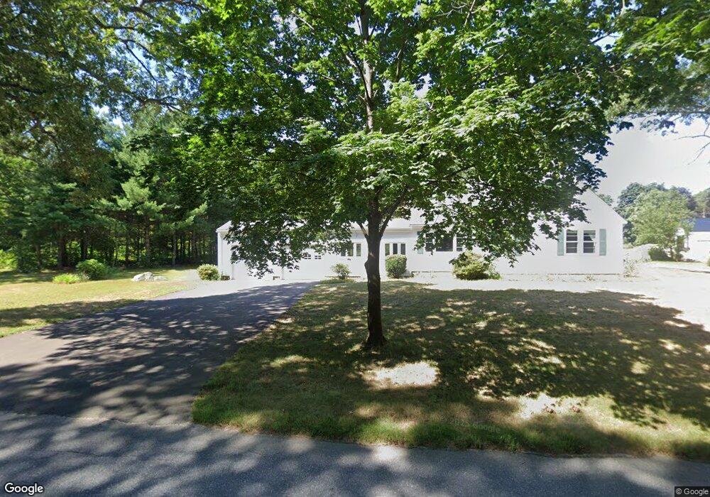
20 Slater St Rehoboth, MA 02769
Estimated Value: $516,445 - $611,000
4
Beds
2
Baths
1,703
Sq Ft
$332/Sq Ft
Est. Value
About This Home
This home is located at 20 Slater St, Rehoboth, MA 02769 and is currently estimated at $564,861, approximately $331 per square foot. 20 Slater St is a home located in Bristol County with nearby schools including Dighton-Rehoboth Regional High School, Grace Baptist Christian Academy, and The Pinecroft School.
Ownership History
Date
Name
Owned For
Owner Type
Purchase Details
Closed on
May 15, 2019
Sold by
Brander Elanor M
Bought by
Brander Diane
Current Estimated Value
Purchase Details
Closed on
Jul 1, 1967
Bought by
Brander Lester E and Brander Eleanor M
Create a Home Valuation Report for This Property
The Home Valuation Report is an in-depth analysis detailing your home's value as well as a comparison with similar homes in the area
Home Values in the Area
Average Home Value in this Area
Purchase History
| Date | Buyer | Sale Price | Title Company |
|---|---|---|---|
| Brander Diane | -- | -- | |
| Brander Lester E | -- | -- |
Source: Public Records
Tax History Compared to Growth
Tax History
| Year | Tax Paid | Tax Assessment Tax Assessment Total Assessment is a certain percentage of the fair market value that is determined by local assessors to be the total taxable value of land and additions on the property. | Land | Improvement |
|---|---|---|---|---|
| 2025 | $44 | $397,600 | $172,800 | $224,800 |
| 2024 | $4,135 | $364,000 | $172,800 | $191,200 |
| 2023 | $4,008 | $362,800 | $169,200 | $193,600 |
| 2022 | $4,008 | $316,300 | $169,200 | $147,100 |
| 2021 | $4,085 | $308,500 | $161,400 | $147,100 |
| 2020 | $3,983 | $303,600 | $161,400 | $142,200 |
| 2018 | $3,265 | $272,800 | $153,600 | $119,200 |
| 2017 | $3,220 | $256,400 | $153,600 | $102,800 |
| 2016 | $3,056 | $251,500 | $153,600 | $97,900 |
| 2015 | $3,250 | $264,000 | $146,400 | $117,600 |
| 2014 | $3,090 | $248,400 | $139,200 | $109,200 |
Source: Public Records
Map
Nearby Homes
- 99 Brigham Hill Rd
- 240 Smith St
- 2 Round Farm Rd
- 1 Round Farm Rd
- 48 Round Farm Rd
- 8 Kasmira Way
- 58 Peck St
- 14 Tremont St
- 45 Spruce Ln
- 4 Colonial Dr Unit 4
- 3 Wilmarth St
- 8 Preservation Way
- 29 & 43 Francis St
- 84 Fairview Ave
- 730 Pike Ave
- 73 Butterworth Dr
- 27 Run Brook Cir
- 36 Catherine Dr
- 64 Ridgehill Rd
- 127 John Scott Blvd