20 Smith Farm Rd Weston, CT 06883
Estimated Value: $1,370,000 - $1,839,000
5
Beds
4
Baths
4,818
Sq Ft
$339/Sq Ft
Est. Value
About This Home
This home is located at 20 Smith Farm Rd, Weston, CT 06883 and is currently estimated at $1,631,943, approximately $338 per square foot. 20 Smith Farm Rd is a home located in Fairfield County with nearby schools including Hurlbutt Elementary School, Weston Intermediate School, and Weston Middle School.
Ownership History
Date
Name
Owned For
Owner Type
Purchase Details
Closed on
Dec 26, 2021
Sold by
Zhuk Igor and Zhuk Regina
Bought by
22 Sfr Llc
Current Estimated Value
Purchase Details
Closed on
Feb 20, 2001
Sold by
Singer Alik
Bought by
Zhuk Igor and Zhuk Regina
Create a Home Valuation Report for This Property
The Home Valuation Report is an in-depth analysis detailing your home's value as well as a comparison with similar homes in the area
Home Values in the Area
Average Home Value in this Area
Purchase History
| Date | Buyer | Sale Price | Title Company |
|---|---|---|---|
| 22 Sfr Llc | -- | None Available | |
| Zhuk Igor | $730,000 | -- |
Source: Public Records
Mortgage History
| Date | Status | Borrower | Loan Amount |
|---|---|---|---|
| Previous Owner | Zhuk Igor | $511,750 | |
| Previous Owner | Zhuk Igor | $105,000 | |
| Previous Owner | Zhuk Igor | $545,000 | |
| Previous Owner | Zhuk Igor | $520,000 |
Source: Public Records
Tax History
| Year | Tax Paid | Tax Assessment Tax Assessment Total Assessment is a certain percentage of the fair market value that is determined by local assessors to be the total taxable value of land and additions on the property. | Land | Improvement |
|---|---|---|---|---|
| 2025 | $19,365 | $810,250 | $207,200 | $603,050 |
| 2024 | $19,017 | $810,250 | $207,200 | $603,050 |
| 2023 | $16,714 | $505,560 | $207,200 | $298,360 |
| 2022 | $16,668 | $505,560 | $207,200 | $298,360 |
| 2021 | $16,643 | $505,560 | $207,200 | $298,360 |
| 2020 | $16,365 | $505,560 | $207,200 | $298,360 |
| 2019 | $16,365 | $505,560 | $207,200 | $298,360 |
| 2018 | $16,391 | $557,700 | $231,800 | $325,900 |
| 2017 | $16,123 | $557,700 | $231,800 | $325,900 |
| 2016 | $15,928 | $557,700 | $231,800 | $325,900 |
| 2015 | $15,989 | $557,700 | $231,800 | $325,900 |
| 2014 | $15,749 | $557,700 | $231,800 | $325,900 |
Source: Public Records
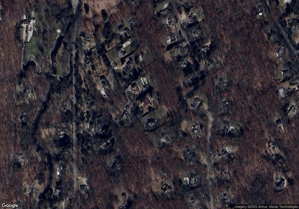
Map
Nearby Homes
- 274 Lyons Plain Rd
- 39 Tannery Ln S
- 10 Pheasant Hill Rd
- 85-95 Old Easton Turnpike
- 214 Good Hill Rd
- 4 Colony Rd
- 1375 Westport Turnpike
- 14 Codfish Ln
- 11 Judges Hollow Rd
- 198 Steep Hill Rd
- 1 Greenlea Ln
- 140 Mile Common Rd
- 76 Lords Hwy
- 319 Bayberry Ln
- 103 Davis Hill Rd
- 180 Catamount Rd
- 30 Lords Hwy
- 475 Fence Row Dr
- 158 Coventry Ln
- 200 Long Meadow Rd
- 22 Smith Farm Rd
- 14 Smith Farm Rd
- 11 Smith Farm Rd
- 34 Silver Ridge Common
- 10 Smith Farm Rd
- 5 Smith Farm Rd
- 42 Silver Ridge Common
- 53 Blueberry Hill Rd
- 55 Blueberry Hill Rd
- 38 Silver Ridge Common
- 207 Lyons Plain Rd
- 197 Lyons Plain Rd
- 201 Lyons Plain Rd
- 51 Blueberry Hill Rd
- 6 Smith Ridge
- #6 Smith Ridge
- 6 Smith Farm Rd
- 32 Silver Ridge Common
- 47 Blueberry Hill Rd
- 193 Lyons Plain Rd
Your Personal Tour Guide
Ask me questions while you tour the home.