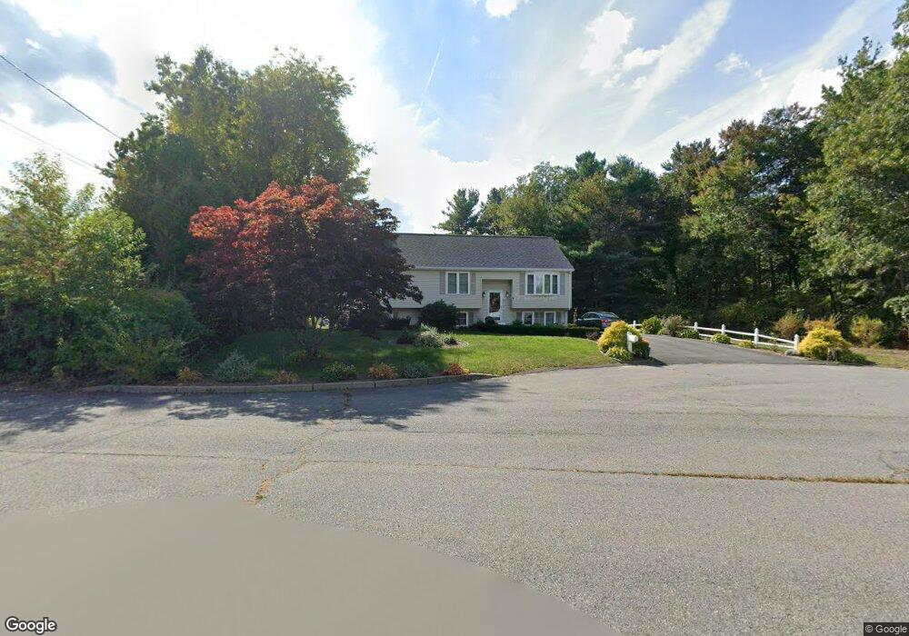
20 Sparrow Cir Taunton, MA 02780
Whittenton Junction NeighborhoodEstimated Value: $444,000 - $509,000
3
Beds
2
Baths
1,132
Sq Ft
$424/Sq Ft
Est. Value
About This Home
This home is located at 20 Sparrow Cir, Taunton, MA 02780 and is currently estimated at $480,089, approximately $424 per square foot. 20 Sparrow Cir is a home located in Bristol County with nearby schools including Mulcahey Elementary School, Benjamin Friedman Middle School, and Taunton High School.
Ownership History
Date
Name
Owned For
Owner Type
Purchase Details
Closed on
Jul 27, 1994
Sold by
Jamestown Bldrs Inc
Bought by
Oliveira Silvino and Oliveira Lucia M
Current Estimated Value
Home Financials for this Owner
Home Financials are based on the most recent Mortgage that was taken out on this home.
Original Mortgage
$114,380
Interest Rate
8.25%
Mortgage Type
Purchase Money Mortgage
Create a Home Valuation Report for This Property
The Home Valuation Report is an in-depth analysis detailing your home's value as well as a comparison with similar homes in the area
Home Values in the Area
Average Home Value in this Area
Purchase History
| Date | Buyer | Sale Price | Title Company |
|---|---|---|---|
| Oliveira Silvino | $120,400 | -- |
Source: Public Records
Mortgage History
| Date | Status | Borrower | Loan Amount |
|---|---|---|---|
| Open | Oliveira Silvino | $123,800 | |
| Closed | Oliveira Silvino | $112,000 | |
| Closed | Oliveira Silvino | $114,380 |
Source: Public Records
Tax History Compared to Growth
Tax History
| Year | Tax Paid | Tax Assessment Tax Assessment Total Assessment is a certain percentage of the fair market value that is determined by local assessors to be the total taxable value of land and additions on the property. | Land | Improvement |
|---|---|---|---|---|
| 2025 | $4,989 | $456,000 | $139,500 | $316,500 |
| 2024 | $4,573 | $408,700 | $139,500 | $269,200 |
| 2023 | $4,648 | $385,700 | $145,900 | $239,800 |
| 2022 | $4,355 | $330,400 | $113,100 | $217,300 |
| 2021 | $4,102 | $288,900 | $102,800 | $186,100 |
| 2020 | $4,011 | $269,900 | $102,800 | $167,100 |
| 2019 | $4,151 | $263,400 | $102,800 | $160,600 |
| 2018 | $3,961 | $252,000 | $103,900 | $148,100 |
| 2017 | $3,708 | $236,000 | $98,400 | $137,600 |
| 2016 | $3,577 | $228,100 | $95,600 | $132,500 |
| 2015 | $3,437 | $229,000 | $96,500 | $132,500 |
| 2014 | $3,321 | $227,300 | $96,500 | $130,800 |
Source: Public Records
Map
Nearby Homes
- 17 Davis St
- 0 Norton Ave Unit 73445127
- 22 Southway
- 137 Tremont St
- 2 Upland Rd
- 79 Fremont St
- 20 Grand Ave
- 108 Tremont St
- 99 Tremont St
- 110 Eldridge St Unit B
- 214 Eldridge St
- 55 Highland Ave
- 25 Quequechan Rd
- 45 Fisher St
- 8 N Walker St
- 26 Kilmer Ave
- 96 Danforth St Unit 49
- 193 Fremont St
- 16 Hunter St Unit A
- 16 Kilton St
- 10 Sparrow Cir
- 29 Barnswallow Cir
- 17 Barnswallow Cir
- 23 Sparrow Cir
- 7 Barnswallow Cir
- 9 Sparrow Cir
- 196 Tremont St
- 54 Downing Dr
- 44 Downing Dr
- 4 Barnswallow Cir
- 198 Tremont St
- 34 Downing Dr
- 64 Downing Dr
- 30 Barnswallow Cir
- 20 Barnswallow Cir
- 24 Downing Dr
- 74 Downing Dr
- 202 Tremont St
- 200 Tremont St
- 91 Downing Dr