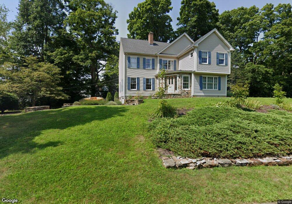
20 Spruce Hill Dr Guilford, CT 06437
Estimated Value: $683,000 - $834,000
4
Beds
3
Baths
2,926
Sq Ft
$255/Sq Ft
Est. Value
About This Home
This home is located at 20 Spruce Hill Dr, Guilford, CT 06437 and is currently estimated at $747,002, approximately $255 per square foot. 20 Spruce Hill Dr is a home located in New Haven County with nearby schools including A. Baldwin Middle School, E.C. Adams Middle School, and Guilford High School.
Ownership History
Date
Name
Owned For
Owner Type
Purchase Details
Closed on
Jun 28, 1996
Sold by
Pmc Design Build Inc
Bought by
Brocksieper George O and Brocksieper Mary S
Current Estimated Value
Home Financials for this Owner
Home Financials are based on the most recent Mortgage that was taken out on this home.
Original Mortgage
$171,500
Interest Rate
6.75%
Mortgage Type
Unknown
Create a Home Valuation Report for This Property
The Home Valuation Report is an in-depth analysis detailing your home's value as well as a comparison with similar homes in the area
Home Values in the Area
Average Home Value in this Area
Purchase History
| Date | Buyer | Sale Price | Title Company |
|---|---|---|---|
| Brocksieper George O | $219,130 | -- |
Source: Public Records
Mortgage History
| Date | Status | Borrower | Loan Amount |
|---|---|---|---|
| Open | Brocksieper George O | $170,000 | |
| Closed | Brocksieper George O | $180,000 | |
| Closed | Brocksieper George O | $135,000 | |
| Closed | Brocksieper George O | $171,500 |
Source: Public Records
Tax History Compared to Growth
Tax History
| Year | Tax Paid | Tax Assessment Tax Assessment Total Assessment is a certain percentage of the fair market value that is determined by local assessors to be the total taxable value of land and additions on the property. | Land | Improvement |
|---|---|---|---|---|
| 2025 | $10,490 | $379,400 | $178,640 | $200,760 |
| 2024 | $10,084 | $379,400 | $178,640 | $200,760 |
| 2023 | $9,819 | $379,400 | $178,640 | $200,760 |
| 2022 | $9,140 | $274,890 | $159,660 | $115,230 |
| 2021 | $8,967 | $274,890 | $159,660 | $115,230 |
| 2020 | $8,882 | $274,890 | $159,660 | $115,230 |
| 2019 | $8,805 | $274,890 | $159,660 | $115,230 |
| 2018 | $8,599 | $274,890 | $159,660 | $115,230 |
| 2017 | $8,494 | $289,320 | $163,870 | $125,450 |
| 2016 | $8,295 | $289,320 | $163,870 | $125,450 |
| 2015 | $8,170 | $289,320 | $163,870 | $125,450 |
| 2014 | $7,933 | $289,320 | $163,870 | $125,450 |
Source: Public Records
Map
Nearby Homes
- 0 Tamarack Ln Unit Lot 23 24071362
- 0 Tamarack Ln Unit Lot 19 24071360
- 38 Dinwoodie Dr
- 131 Elm St
- 1011 Route 80
- 1498 Little Meadow Rd
- 2865 Long Hill Rd
- 1270 Durham Rd
- 604 W Lake Ave
- 36 Water Lily Ln
- 77 Pinebrook Cir
- 21 Lasalette Way
- 154 Wilburs Ln
- 15 Pomps Ln
- 249 Wilderwood Dr
- 15 Briarwood Dr
- 95 Joseph Dr
- 221 Northwood Dr
- 241 Jefferson Dr
- 54 Coachlamp Ln
- 2219 Long Hill Rd
- 2235 Long Hill Rd
- 40 Spruce Hill Dr
- 2243 Long Hill Rd
- 2214 Long Hill Rd
- 52 Spruce Hill Dr
- 2184 Long Hill Rd
- 2240 Long Hill Rd
- 2161 Long Hill Rd
- 2174 Long Hill Rd
- 2261 Long Hill Rd
- 2194 Long Hill Rd
- 2265 Long Hill Rd
- 2258 Long Hill Rd
- 2177 Long Hill Rd
- 2199 Long Hill Rd
- 2269 Long Hill Rd
- 72 Spruce Hill Dr
- 2117 Long Hill Rd
- 2272 Long Hill Rd