20 St Pierre Cir Turner, ME 04282
Estimated Value: $295,000 - $392,000
--
Bed
--
Bath
720
Sq Ft
$467/Sq Ft
Est. Value
About This Home
This home is located at 20 St Pierre Cir, Turner, ME 04282 and is currently estimated at $335,934, approximately $466 per square foot. 20 St Pierre Cir is a home with nearby schools including Tripp Middle School, Leavitt Area High School, and Calvary Christian Academy.
Ownership History
Date
Name
Owned For
Owner Type
Purchase Details
Closed on
Aug 14, 2019
Sold by
Stpierre Philip N
Bought by
Henault Liana M and Henault Marc D
Current Estimated Value
Purchase Details
Closed on
Feb 19, 2008
Sold by
Russell Dale and Stgermain Monique
Bought by
Stpierre Philip N and Stpierre Philip
Home Financials for this Owner
Home Financials are based on the most recent Mortgage that was taken out on this home.
Original Mortgage
$90,000
Interest Rate
6.18%
Mortgage Type
Unknown
Create a Home Valuation Report for This Property
The Home Valuation Report is an in-depth analysis detailing your home's value as well as a comparison with similar homes in the area
Home Values in the Area
Average Home Value in this Area
Purchase History
| Date | Buyer | Sale Price | Title Company |
|---|---|---|---|
| Henault Liana M | -- | -- | |
| Stpierre Philip N | $1,001 | -- |
Source: Public Records
Mortgage History
| Date | Status | Borrower | Loan Amount |
|---|---|---|---|
| Previous Owner | Stpierre Philip N | $90,000 |
Source: Public Records
Tax History Compared to Growth
Tax History
| Year | Tax Paid | Tax Assessment Tax Assessment Total Assessment is a certain percentage of the fair market value that is determined by local assessors to be the total taxable value of land and additions on the property. | Land | Improvement |
|---|---|---|---|---|
| 2025 | $2,116 | $155,600 | $60,300 | $95,300 |
| 2024 | $1,984 | $155,600 | $60,300 | $95,300 |
| 2023 | $1,953 | $155,600 | $60,300 | $95,300 |
| 2022 | $1,774 | $155,600 | $60,300 | $95,300 |
| 2021 | $1,774 | $155,600 | $60,300 | $95,300 |
| 2020 | $2,908 | $108,200 | $37,300 | $70,900 |
| 2019 | $2,908 | $120,100 | $44,000 | $76,100 |
| 2018 | $2,132 | $120,100 | $44,000 | $76,100 |
| 2016 | $2,025 | $120,100 | $44,000 | $76,100 |
| 2015 | $1,910 | $120,100 | $44,000 | $76,100 |
| 2014 | $1,886 | $120,100 | $44,000 | $76,100 |
| 2013 | $1,799 | $120,100 | $44,000 | $76,100 |
Source: Public Records
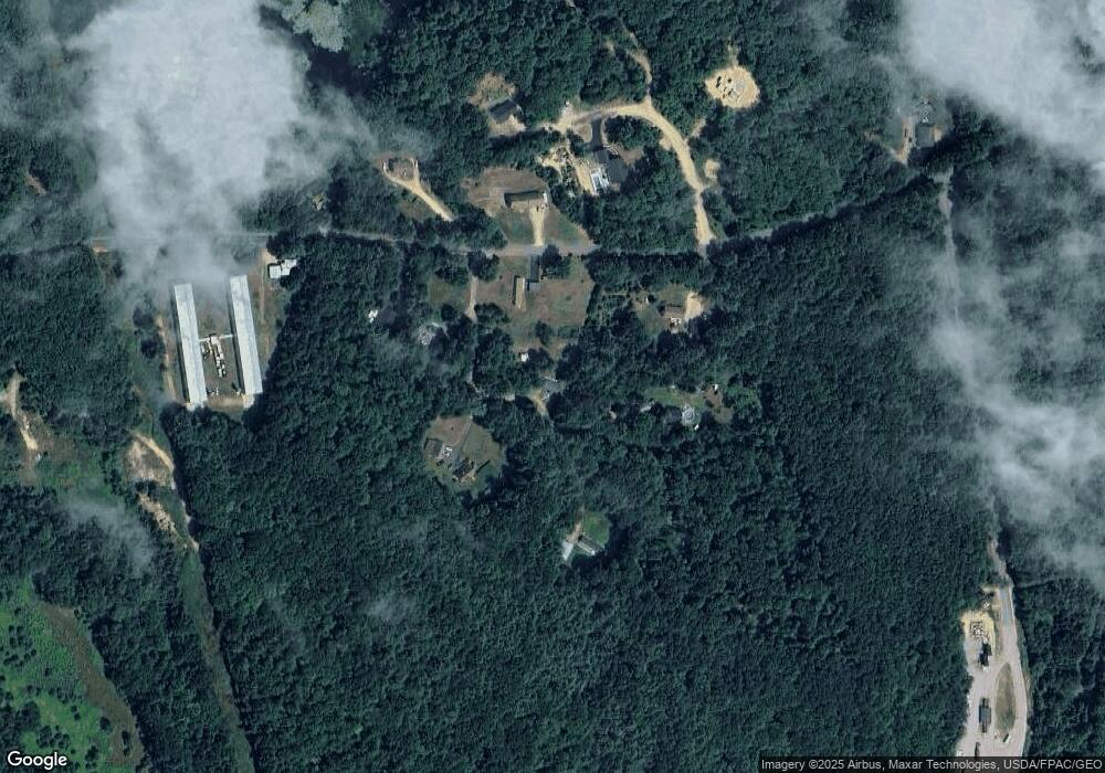
Map
Nearby Homes
- 14 Shire
- 50 Magnum Dr
- 1 Long Meadow Estates
- 28-1 Auburn Rd
- Lot 21 Auburn Rd
- Lot21&22 Auburn Rd
- 33-028 Auburn Rd
- Lot 18&19 Lower St
- 5 Deer Run
- 3 Sunset Ln
- 640 Lower St
- 15 Seaward Rd
- 3 Gabriel's Way
- 291 Little Wilson Pond Rd
- TBD Skillings Woods Rd
- 175 S Hill Rd
- 60 Back Bryant Rd
- 89 Hebron Rd
- 987 Upper St
- 8-3 Turner St
- 146 Snell Hill Rd
- 0 Saint Pierre Cir
- 39 St Pierre Cir
- 7 St Pierre Cir
- 15 St Pierre Cir
- 125 Snell Hill Rd
- 189 Snell Hill Rd
- 190 Snell Hill Rd
- 107 Snell Hill Rd
- 199 Snell Hill Rd
- 98 Snell Hill Rd
- 207 Snell Hill Rd
- 87 Snell Hill Rd
- 73 Snell Hill Rd
- 10 Rockameka Ln
- 17 Kay's Way
- 65 Snell Hill Rd
- 60 Snell Hill Rd
- 47 Snell Hill Rd
- 22 Shire Ln