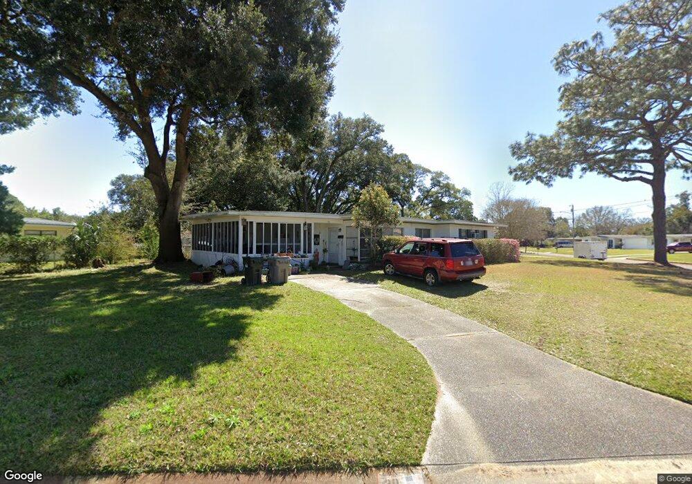
20 Stetson Rd Pensacola, FL 32506
Estimated Value: $121,808 - $169,000
--
Bed
2
Baths
1,173
Sq Ft
$131/Sq Ft
Est. Value
About This Home
This home is located at 20 Stetson Rd, Pensacola, FL 32506 and is currently estimated at $153,202, approximately $130 per square foot. 20 Stetson Rd is a home located in Escambia County with nearby schools including West Pensacola Elementary School, Warrington Middle School, and Escambia High School.
Ownership History
Date
Name
Owned For
Owner Type
Purchase Details
Closed on
Sep 14, 2015
Sold by
Brunegraff Bernard O and Estate Of Bernard O Brunegraff
Bought by
Brunegraff Flores Mary and Flores William Patrick
Current Estimated Value
Purchase Details
Closed on
Sep 11, 2015
Sold by
Cook Hope and Estate Of Bernard O Brunegraff
Bought by
Flores Mary Brunegraff and Flores William Patrick
Purchase Details
Closed on
Sep 5, 2015
Sold by
Brunegraff Lisa A and Estate Of Bernard O Brunegraff
Bought by
Brunegraff Flores Mary and Flores William Patrick
Create a Home Valuation Report for This Property
The Home Valuation Report is an in-depth analysis detailing your home's value as well as a comparison with similar homes in the area
Home Values in the Area
Average Home Value in this Area
Purchase History
| Date | Buyer | Sale Price | Title Company |
|---|---|---|---|
| Brunegraff Flores Mary | -- | Partnership Title Co Llc | |
| Flores Mary Brunegraff | -- | Partnership Title Co Llc | |
| Brunegraff Flores Mary | $6,300 | Partnership Title Co Llc |
Source: Public Records
Tax History Compared to Growth
Tax History
| Year | Tax Paid | Tax Assessment Tax Assessment Total Assessment is a certain percentage of the fair market value that is determined by local assessors to be the total taxable value of land and additions on the property. | Land | Improvement |
|---|---|---|---|---|
| 2024 | $1,258 | $103,790 | $20,000 | $83,790 |
| 2023 | $1,258 | $80,303 | $0 | $0 |
| 2022 | $1,164 | $84,437 | $10,000 | $74,437 |
| 2021 | $1,051 | $67,606 | $0 | $0 |
| 2020 | $947 | $60,334 | $0 | $0 |
| 2019 | $907 | $56,912 | $0 | $0 |
| 2018 | $906 | $55,679 | $0 | $0 |
| 2017 | $865 | $51,638 | $0 | $0 |
| 2016 | $858 | $50,292 | $0 | $0 |
| 2015 | $409 | $45,896 | $0 | $0 |
| 2014 | $393 | $45,532 | $0 | $0 |
Source: Public Records
Map
Nearby Homes
- 1416 N 48th Ave
- 35 Pen Haven Dr
- 110 Tomahawk Trail
- 41 Pen Haven Dr
- 18 Besma Dr
- 33 Nottingham Way
- 5006 W Fairfield Dr
- 39 Randolph Dr
- 104 Cherokee Trail
- 14 Nottingham Way
- 19 Gamwell Rd
- 7 1/2 Talladega Trail
- 32 Bertram St
- 4957 Elsa Ave
- 5120 W Fairfield Dr
- 4639 Wabash Ave
- 5015 Lillian Hwy
- 5007 Lillian Hwy
- 1121 N 50th Ave
- 1106 N 50th Ave
- 41 Stetson Rd
- 0 Stetson Rd
- 50 Stetson Rd
- 101 Vanderbilt Rd
- 111 Vanderbilt Rd
- 11 Stetson Rd
- 21 Stetson Rd
- 60 Stetson Rd
- 31 Stetson Rd
- 0 Vanderbilt Rd
- 51 Stetson Rd
- 21 Vanderbilt Rd
- 121 Vanderbilt Rd
- 61 Stetson Rd
- 70 Stetson Rd
- 4631 W Fairfield Dr
- 4621 W Fairfield Dr
- 131 Vanderbilt Rd
- 30 Stanford Rd
- 100 Vanderbilt Rd