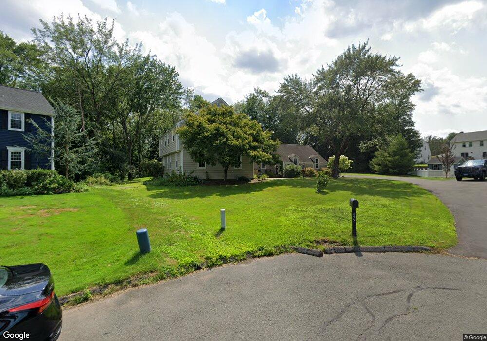
20 Stockade Cir Wethersfield, CT 06109
Estimated Value: $574,000 - $769,000
4
Beds
3
Baths
2,418
Sq Ft
$265/Sq Ft
Est. Value
About This Home
This home is located at 20 Stockade Cir, Wethersfield, CT 06109 and is currently estimated at $640,047, approximately $264 per square foot. 20 Stockade Cir is a home located in Hartford County with nearby schools including Highcrest School, Silas Deane Middle School, and Wethersfield High School.
Ownership History
Date
Name
Owned For
Owner Type
Purchase Details
Closed on
Feb 6, 2009
Sold by
Okeefe Michael D
Bought by
Capone Claudio and Sinha Elise
Current Estimated Value
Home Financials for this Owner
Home Financials are based on the most recent Mortgage that was taken out on this home.
Original Mortgage
$328,000
Interest Rate
5.2%
Purchase Details
Closed on
Nov 28, 2000
Sold by
Tully Diane M
Bought by
Okeefe Michael D
Create a Home Valuation Report for This Property
The Home Valuation Report is an in-depth analysis detailing your home's value as well as a comparison with similar homes in the area
Home Values in the Area
Average Home Value in this Area
Purchase History
| Date | Buyer | Sale Price | Title Company |
|---|---|---|---|
| Capone Claudio | $462,000 | -- | |
| Okeefe Michael D | $265,500 | -- |
Source: Public Records
Mortgage History
| Date | Status | Borrower | Loan Amount |
|---|---|---|---|
| Open | Okeefe Michael D | $310,000 | |
| Closed | Okeefe Michael D | $328,000 | |
| Previous Owner | Okeefe Michael D | $145,000 |
Source: Public Records
Tax History
| Year | Tax Paid | Tax Assessment Tax Assessment Total Assessment is a certain percentage of the fair market value that is determined by local assessors to be the total taxable value of land and additions on the property. | Land | Improvement |
|---|---|---|---|---|
| 2025 | $17,414 | $422,460 | $115,010 | $307,450 |
| 2024 | $12,025 | $278,220 | $89,600 | $188,620 |
| 2023 | $11,624 | $278,220 | $89,600 | $188,620 |
| 2022 | $10,416 | $253,550 | $89,600 | $163,950 |
| 2021 | $10,312 | $253,550 | $89,600 | $163,950 |
| 2020 | $10,016 | $246,150 | $89,600 | $156,550 |
| 2019 | $10,028 | $246,150 | $89,600 | $156,550 |
| 2018 | $9,620 | $235,900 | $89,300 | $146,600 |
| 2017 | $9,382 | $235,900 | $89,300 | $146,600 |
| 2016 | $9,092 | $235,900 | $89,300 | $146,600 |
| 2015 | $9,009 | $235,900 | $89,300 | $146,600 |
| 2014 | $8,667 | $235,900 | $89,300 | $146,600 |
Source: Public Records
Map
Nearby Homes
- 268 Fox Hill Rd
- 155 Old Common Rd
- 25 Heather Hill
- 5 Robeth Ln
- 18 Stone Hill Dr
- 101 Collier Rd
- 0 Collier Rd
- 6 Vinnie Dr
- 8 Stella Dr
- 61 Luca Ln
- 76 Luca Lane Homesite 8
- 9 Dogwood Ct
- 312 Carlton Ln Unit 312
- 138 Cypress Rd Unit 138
- 229 Cottonwood Rd Unit 229
- 39 Denyelle Dr Unit 39
- 72 Concord Dr
- 50 Concord Dr Unit 50
- 378 Cypress Rd
- 89 Merriman Rd
- 24 Stockade Cir
- 15 Sage Rd
- 16 Stockade Cir
- 270 Highcrest Rd
- 19 Sage Rd
- 278 Highcrest Rd
- 262 Highcrest Rd
- 25 Stockade Cir
- 21 Stockade Cir
- 286 Highcrest Rd
- 8 Stockade Cir
- 254 Highcrest Rd
- 20 Sage Rd
- 60 Lantern Ln
- 16 Sage Rd
- 5 Goff Brook Cir
- 6 Goff Brook Cir
- 298 Highcrest Rd
- 24 Lantern Ln
- 14 Lantern Ln
Your Personal Tour Guide
Ask me questions while you tour the home.