20 Stone Root Ln Sudbury, MA 01776
Estimated Value: $1,344,000 - $1,535,000
4
Beds
3
Baths
3,710
Sq Ft
$385/Sq Ft
Est. Value
About This Home
This home is located at 20 Stone Root Ln, Sudbury, MA 01776 and is currently estimated at $1,428,020, approximately $384 per square foot. 20 Stone Root Ln is a home located in Middlesex County with nearby schools including Josiah Haynes Elementary School, Ephraim Curtis Middle School, and Lincoln-Sudbury Regional High School.
Ownership History
Date
Name
Owned For
Owner Type
Purchase Details
Closed on
May 11, 2015
Sold by
Pirani Karim and Pirani Susan
Bought by
Pirani Ft and Pirani
Current Estimated Value
Purchase Details
Closed on
Nov 10, 2011
Sold by
Griswold Pamela V and Griswold Thomas M
Bought by
Griswold Pamela V
Purchase Details
Closed on
Mar 7, 2003
Sold by
137 Stone Root Lane Nt and Zurbrigg
Bought by
Zurbrigg C Kenneth C and Zurbrigg Linda E
Home Financials for this Owner
Home Financials are based on the most recent Mortgage that was taken out on this home.
Original Mortgage
$200,000
Interest Rate
5.95%
Mortgage Type
Purchase Money Mortgage
Purchase Details
Closed on
Jun 27, 1997
Sold by
Morrison Charles S and Morrison Nancy W
Bought by
Griswold Thomas M and Griswold Pamela
Purchase Details
Closed on
Jul 1, 1991
Sold by
Scialabba Samuel J and Scialabba Nancy H
Bought by
Morrison Charles S and Morrison Nancy W
Create a Home Valuation Report for This Property
The Home Valuation Report is an in-depth analysis detailing your home's value as well as a comparison with similar homes in the area
Home Values in the Area
Average Home Value in this Area
Purchase History
| Date | Buyer | Sale Price | Title Company |
|---|---|---|---|
| Pirani Ft | -- | -- | |
| Griswold Pamela V | -- | -- | |
| Zurbrigg C Kenneth C | -- | -- | |
| Griswold Thomas M | $430,000 | -- | |
| Griswold Thomas M | $430,000 | -- | |
| Morrison Charles S | $352,000 | -- |
Source: Public Records
Mortgage History
| Date | Status | Borrower | Loan Amount |
|---|---|---|---|
| Previous Owner | Morrison Charles S | $360,000 | |
| Previous Owner | Zurbrigg C Kenneth C | $200,000 | |
| Previous Owner | Morrison Charles S | $80,000 |
Source: Public Records
Tax History Compared to Growth
Tax History
| Year | Tax Paid | Tax Assessment Tax Assessment Total Assessment is a certain percentage of the fair market value that is determined by local assessors to be the total taxable value of land and additions on the property. | Land | Improvement |
|---|---|---|---|---|
| 2025 | $18,662 | $1,274,700 | $504,200 | $770,500 |
| 2024 | $17,986 | $1,231,100 | $489,800 | $741,300 |
| 2023 | $16,669 | $1,057,000 | $437,800 | $619,200 |
| 2022 | $16,232 | $899,300 | $401,800 | $497,500 |
| 2021 | $15,384 | $817,000 | $401,800 | $415,200 |
| 2020 | $15,074 | $817,000 | $401,800 | $415,200 |
| 2019 | $14,632 | $817,000 | $401,800 | $415,200 |
| 2018 | $14,437 | $805,200 | $427,400 | $377,800 |
| 2017 | $14,155 | $797,900 | $423,800 | $374,100 |
| 2016 | $13,717 | $770,600 | $407,800 | $362,800 |
| 2015 | $12,950 | $735,800 | $380,500 | $355,300 |
| 2014 | $12,931 | $717,200 | $369,400 | $347,800 |
Source: Public Records
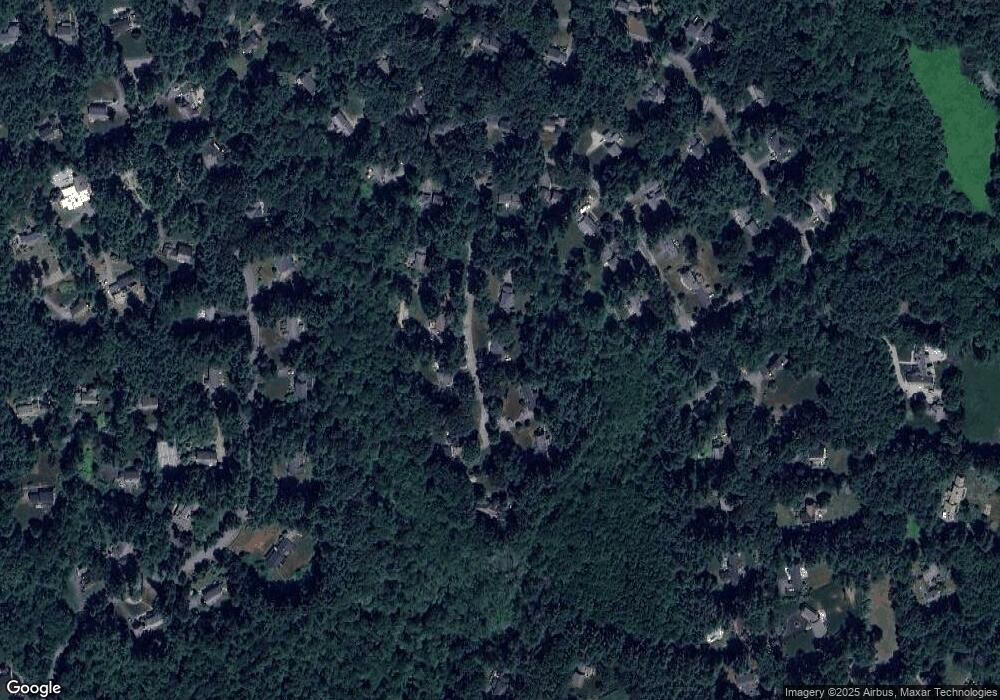
Map
Nearby Homes
- 63 Canterbury Dr
- 55 Widow Rites Ln
- 45 Widow Rites Ln
- 5 Taintor Dr
- 57 Longfellow Rd
- 29 Longfellow Rd
- 42 Dakin Rd
- 54 Phillips Rd
- 166 Parker St Unit 4
- 67 Powder Mill Rd
- 67 Old Marlboro Rd
- 4 Elderberry Cir
- 5 Oak Ridge Dr Unit 7
- 24 Goodnow Rd
- 250 Great Rd
- 47 Fairbank Rd
- 427 Concord Rd
- 369 Border Rd
- 401 Emery Ln Unit 304
- 121 White Pond Way Unit 121
- 23 Stone Root Ln
- 17 Stone Root Ln
- 26 Stone Root Ln
- 11 Stone Root Ln
- 29 Stone Root Ln
- 32 Stone Root Ln
- 65 Mossman Rd
- 89 Mossman Rd
- 71 Mossman Rd
- 71 Mossman Rd
- 87 Mossman Rd
- 61 Mossman Rd
- 85 Mossman Rd
- 35 Stone Root Ln
- 94 Thunder Rd
- 66 Mossman Rd
- 90 Thunder Rd
- 99 Mossman Rd
- 82 Mossman Rd
- 45 Mossman Rd