20 Suncrest Ave Beaver Dam, KY 42320
Estimated Value: $219,000 - $277,000
--
Bed
--
Bath
--
Sq Ft
0.79
Acres
About This Home
This home is located at 20 Suncrest Ave, Beaver Dam, KY 42320 and is currently estimated at $244,080. 20 Suncrest Ave is a home located in Ohio County with nearby schools including Ohio County Middle School, Ohio County High School, and Faith Foundation Academy.
Ownership History
Date
Name
Owned For
Owner Type
Purchase Details
Closed on
Aug 26, 2021
Sold by
West Jennifer A
Bought by
Sorrels Quinton S N
Current Estimated Value
Home Financials for this Owner
Home Financials are based on the most recent Mortgage that was taken out on this home.
Original Mortgage
$181,550
Outstanding Balance
$164,950
Interest Rate
2.7%
Mortgage Type
Construction
Estimated Equity
$79,130
Purchase Details
Closed on
Nov 4, 2009
Bought by
West Harold and Linda Faye
Create a Home Valuation Report for This Property
The Home Valuation Report is an in-depth analysis detailing your home's value as well as a comparison with similar homes in the area
Home Values in the Area
Average Home Value in this Area
Purchase History
| Date | Buyer | Sale Price | Title Company |
|---|---|---|---|
| Sorrels Quinton S N | $184,900 | Foreman Watson Land Title Llc | |
| West Harold | -- | -- |
Source: Public Records
Mortgage History
| Date | Status | Borrower | Loan Amount |
|---|---|---|---|
| Open | Sorrels Quinton S N | $181,550 |
Source: Public Records
Tax History Compared to Growth
Tax History
| Year | Tax Paid | Tax Assessment Tax Assessment Total Assessment is a certain percentage of the fair market value that is determined by local assessors to be the total taxable value of land and additions on the property. | Land | Improvement |
|---|---|---|---|---|
| 2024 | $1,782 | $184,900 | $0 | $0 |
| 2023 | $1,777 | $184,900 | $0 | $0 |
| 2022 | $1,760 | $184,900 | $0 | $0 |
| 2021 | $433 | $86,500 | $0 | $0 |
| 2020 | $443 | $86,500 | $0 | $0 |
| 2019 | $434 | $86,500 | $0 | $0 |
| 2018 | $433 | $86,500 | $0 | $0 |
| 2017 | $427 | $86,500 | $0 | $0 |
| 2016 | $417 | $86,500 | $0 | $0 |
| 2015 | $394 | $86,500 | $0 | $0 |
| 2014 | $395 | $86,500 | $0 | $0 |
| 2010 | -- | $86,500 | $86,500 | $0 |
Source: Public Records
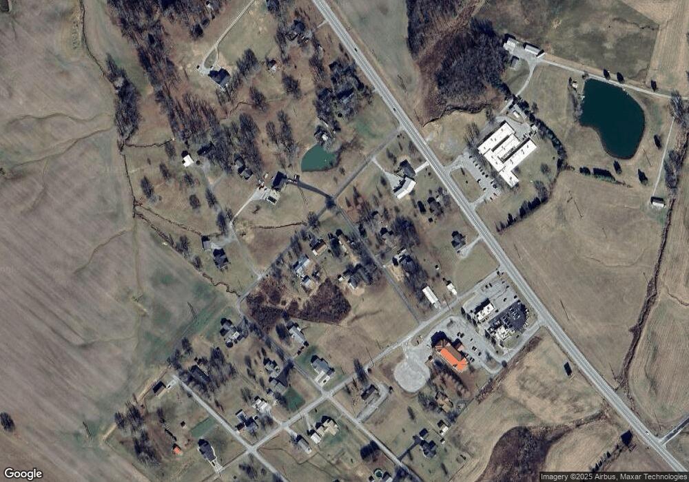
Map
Nearby Homes
- 1501 Apple House Rd
- 264 Apple House Rd
- 0 Taylor Mine Rd Unit LotWP001
- 0 Caroline Ln
- 108 Thompson Dr
- 259 Burge Ln
- 50 Jackson Ln
- 221 S Main St
- 512 N Broad St
- 535 N Mulberry St
- 304 Valley View Dr
- 821 N Broad St
- 408 W 9th St
- 100 Green Meadows Dr Unit 3
- 1010 N Broad St
- 1100 Duvall Rd
- 87 Hope St
- 1315 Phelps Ave
- 300 Lee Dr
- 1305 Cherry Ln
- 135 White St
- 135 White St
- 56 Suncrest Ave
- 49 Suncrest Ave
- 80 White St
- 65 Suncrest Ave
- 1622 S Us Highway 231
- 1576 S Us Highway 231
- 99 Suncrest Ave
- 166 White St
- 1668 S Us Highway 231
- 1668 S Us Highway 231
- 168 White St
- 75 Miller St
- 10 Miller St
- 10 Miller St
- 1482 S Us Highway 231
- 72 Miller St
- 155 Cr-1323d
- 1478 S Us Highway 231