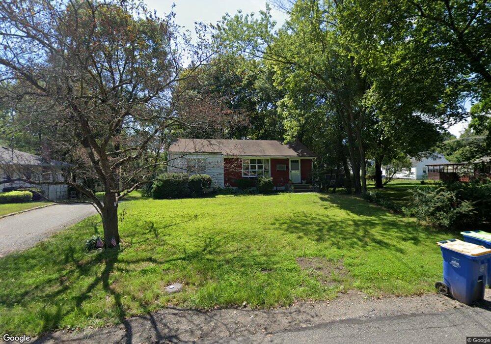
20 Sunnybrook Rd Bernardsville, NJ 07924
Estimated Value: $496,283 - $738,000
--
Bed
--
Bath
960
Sq Ft
$620/Sq Ft
Est. Value
About This Home
This home is located at 20 Sunnybrook Rd, Bernardsville, NJ 07924 and is currently estimated at $595,321, approximately $620 per square foot. 20 Sunnybrook Rd is a home located in Somerset County with nearby schools including Bernardsville Middle School, Bernards High School, and Saint James School.
Ownership History
Date
Name
Owned For
Owner Type
Purchase Details
Closed on
May 2, 2016
Sold by
Pooler Gregory
Bought by
Pooler Gregory and Pooler Meridith
Current Estimated Value
Home Financials for this Owner
Home Financials are based on the most recent Mortgage that was taken out on this home.
Original Mortgage
$288,000
Interest Rate
3.71%
Mortgage Type
New Conventional
Create a Home Valuation Report for This Property
The Home Valuation Report is an in-depth analysis detailing your home's value as well as a comparison with similar homes in the area
Home Values in the Area
Average Home Value in this Area
Purchase History
| Date | Buyer | Sale Price | Title Company |
|---|---|---|---|
| Pooler Gregory | -- | None Available |
Source: Public Records
Mortgage History
| Date | Status | Borrower | Loan Amount |
|---|---|---|---|
| Closed | Pooler Gregory | $288,000 |
Source: Public Records
Tax History Compared to Growth
Tax History
| Year | Tax Paid | Tax Assessment Tax Assessment Total Assessment is a certain percentage of the fair market value that is determined by local assessors to be the total taxable value of land and additions on the property. | Land | Improvement |
|---|---|---|---|---|
| 2025 | $7,695 | $426,200 | $246,300 | $179,900 |
| 2024 | $7,695 | $393,600 | $226,000 | $167,600 |
| 2023 | $7,518 | $374,200 | $215,200 | $159,000 |
| 2022 | $7,420 | $360,900 | $206,900 | $154,000 |
| 2021 | $7,333 | $349,500 | $202,900 | $146,600 |
| 2020 | $7,173 | $340,900 | $202,900 | $138,000 |
| 2019 | $6,813 | $334,300 | $192,900 | $141,400 |
| 2018 | $6,439 | $323,400 | $182,400 | $141,000 |
| 2017 | $6,018 | $312,300 | $172,400 | $139,900 |
| 2016 | $5,851 | $311,900 | $172,400 | $139,500 |
| 2015 | $5,594 | $304,500 | $162,400 | $142,100 |
| 2014 | $5,489 | $300,100 | $162,400 | $137,700 |
Source: Public Records
Map
Nearby Homes
- 16 Dayton Crescent
- 117 W Oak St
- 20 Anderson Hill Rd
- 26 Anderson Hill Rd
- 80 Claremont Rd Unit 802
- 80 Claremont Rd Unit 206
- 15 Highview Ave
- 41 Anderson Hill Rd
- 22 Dayton St
- 10 Tysley St
- 22 Orchard Hill Rd
- 101 Rippling Brook Way
- 58 Seney Dr
- 209 Lake Rd
- 71 Mount Harmony Rd
- 92 Whitenack Rd
- 135 Woods End Dr
- 149 Overleigh Rd
- 453 Mine Brook Rd
- 19 Juniper Way