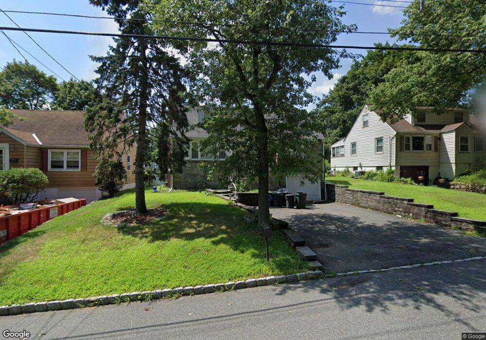
20 Sunnyside Rd West Orange, NJ 07052
Estimated Value: $525,908 - $687,000
--
Bed
--
Bath
1,656
Sq Ft
$383/Sq Ft
Est. Value
About This Home
This home is located at 20 Sunnyside Rd, West Orange, NJ 07052 and is currently estimated at $633,477, approximately $382 per square foot. 20 Sunnyside Rd is a home located in Essex County with nearby schools including West Orange High School, Our Lady of the Lake School, and Golda Och Academy.
Ownership History
Date
Name
Owned For
Owner Type
Purchase Details
Closed on
May 20, 1994
Sold by
Naporano Joseph
Bought by
Rome Leopold and Rome Cirstina
Current Estimated Value
Home Financials for this Owner
Home Financials are based on the most recent Mortgage that was taken out on this home.
Original Mortgage
$144,000
Interest Rate
8.19%
Purchase Details
Closed on
Aug 2, 1989
Sold by
Verde Richard J and Verde Caren T
Bought by
Naporano Joseph A
Create a Home Valuation Report for This Property
The Home Valuation Report is an in-depth analysis detailing your home's value as well as a comparison with similar homes in the area
Home Values in the Area
Average Home Value in this Area
Purchase History
| Date | Buyer | Sale Price | Title Company |
|---|---|---|---|
| Rome Leopold | $160,000 | -- | |
| Naporano Joseph A | $185,000 | -- |
Source: Public Records
Mortgage History
| Date | Status | Borrower | Loan Amount |
|---|---|---|---|
| Previous Owner | Rome Leopold | $144,000 |
Source: Public Records
Tax History Compared to Growth
Tax History
| Year | Tax Paid | Tax Assessment Tax Assessment Total Assessment is a certain percentage of the fair market value that is determined by local assessors to be the total taxable value of land and additions on the property. | Land | Improvement |
|---|---|---|---|---|
| 2025 | $12,819 | $549,600 | $265,500 | $284,100 |
| 2024 | $12,819 | $278,800 | $140,100 | $138,700 |
| 2022 | $12,370 | $278,800 | $140,100 | $138,700 |
| 2021 | $12,139 | $278,800 | $140,100 | $138,700 |
| 2020 | $11,944 | $278,800 | $140,100 | $138,700 |
| 2019 | $11,601 | $278,800 | $140,100 | $138,700 |
| 2018 | $11,258 | $278,800 | $140,100 | $138,700 |
| 2017 | $11,113 | $278,800 | $140,100 | $138,700 |
| 2016 | $10,845 | $278,800 | $140,100 | $138,700 |
| 2015 | $10,642 | $278,800 | $140,100 | $138,700 |
| 2014 | $10,433 | $278,800 | $140,100 | $138,700 |
Source: Public Records
Map
Nearby Homes
- 38 Porter Rd
- 7 Stanford Ct
- 5 Whitman St
- 80 Conforti Ave
- 74 Fitzrandolph Rd
- 863 Pleasant Valley Way
- 35 Fitzrandolph Rd
- 7 Shrump Place
- 3 Mount Vernon Ave
- 34 Fitzrandolph Rd
- 48 Clarken Dr Unit 243
- 48 Clarken Dr Unit 48
- 11 Buckingham Rd
- 17 Johnson Rd
- 33 Robertson Rd
- 33 Mcguire Dr
- 129 Clarken Dr
- 18 Buckingham Rd
- 22 Sunnyside Rd
- 18 Sunnyside Rd
- 24 Sunnyside Rd
- 16 Sunnyside Rd
- 21 Curtis Ave
- 19 Curtis Ave
- 19 Sunnyside Rd
- 25 Curtis Ave
- 17 Curtis Ave
- 17 Curtis Ave
- 26 Sunnyside Rd
- 21 Sunnyside Rd
- 14 Sunnyside Rd
- 17 Sunnyside Rd
- 23 Sunnyside Rd
- 15 Sunnyside Rd
- 15 Curtis Ave
- 12 Sunnyside Rd
- 25 Sunnyside Rd
- 13 Sunnyside Rd