20 Sutcliffe Park Newton Highlands, MA 02461
Newton Highlands NeighborhoodEstimated Value: $1,855,000 - $2,214,000
4
Beds
4
Baths
3,579
Sq Ft
$570/Sq Ft
Est. Value
About This Home
This home is located at 20 Sutcliffe Park, Newton Highlands, MA 02461 and is currently estimated at $2,040,213, approximately $570 per square foot. 20 Sutcliffe Park is a home located in Middlesex County with nearby schools including Countryside Elementary School, Charles E Brown Middle School, and Newton South High School.
Ownership History
Date
Name
Owned For
Owner Type
Purchase Details
Closed on
Apr 1, 1993
Sold by
Kwatcher George H
Bought by
Olshansky Isay and Oshansky Agnes
Current Estimated Value
Home Financials for this Owner
Home Financials are based on the most recent Mortgage that was taken out on this home.
Original Mortgage
$163,000
Interest Rate
7.6%
Mortgage Type
Purchase Money Mortgage
Create a Home Valuation Report for This Property
The Home Valuation Report is an in-depth analysis detailing your home's value as well as a comparison with similar homes in the area
Home Values in the Area
Average Home Value in this Area
Purchase History
| Date | Buyer | Sale Price | Title Company |
|---|---|---|---|
| Olshansky Isay | $210,000 | -- |
Source: Public Records
Mortgage History
| Date | Status | Borrower | Loan Amount |
|---|---|---|---|
| Closed | Olshansky Isay | $163,000 |
Source: Public Records
Tax History Compared to Growth
Tax History
| Year | Tax Paid | Tax Assessment Tax Assessment Total Assessment is a certain percentage of the fair market value that is determined by local assessors to be the total taxable value of land and additions on the property. | Land | Improvement |
|---|---|---|---|---|
| 2025 | $18,126 | $1,849,600 | $976,400 | $873,200 |
| 2024 | $17,526 | $1,795,700 | $948,000 | $847,700 |
| 2023 | $16,878 | $1,658,000 | $731,300 | $926,700 |
| 2022 | $16,150 | $1,535,200 | $677,100 | $858,100 |
| 2021 | $15,584 | $1,448,300 | $638,800 | $809,500 |
| 2020 | $15,120 | $1,448,300 | $638,800 | $809,500 |
| 2019 | $14,694 | $1,406,100 | $620,200 | $785,900 |
| 2018 | $14,282 | $1,320,000 | $561,600 | $758,400 |
| 2017 | $13,848 | $1,245,300 | $529,800 | $715,500 |
| 2016 | $12,730 | $1,118,600 | $495,100 | $623,500 |
| 2015 | $12,137 | $1,045,400 | $462,700 | $582,700 |
Source: Public Records
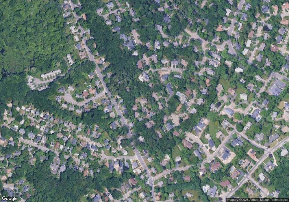
Map
Nearby Homes
- 51 Carl St
- 15 Buff Cir
- 36 Roland St
- 128 Charlemont St
- 36 Cannon St
- 415 Dedham St Unit D
- 250 Woodcliff Rd
- 116 Upland Ave
- 183 Oak St Unit 307
- 183 Oak St Unit 205
- 1308 Walnut St
- 1292 Walnut St
- 58 Country Club Rd
- 66 Linden St
- 1 Williams Ct
- 19 Selwyn Rd
- 125 Oakdale Rd
- 207 Nahanton St Unit 207
- 45 Brandeis Rd
- 12 Shawmut Park
- 12 Sutcliffe Park
- 311 Upland Ave
- 303 Upland Ave
- 19 Sutcliffe Park
- 350 Winchester St
- 321 Upland Ave
- 11 Sutcliffe Park
- 356 Winchester St
- 338 Winchester St
- 346 Winchester St
- 295 Upland Ave
- 364 Winchester St
- 336 Winchester St
- 368 Winchester St
- 331 Upland Ave
- 293 Upland Ave
- 308 Upland Ave
- 332 Winchester St
- 30 Nod Hill Rd
- 30 Nod Hill Rd