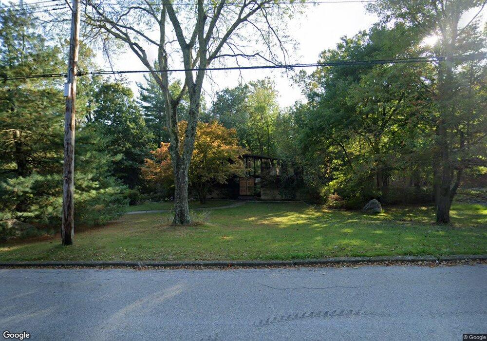
20 Tavano Rd Ossining, NY 10562
North Ossining NeighborhoodEstimated Value: $821,000 - $963,000
4
Beds
2
Baths
1,960
Sq Ft
$446/Sq Ft
Est. Value
About This Home
This home is located at 20 Tavano Rd, Ossining, NY 10562 and is currently estimated at $874,103, approximately $445 per square foot. 20 Tavano Rd is a home located in Westchester County with nearby schools including Park School, Brookside Elementary School, and Roosevelt Elementary School.
Ownership History
Date
Name
Owned For
Owner Type
Purchase Details
Closed on
Jul 27, 2018
Sold by
Ross Gerald N
Bought by
Pocock Ciaran S and Honeysett Christina B
Current Estimated Value
Home Financials for this Owner
Home Financials are based on the most recent Mortgage that was taken out on this home.
Original Mortgage
$476,000
Outstanding Balance
$413,387
Interest Rate
4.5%
Mortgage Type
New Conventional
Estimated Equity
$460,716
Purchase Details
Closed on
May 20, 2016
Sold by
Ross Gerald N
Bought by
Ross Gerald N
Create a Home Valuation Report for This Property
The Home Valuation Report is an in-depth analysis detailing your home's value as well as a comparison with similar homes in the area
Home Values in the Area
Average Home Value in this Area
Purchase History
| Date | Buyer | Sale Price | Title Company |
|---|---|---|---|
| Pocock Ciaran S | $560,000 | Continental Abstract | |
| Ross Gerald N | -- | Attorney |
Source: Public Records
Mortgage History
| Date | Status | Borrower | Loan Amount |
|---|---|---|---|
| Open | Pocock Ciaran S | $476,000 |
Source: Public Records
Tax History Compared to Growth
Tax History
| Year | Tax Paid | Tax Assessment Tax Assessment Total Assessment is a certain percentage of the fair market value that is determined by local assessors to be the total taxable value of land and additions on the property. | Land | Improvement |
|---|---|---|---|---|
| 2024 | -- | $732,500 | $228,100 | $504,400 |
| 2023 | $20,256 | $685,200 | $228,100 | $457,100 |
| 2022 | $20,137 | $612,800 | $228,100 | $384,700 |
| 2021 | $20,345 | $557,100 | $228,100 | $329,000 |
| 2020 | $18,851 | $557,100 | $228,100 | $329,000 |
| 2019 | $18,907 | $502,600 | $228,100 | $274,500 |
| 2018 | $13,420 | $502,600 | $228,100 | $274,500 |
| 2017 | $8,824 | $497,700 | $228,100 | $269,600 |
| 2016 | $161,367 | $483,200 | $228,100 | $255,100 |
| 2015 | -- | $28,400 | $9,900 | $18,500 |
| 2014 | -- | $28,400 | $9,900 | $18,500 |
| 2013 | -- | $28,400 | $9,900 | $18,500 |
Source: Public Records
Map
Nearby Homes
- 94 Somerstown Rd
- 83 Somerstown Rd
- 110 Morningside Dr
- 120 Morningside Dr
- 33 Ryder Rd
- 19 Donald Ln
- 14 Gates Ave
- 40 Minkel Rd
- 42 Campwoods Grounds
- 7 Grandview Ave
- 181 Somerstown Rd
- 7 Bracken Rd
- 21 Candlewood Ct
- 200 Route 9a
- 517 Old Chappaqua Rd
- 135 - 6 Highland Ave S Unit D1
- 62 Taconic Rd
- 7 Hawkes Ave
- 8 Eldridge Ave
- 10 Barnes Ln