Estimated Value: $471,123 - $599,000
Studio
--
Bath
1,538
Sq Ft
$362/Sq Ft
Est. Value
About This Home
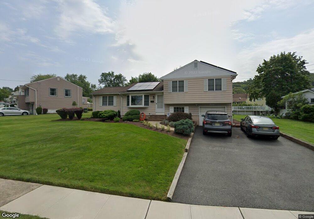
This home is located at 20 Taylor St, Dover, NJ 07801 and is currently estimated at $556,531, approximately $361 per square foot. 20 Taylor St is a home located in Morris County with nearby schools including Birchwood School, Copeland Middle School, and Divine Mercy Academy.
Ownership History
Date
Name
Owned For
Owner Type
Purchase Details
Closed on
Jul 24, 2013
Sold by
Maio Joseph and Maio Michelle
Bought by
Maio Joseph and Maio Michelle
Current Estimated Value
Home Financials for this Owner
Home Financials are based on the most recent Mortgage that was taken out on this home.
Original Mortgage
$117,012
Outstanding Balance
$27,039
Interest Rate
3.5%
Mortgage Type
FHA
Estimated Equity
$529,492
Purchase Details
Closed on
Dec 19, 2011
Sold by
Maio Theodore
Bought by
Maio Joseph
Purchase Details
Closed on
May 27, 1997
Sold by
Melchione Tammy and Melchione Louis
Bought by
Maio Theodore and Berrier Michelle
Home Financials for this Owner
Home Financials are based on the most recent Mortgage that was taken out on this home.
Original Mortgage
$135,000
Interest Rate
7.31%
Create a Home Valuation Report for This Property
The Home Valuation Report is an in-depth analysis detailing your home's value as well as a comparison with similar homes in the area
Home Values in the Area
Average Home Value in this Area
Purchase History
| Date | Buyer | Sale Price | Title Company |
|---|---|---|---|
| Maio Joseph | -- | None Available | |
| Maio Joseph | -- | None Available | |
| Maio Theodore | $195,000 | First American Title Ins Co |
Source: Public Records
Mortgage History
| Date | Status | Borrower | Loan Amount |
|---|---|---|---|
| Open | Maio Joseph | $117,012 | |
| Previous Owner | Maio Theodore | $135,000 |
Source: Public Records
Tax History
| Year | Tax Paid | Tax Assessment Tax Assessment Total Assessment is a certain percentage of the fair market value that is determined by local assessors to be the total taxable value of land and additions on the property. | Land | Improvement |
|---|---|---|---|---|
| 2025 | $9,584 | $397,700 | $242,700 | $155,000 |
| 2024 | $9,218 | $373,800 | $227,400 | $146,400 |
Source: Public Records
Map
Nearby Homes
- 515 Herrick Dr
- 12 David St
- 301 E McFarlan St -A and B
- 19 Heritage Way
- 26 Stephen Place
- 336 Mount Pleasant Ave
- 34 Hillsborough Ct Unit 34
- 31 Independence Way
- 22 Faesch Ct
- 12 Lincoln Ave
- 414 Mineral Springs Dr
- 14 Jessica Ln
- 195 Mount Pleasant Ave
- 18 Elycroft Ave
- 318 W Main St
- 179 Pequannock St
- 1111 Clinton Ln Unit 111
- 3211 Cleveland Ln Unit 211
- 3209 Cleveland Ln Unit 209
- 75 White St
Your Personal Tour Guide
Ask me questions while you tour the home.